
Portage County, Administrative division in Northeast Ohio, United States
Portage County spans 504 square miles of land and water, featuring West Branch State Park, Nelson-Kennedy Ledges State Park, and three state nature preserves.
The General Assembly established Portage County on June 9, 1808, naming it after the portage between the Cuyahoga and Tuscarawas rivers.
Kent State University and Hiram College provide higher education opportunities, while multiple public school districts and libraries serve the county's educational needs.
The region connects to major metropolitan areas through Interstate 80 and Interstate 76, with fourteen state routes linking communities across Northeast Ohio.
The county maintains Towners Woods park through a one-dollar annual lease to the Portage Park Commissioners, offering recreational spaces for residents.
Location: Ohio
Inception: February 10, 1807
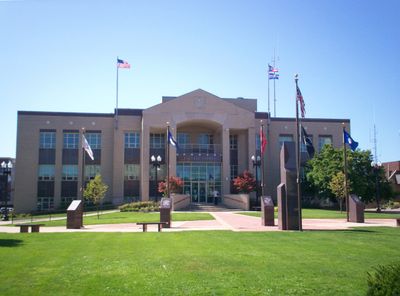
Capital city: Ravenna
Shares border with: Summit County, Cuyahoga County, Geauga County, Trumbull County, Mahoning County, Stark County
Website: https://portagecounty-oh.gov
GPS coordinates: 41.17000,-81.20000
Latest update: May 27, 2025 06:48
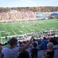
Dix Stadium
10.1 km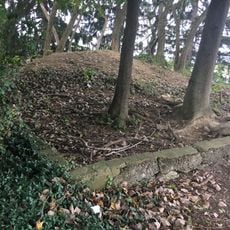
Partially Buried Woodshed
12.1 km
West Branch State Park
8.3 km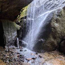
Nelson Kennedy Ledges State Park
22.2 km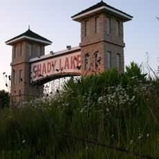
Shady Lake Park
15.8 km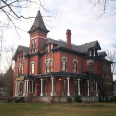
Masonic Temple
13.8 km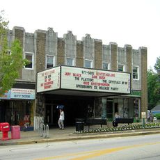
Kent Stage
13.2 km
Memorial Stadium
12.3 km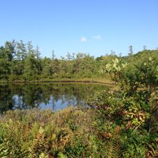
Triangle Lake Bog State Nature Preserve
7.4 km
Kent Industrial District
13.6 km
Wills Gymnasium
12.6 km
Rockwell Field
10.1 km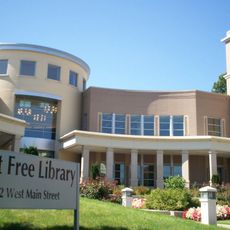
Kent Free Library
13.6 km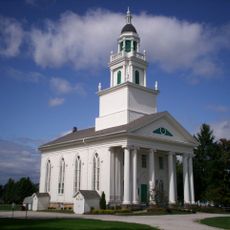
Atwater Congregational Church
17 km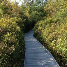
Tom S. Cooperrider-Kent Bog State Nature Preserve
13.6 km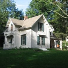
Aaron Ferrey House
14.7 km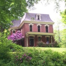
John Davey House
13.9 km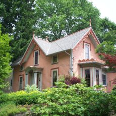
Charles Kent House
14 km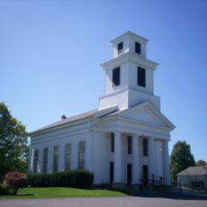
Freedom Congregational Church
8.5 km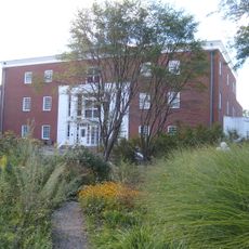
Hiram College Library
16.3 km
Mantua Center School
16.2 km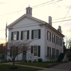
Franklin Township Hall
13.5 km
West Main Street District
14 km
Aurora Center Historic District
20.2 km
C.R. Howard House
19.8 km
Ohio State Normal College At Kent
12.6 km
Kent State University Center for the Performing Arts
11.9 km
May 4, 1970, Kent State Shootings Site
12.2 kmReviews
Visited this place? Tap the stars to rate it and share your experience / photos with the community! Try now! You can cancel it anytime.
Discover hidden gems everywhere you go!
From secret cafés to breathtaking viewpoints, skip the crowded tourist spots and find places that match your style. Our app makes it easy with voice search, smart filtering, route optimization, and insider tips from travelers worldwide. Download now for the complete mobile experience.

A unique approach to discovering new places❞
— Le Figaro
All the places worth exploring❞
— France Info
A tailor-made excursion in just a few clicks❞
— 20 Minutes