Enable Location

We need your location to show you interesting places around you

Discover nearby places

Find interesting locations and hidden gems around you

Precise directions

Get accurate directions and distances to places

Your location is never shared with other users. It's only used when you tap the location button.

Lawrence County

Log in to your account

Start exploring — it's free

Trusted by 62,836 travelers worldwide

Continue with Google
Continue with Apple
or

We will send you a code to connect

By continuing, you accept our Terms and Conditions and our Privacy Policy

Check your inbox

We've sent a pincode in your inbox. Please enter the code below.

Lawrence County, Administrative division in southern Ohio, United States

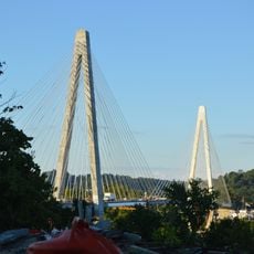
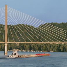
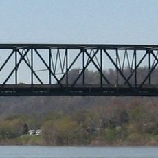
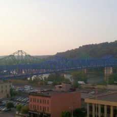
Lawrence County is an administrative division in southern Ohio that stretches across both sides of the Ohio River, blending urban areas with farmland. The terrain varies across the county, creating a mix of developed and rural communities.

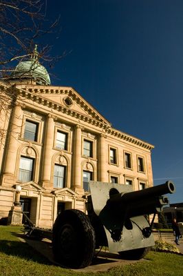
The county was created in 1817 and named after naval officer James Lawrence, reflecting the region's maritime heritage. Ironton became the administrative seat in 1851 and grew into the county's primary center.

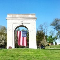
The annual Memorial Day Parade in Ironton has drawn people from across the region since 1868 and shapes how the community gathers together. This tradition reflects the strong local bonds that residents share with one another.

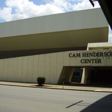
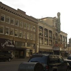
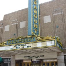
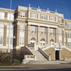
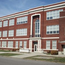
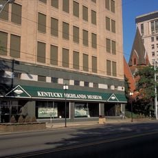
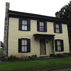
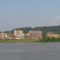
Ironton, the administrative center, provides essential services including medical facilities, schools, and government offices for residents throughout the county. Visitors can explore the various towns and communities scattered across the area.

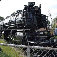
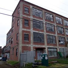
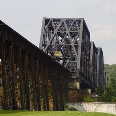
Iron produced in Ironton during the 19th century was used to build the USS Monitor, the nation's first ironclad warship. This manufacturing played a role in the country's industrial and military development.

The community of curious travelers

AroundUs brings together thousands of curated places, local tips, and hidden gems, enriched daily by 60,000 contributors worldwide.

Start exploring
Location
Inception
March 1, 1817
Capital city
Ironton
Reference
LAW
Shares border with
Jackson County, Wayne County, Gallia County, Cabell County, Scioto County, Greenup County, Boyd County
GPS coordinates
38.59000,-82.54000
Latest update
December 22, 2025 17:02
Around this place
Camden Park
United States of America

Camden Park

21.8 km
Joan C. Edwards Stadium
United States of America

Joan C. Edwards Stadium

21.1 km
Fairfield Stadium
United States of America

Fairfield Stadium

22.1 km
Cam Henderson Center
United States of America

Cam Henderson Center

20.9 km
Keith-Albee Theatre
United States of America

Keith-Albee Theatre

20.6 km
Paramount Arts Center
United States of America

Paramount Arts Center

15.2 km
Chesapeake and Ohio 1308
United States of America

Chesapeake and Ohio 1308

21.3 km
Ironton–Russell Bridge
United States of America

Ironton–Russell Bridge

14.5 km
East Huntington Bridge
United States of America

East Huntington Bridge

21.8 km
Robert C. Byrd Bridge
United States of America

Robert C. Byrd Bridge

20 km
Old Main
United States of America

Old Main

20.9 km
Old Huntington High School
United States of America

Old Huntington High School

21.4 km
Douglass Junior and Senior High School
United States of America

Douglass Junior and Senior High School

21.7 km
Ben Williamson Memorial Bridge
United States of America

Ben Williamson Memorial Bridge

14.7 km
Ritter Park Historic District
United States of America

Ritter Park Historic District

22.5 km
Highlands Museum and Discovery Center
United States of America

Highlands Museum and Discovery Center

15.1 km
Liggett and Myers Tobacco Company
United States of America

Liggett and Myers Tobacco Company

20.8 km
United States of America

West Huntington Bridge

20.2 km
United States of America

Mayo Mansion

15.5 km
Simeon Willis Memorial Bridge
United States of America

Simeon Willis Memorial Bridge

14.7 km
Cabell County Courthouse
United States of America

Cabell County Courthouse

20.6 km
Downtown Huntington Historic District
United States of America

Downtown Huntington Historic District

20.8 km
Norfolk Southern Bridge
United States of America

Norfolk Southern Bridge

20.7 km
Thomas Carroll House
United States of America

Thomas Carroll House

22.2 km
Pink Bridge
United States of America

Pink Bridge

22.1 km
Memorial Arch
United States of America

Memorial Arch

21.5 km
Ohev Sholom Temple
United States of America

Ohev Sholom Temple

21.6 km
Rotary Park Bridge
United States of America

Rotary Park Bridge

22.9 km
Show the full map
Administrative divisions
« Lawrence County - Administrative division in southern Ohio, United States » is provided by Around Us (aroundus.com). Images and texts are derived from Wikimedia project under a Creative Commons license. You are allowed to copy, distribute, and modify copies of this page, under the conditions set by the license, as long as this note is clearly visible.

Discover hidden gems everywhere you go!

From secret cafés to breathtaking viewpoints, skip the crowded tourist spots and find places that match your style. Our app makes it easy with voice search, smart filtering, route optimization, and insider tips from travelers worldwide. Download now for the complete mobile experience.

Around Us App Screenshot

A unique approach to discovering new places

Le Figaro

All the places worth exploring

France Info

A tailor-made excursion in just a few clicks

20 Minutes

Around Us
Travel Guide & Maps
Download

Send to your phone

QR Code
1

Open the camera app on your mobile.

2

Point at the QR code with your camera. A notification will appear.

3

Tap the notification to open the link.