Enable Location

We need your location to show you interesting places around you

Discover nearby places

Find interesting locations and hidden gems around you

Precise directions

Get accurate directions and distances to places

Your location is never shared with other users. It's only used when you tap the location button.

Campbell County

Log in to your account

Start exploring — it's free

Trusted by 61,576 travelers worldwide

Continue with Google
Continue with Apple
or

We will send you a code to connect

By continuing, you accept our Terms and Conditions and our Privacy Policy

Check your inbox

We've sent a pincode in your inbox. Please enter the code below.

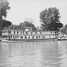
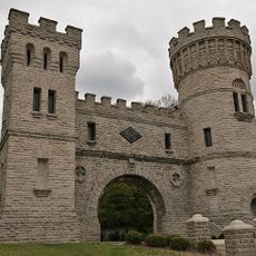
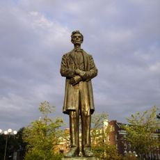
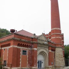
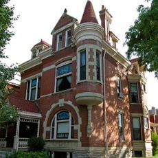
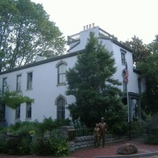
Campbell County, County in Cincinnati metropolitan area, Kentucky, United States.

Description

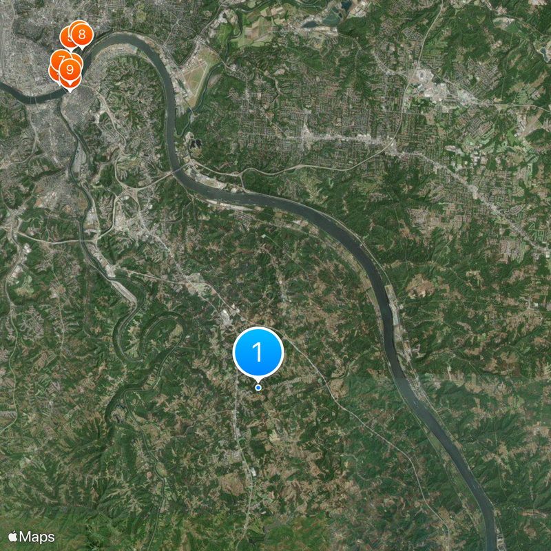
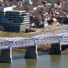
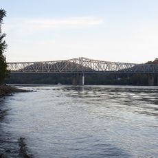
Campbell County is an administrative region covering approximately 412 square kilometers, positioned along Kentucky's border with Ohio to the north. The landscape is crossed by major interstate highways and state routes that form the backbone of transportation across the county.

History

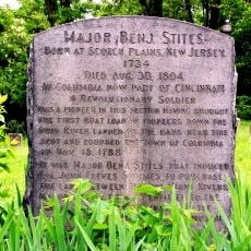
Established in December 1794, the county was carved out from portions of neighboring counties and named after Revolutionary War Colonel John Campbell. This creation was part of Kentucky's early expansion and administrative reorganization as the state developed.

Culture

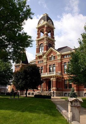
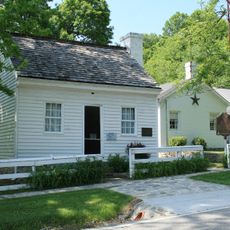
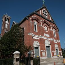
Alexandria and Newport function as two separate administrative centers where residents conduct their daily official business and gather for community events. This dual-seat arrangement shapes how the county's civic life is organized and distributed across the region.

Practical

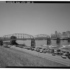
Visitors can navigate using Interstate 275 and 471, which connect the region to Cincinnati and surrounding areas. The two main towns of Alexandria and Newport offer services and amenities for anyone traveling through the county.

Did you know?

The county operates a yearly voucher program that provides residents with free trash disposal services, reflecting a commitment to community cleanliness. This practical support system is one of the services the county government extends to those living in the area.

Location
Inception
December 17, 1794
Capital city
Alexandria
Part of
Cincinnati metropolitan area
Shares border with
Hamilton County, Clermont County, Pendleton County, Kenton County
GPS coordinates
38.95000,-84.38000
Latest update
December 20, 2025 16:01

AroundUs brings together thousands of curated places, local tips, and hidden gems, enriched daily by 60,000 contributors worldwide. Discover all places nearby (Kentucky).

Around this place
Heritage Bank Center
United States of America

Heritage Bank Center

19.7 km
Miami and Erie Canal
United States of America

Miami and Erie Canal

19.6 km
Newport Aquarium
United States of America

Newport Aquarium

19 km
Cincinnati Art Museum
United States of America

Cincinnati Art Museum

20.9 km
Eden Park
United States of America

Eden Park

20.9 km
Taft Museum of Art
United States of America

Taft Museum of Art

20 km
Krohn Conservatory
United States of America

Krohn Conservatory

20.7 km
Purple People Bridge
United States of America

Purple People Bridge

19.4 km
Grant Birthplace
United States of America

Grant Birthplace

14.2 km
Daniel Carter Beard Bridge
United States of America

Daniel Carter Beard Bridge

19.5 km
Taylor–Southgate Bridge
United States of America

Taylor–Southgate Bridge

19.3 km
Spring House Gazebo
United States of America

Spring House Gazebo

20.8 km
Capitoline Wolf Statue, Cincinnati
United States of America

Capitoline Wolf Statue, Cincinnati

20.9 km
World Peace Bell
United States of America

World Peace Bell

18.7 km
Majestic
United States of America

Majestic

19.5 km
Elsinore Arch
United States of America

Elsinore Arch

20.9 km
Eden Park Stand Pipe
United States of America

Eden Park Stand Pipe

20.9 km
Combs–Hehl Bridge
United States of America

Combs–Hehl Bridge

12.9 km
Holy Cross Monastery and Chapel
United States of America

Holy Cross Monastery and Chapel

20.3 km
Statue of Abraham Lincoln
United States of America

Statue of Abraham Lincoln

20 km
Eden Park Station No. 7
United States of America

Eden Park Station No. 7

20.5 km
Mansion Hill Historic District
United States of America

Mansion Hill Historic District

18.7 km
Daniel Carter Beard Boyhood Home
United States of America

Daniel Carter Beard Boyhood Home

18.9 km
United States of America

Python

12 km
Cincinnati Street Gas Lamps
United States of America

Cincinnati Street Gas Lamps

19.7 km
Pioneer Memorial Cemetery, Cincinnati
United States of America

Pioneer Memorial Cemetery, Cincinnati

17.9 km
United States of America

Alms Park

18.4 km
Cincinnati–Newport Bridge
United States of America

Cincinnati–Newport Bridge

19.3 km
Show the full map
Administrative divisions
« Campbell County - County in Cincinnati metropolitan area, Kentucky, United States » is provided by Around Us (aroundus.com). Images and texts are derived from Wikimedia project under a Creative Commons license. You are allowed to copy, distribute, and modify copies of this page, under the conditions set by the license, as long as this note is clearly visible.

Discover hidden gems everywhere you go!

From secret cafés to breathtaking viewpoints, skip the crowded tourist spots and find places that match your style. Our app makes it easy with voice search, smart filtering, route optimization, and insider tips from travelers worldwide. Download now for the complete mobile experience.

Around Us App Screenshot

A unique approach to discovering new places

Le Figaro

All the places worth exploring

France Info

A tailor-made excursion in just a few clicks

20 Minutes

Around Us
Travel Guide & Maps
Download

Send to your phone

QR Code
1

Open the camera app on your mobile.

2

Point at the QR code with your camera. A notification will appear.

3

Tap the notification to open the link.