Beaver County

Log in to your account

AroundUs is a community-driven map of interesting places, built by curious explorers like you. It grows with every review, story, and photo you share.
Connect to save your favorite spots, contribute locations, and create personalized routes.
Continue with Google
Continue with Apple
Continue with X
Continue with Facebook
Continue with email
By continuing, you accept our Terms and Conditions and our Privacy Policy
Create an account
Add to collection
Map
Suggest a change
Share

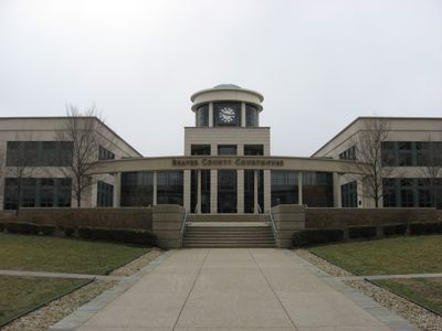
Beaver County, County in southwestern Pennsylvania, United States

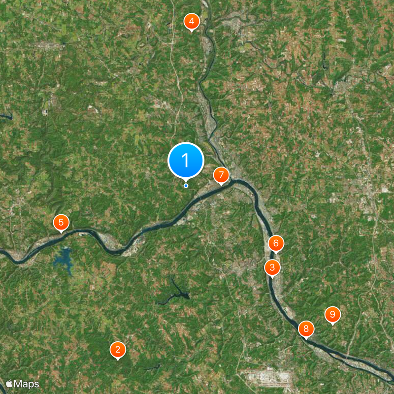
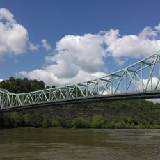
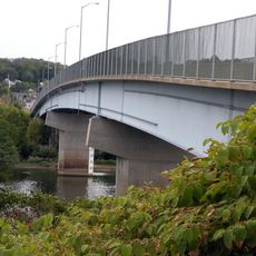
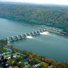
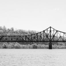
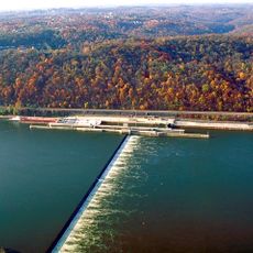
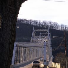
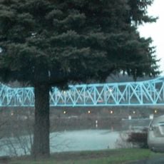
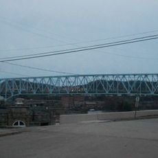
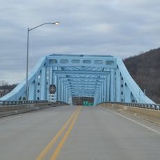
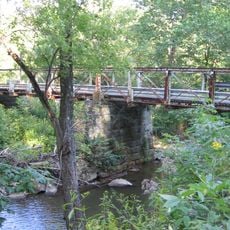
Beaver County is an administrative region in southwestern Pennsylvania that spans a broad territory shaped by river systems. The Ohio River and Beaver River run through the landscape, determining where communities sit and how the area is organized.

The region formed in 1800 as a new administrative unit created by combining sections from neighboring counties. This reorganization was part of Pennsylvania's broader administrative reshaping during that period.

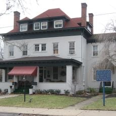
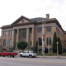
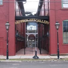
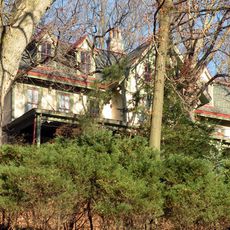
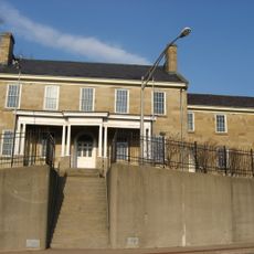
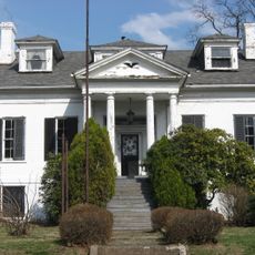
The memory of labor movements and industrial work remains visible in the communities through old stories and factory buildings that still stand today. These landmarks show how important craftsmanship and worker solidarity became central to the region's identity.

The region is connected by local buses that let people travel between towns and to the nearby major city. Visitors should know that communities spread across several areas divided by river crossings.

The region hosts a specialized project working with a local university to track health-related challenges across communities. This network helps towns understand and respond to emerging issues more effectively.

Location: Pennsylvania

Inception: March 12, 1800

Capital city: Beaver

Shares border with: Butler County, Lawrence County, Allegheny County, Washington County, Hancock County, Columbiana County

Website: http://beavercountypa.gov

GPS coordinates: 40.69000,-80.35000

Latest update: December 14, 2025 18:01

Photos
Around this place
Raccoon Creek State Park
United States of America

Raccoon Creek State Park

21.3 km
Old Economy Village
United States of America

Old Economy Village

14.4 km
Pittsburgh International Race Complex
United States of America

Pittsburgh International Race Complex

17.7 km
Beginning Point of the U.S. Public Land Survey
United States of America

Beginning Point of the U.S. Public Land Survey

15.2 km
Legionville
United States of America

Legionville

12.8 km
Fort McIntosh
United States of America

Fort McIntosh

4 km
Sewickley Bridge
United States of America

Sewickley Bridge

22.2 km
Wilpen Hall
United States of America

Wilpen Hall

23.1 km
Coraopolis Bridge
United States of America

Coraopolis Bridge

25.6 km
United States of America

Beaver River Bridge

13.8 km
Montgomery Locks and Dam
United States of America

Montgomery Locks and Dam

5.4 km
United States of America

Air Heritage Museum

10.3 km
Beaver Bridge
United States of America

Beaver Bridge

5 km
Dashields Locks and Dam
United States of America

Dashields Locks and Dam

19.8 km
Matthew S. Quay House
United States of America

Matthew S. Quay House

3.9 km
Carnegie Free Library of Beaver Falls
United States of America

Carnegie Free Library of Beaver Falls

7.4 km
Merrick Art Gallery
United States of America

Merrick Art Gallery

5.8 km
Ambridge-Aliquippa Bridge
United States of America

Ambridge-Aliquippa Bridge

14.5 km
Monaca – East Rochester Bridge
United States of America

Monaca – East Rochester Bridge

7 km
B.F. Jones Memorial Library
United States of America

B.F. Jones Memorial Library

11.9 km
Elmridge
United States of America

Elmridge

18.7 km
Captain William Vicary House
United States of America

Captain William Vicary House

8.5 km
Rochester-Monaca Bridge
United States of America

Rochester-Monaca Bridge

5.7 km
United States of America

State Game Lands Number 285

17.8 km
William B. Dunlap Mansion
United States of America

William B. Dunlap Mansion

4.8 km
United States of America

State Game Lands Number 189

18 km
Shippingport Bridge
United States of America

Shippingport Bridge

9.9 km
Watts Mill Bridge
United States of America

Watts Mill Bridge

16.5 km
Show the full map
Reviews

Visited this place? Tap the stars to rate it and share your experience / photos with the community! Try now! You can cancel it anytime.

« Beaver County - County in southwestern Pennsylvania, United States » is provided by Around Us (aroundus.com). Images and texts are derived from Wikimedia project under a Creative Commons license. You are allowed to copy, distribute, and modify copies of this page, under the conditions set by the license, as long as this note is clearly visible.

Discover hidden gems everywhere you go!

From secret cafés to breathtaking viewpoints, skip the crowded tourist spots and find places that match your style. Our app makes it easy with voice search, smart filtering, route optimization, and insider tips from travelers worldwide. Download now for the complete mobile experience.

Around Us App Screenshot

A unique approach to discovering new places

Le Figaro

All the places worth exploring

France Info

A tailor-made excursion in just a few clicks

20 Minutes