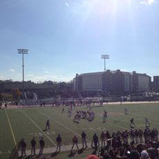
Schuylkill County, County administrative region in eastern Pennsylvania, United States
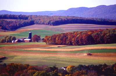
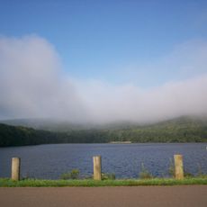
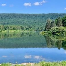
Schuylkill County is an administrative unit in eastern Pennsylvania that covers forested hills and small towns once shaped by coal mining. The territory includes several rivers and creeks, among them the Schuylkill River, which flows through varied terrain before continuing south.
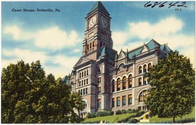
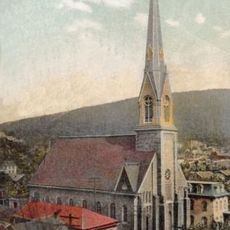
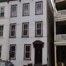
The county was formed in 1811 from parts of Berks County and Northampton County after anthracite coal was discovered in the Pottsville area during the 1790s. Mining drew thousands of workers and transformed small settlements into busy towns that grew through the 20th century.
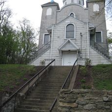
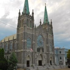
German immigrants and Eastern European miners shaped the local traditions through their customs, foods, and mining practices that continue today.
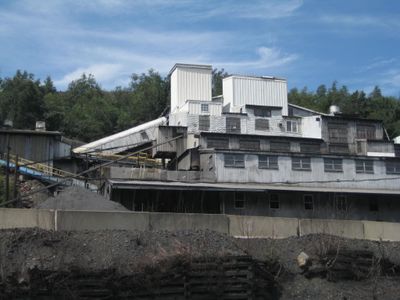
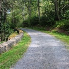
Visitors can drive through small towns and observe former mining structures along rural roads, especially in the northern and western parts. Information about public offices and municipal services is available online if business needs arise.
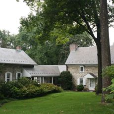
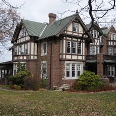
Several towns across the county carry German names that recall early settlers from Germany and Switzerland who arrived during the 18th and 19th centuries. Miners' cemeteries lie scattered across rural areas, marking the hard working conditions and accidents that shaped community life.
Location: Pennsylvania
Inception: March 1, 1811
Capital city: Pottsville
Shares border with: Luzerne County, Columbia County, Northumberland County, Dauphin County, Lebanon County, Berks County, Lehigh County, Carbon County
Website: http://co.schuylkill.pa.us
GPS coordinates: 40.70000,-76.21000
Latest update: December 13, 2025 18:50
Knoebels Amusement Resort
31.8 km
Phoenix
31.9 kmVraj Hindu Temple
16.2 km
Hawk Mountain
20.3 km
Flying Turns
31.8 kmMuhammad Ali's Training Camp
12 km
Crystal Cave
36.6 km
Hawk Mountain Sanctuary
19.5 km
Impulse
31.7 km
Swatara State Park
27.8 kmBlack Diamond
32 km
Twister
31.7 km
Locust Lake State Park
10.9 km
Tuscarora State Park
19.2 km
Leaser Lake
31.9 kmThe Pinnacle
27 km
Assumption of the Blessed Virgin Mary Ukrainian Catholic Church
16.5 km
Weiser State Forest
7.9 km
St. Edward's Catholic Church
30.5 km
Boonecroft
20.7 km
Frank D. Yuengling Mansion
2.4 km
University Field
42 km
Schaumboch's Tavern
20.7 km
John O'Hara House
2.1 kmState Game Lands Number 58
25.7 km
St. Gabriel's Catholic Parish Complex
34.2 kmCloud Home
2.5 km
High Speed Thrill Coaster
31.8 kmVisited this place? Tap the stars to rate it and share your experience / photos with the community! Try now! You can cancel it anytime.
Discover hidden gems everywhere you go!
From secret cafés to breathtaking viewpoints, skip the crowded tourist spots and find places that match your style. Our app makes it easy with voice search, smart filtering, route optimization, and insider tips from travelers worldwide. Download now for the complete mobile experience.
A unique approach to discovering new places❞
— Le Figaro
All the places worth exploring❞
— France Info
A tailor-made excursion in just a few clicks❞
— 20 Minutes