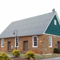
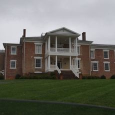
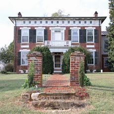
Bedford County, Administrative county in Piedmont region, Virginia, US.
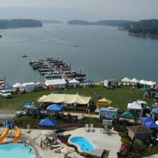
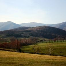
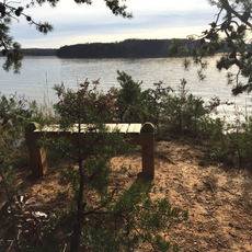
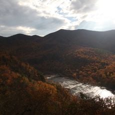
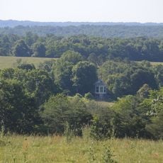
Bedford County stretches across the Piedmont region of Virginia with a mix of urban areas, farmland, and sections of the Blue Ridge Mountains. The area also includes forests and Smith Mountain Lake, which winds through the landscape.
The area was established as its own county in 1753 by the Virginia General Assembly and named after John Russell, the fourth Duke of Bedford. This creation came from the earlier Lunenburg County, reshaping the region's boundaries.
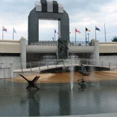
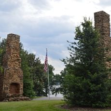
The National D-Day Memorial honors soldiers from this region who fought in Normandy during World War II. This place holds deep meaning for many residents in remembering that period.
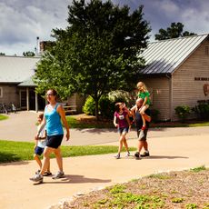
The area offers direct access to the Blue Ridge Parkway, Jefferson National Forest, and various water-based outdoor activities. It is best explored by car, as attractions are spread across a larger area.
The Town of Bedford merged back with the county in 2013 after being an independent city for many years, a rare administrative shift. This reunification fundamentally changed the governance structure of the entire region.
Location: Virginia
Inception: 1753
Capital city: Bedford
Shares border with: Rockbridge County, Amherst County, Lynchburg, Campbell County, Pittsylvania County, Franklin County, Roanoke County, Botetourt County
Website: https://bedfordcountyva.gov
GPS coordinates: 37.31000,-79.53000
Latest update: December 12, 2025 04:25
Smith Mountain Lake
29.9 km
Poplar Forest
23.9 km
National D-Day Memorial
2.4 km
Smith Mountain Dam
29.9 km
Virginia Episcopal School
34 km
Apple Orchard Mountain
23.1 km
Smith Mountain Lake State Park
24.4 km
Elks National Home
3.7 km
James River Face Wilderness
31.9 km
Virginia's Explore Park
29.6 km
Sandusky House
30.5 km
Smith Mountain Cooperative Wildlife Management Area
30.8 km
Gwin Dudley Home Site
32.5 km
Avenel
3.1 km
New London Academy, Forest
19.9 km
Bourassa State Forest
25.7 km
South River Friends Meetinghouse
30.7 km
Greyledge
30 km
Avoca
30.5 km
Big Island Dam
29.5 km
Thunder Ridge Wilderness
27.6 km
Three Otters
5.3 km
Speed the Plough
38.9 km
Twin Oaks Farm
16 km
Yogi Bear's Water Zone
34 km
Brook Hill Farm
15.5 km
Liberty Hall
19.2 km
Reusens Dam
34.9 kmVisited this place? Tap the stars to rate it and share your experience / photos with the community! Try now! You can cancel it anytime.
Discover hidden gems everywhere you go!
From secret cafés to breathtaking viewpoints, skip the crowded tourist spots and find places that match your style. Our app makes it easy with voice search, smart filtering, route optimization, and insider tips from travelers worldwide. Download now for the complete mobile experience.
A unique approach to discovering new places❞
— Le Figaro
All the places worth exploring❞
— France Info
A tailor-made excursion in just a few clicks❞
— 20 Minutes