Interstate 80 in Nevada, Interstate highway in Northern Nevada, United States.
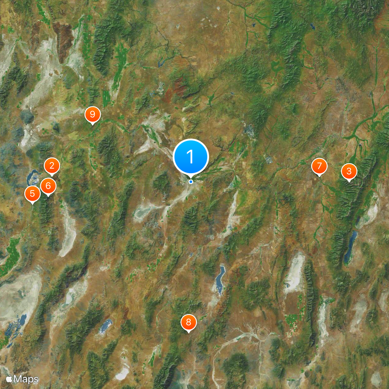
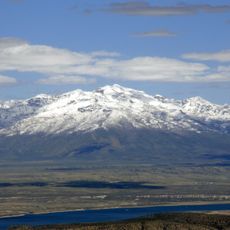
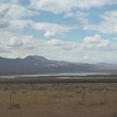
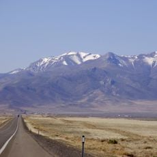
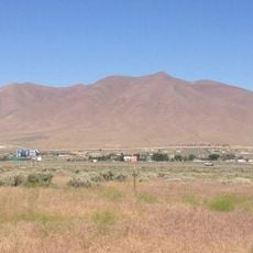
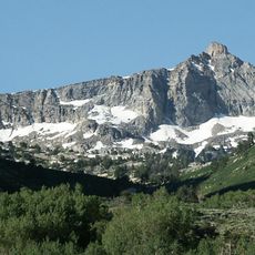
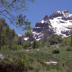
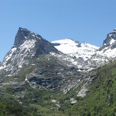
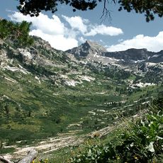
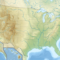
Interstate 80 runs 410 miles across Nevada, connecting the Reno area to West Wendover at the Utah border. The highway passes through valleys, mountain passes, and wide desert expanses while crossing nine counties from west to east.
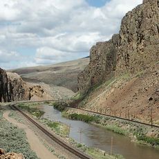
The route follows paths used by pioneers and the transcontinental railroad during westward expansion. It was designated as an Interstate in 1956 and replaced US Route 40 as the main transportation link across northern Nevada.
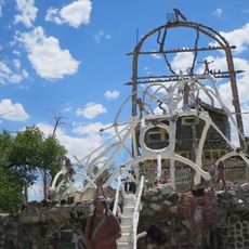
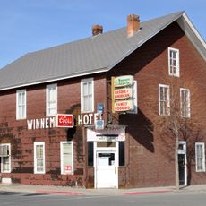
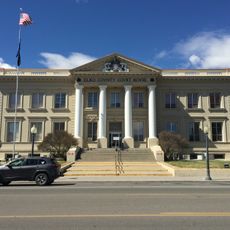
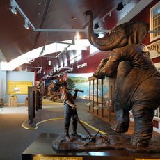
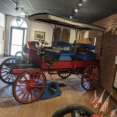
Towns along Interstate 80 regularly host celebrations of ranching heritage, mining traditions, and Native American cultures at local community centers.
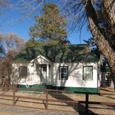
Gas stations, restaurants, and lodging appear regularly along the route, giving travelers places to stop and rest. Digital signs display current weather and road conditions to help drivers stay informed during their journey.
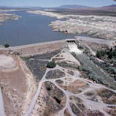
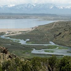
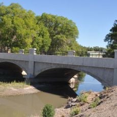
The highway runs alongside two major river systems, the Truckee and Humboldt rivers, which carve natural corridors through the desert landscape. These waterways originally guided early travelers and traders crossing the high desert region.
The community of curious travelers
AroundUs brings together thousands of curated places, local tips, and hidden gems, enriched daily by 60,000 contributors worldwide.