Enable Location

We need your location to show you interesting places around you

Discover nearby places

Find interesting locations and hidden gems around you

Precise directions

Get accurate directions and distances to places

Your location is never shared with other users. It's only used when you tap the location button.

Eureka

Log in to your account

Start exploring — it's free

Trusted by 63,523 travelers worldwide

Continue with Google
Continue with Apple
or

We will send you a code to connect

By continuing, you accept our Terms and Conditions and our Privacy Policy

Check your inbox

We've sent a pincode in your inbox. Please enter the code below.

Discussion Reviews 3 Photos
20.4k Popularity

Eureka, city located in St. Louis County, Missouri, United States

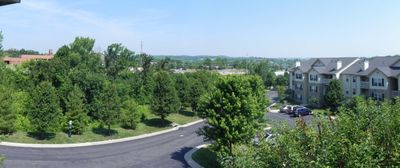
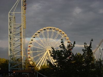
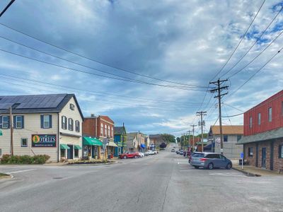
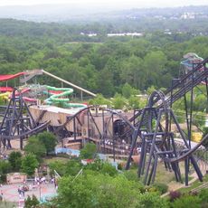
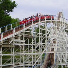
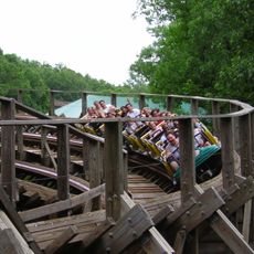
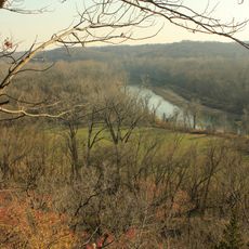
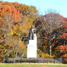
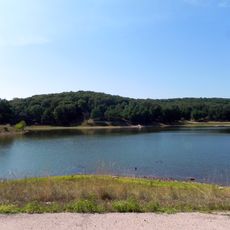
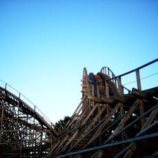
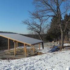
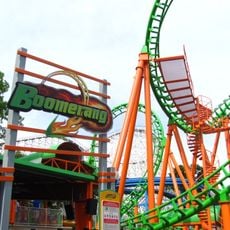
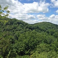
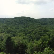
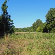
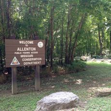
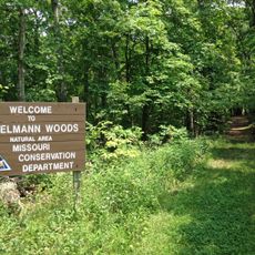
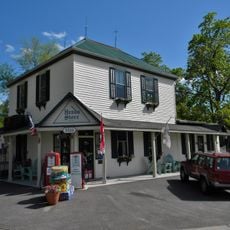
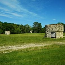
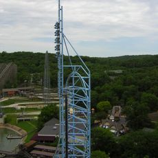
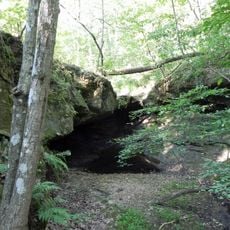
Eureka is a small city in St. Louis County in southwestern Missouri, about 40 minutes from Downtown St. Louis. Located in rolling terrain next to the Meramec River, it is organized around nine parks spanning 164 acres, the Six Flags amusement park, and traditional downtown shops.

The city was founded in 1858 when the Pacific Railroad came through and workers recognized the flat land as an ideal location. Early development was linked to rail traffic and led to the creation of Camp Wyman, one of the nation's oldest camps, which still operates today.

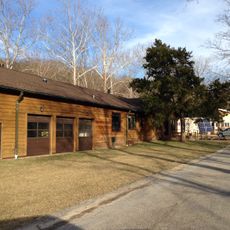
The name Eureka comes from the Greek word meaning "I have found it," said by railroad workers in 1858 when they discovered flat land here. The town keeps a small-town feel with tree-lined streets and a strong sense of community shown through local events like the yearly Eureka Days Festival.

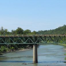
The city is easily reached via Route 109 and Interstate 44, with nearby Six Flags Park accessible from here. Visitors should expect possible flooding during heavy rain periods, especially in areas near the Meramec River.

The name came from the shout "Eureka" (I have found it) that railroad workers made in 1858 when they spotted the ideal flat ground for the rail line. This story of chance discovery is preserved in the city's name itself, reminding visitors of the crucial role rail building played in the town's founding.

The community of curious travelers

AroundUs brings together thousands of curated places, local tips, and hidden gems, enriched daily by 60,000 contributors worldwide.

Start exploring
Location
Elevation above the sea
139 m
GPS coordinates
38.50274,-90.64508
Latest update
February 16, 2026 21:41
Around this place
Six Flags St. Louis
United States of America

Six Flags St. Louis

2.8 km
Screamin' Eagle
United States of America

Screamin' Eagle

3.1 km
The Boss
United States of America

The Boss

3.3 km
Castlewood State Park
United States of America

Castlewood State Park

10.5 km
Route 66 State Park
United States of America

Route 66 State Park

4.8 km
Babler State Park
United States of America

Babler State Park

13.7 km
Lone Elk County Park
United States of America

Lone Elk County Park

9.6 km
American Thunder
United States of America

American Thunder

3 km
Don Robinson State Park
United States of America

Don Robinson State Park

14 km
Ninja
United States of America

Ninja

2.9 km
Boomerang
United States of America

Boomerang

3 km
Tyson Research Center
United States of America

Tyson Research Center

8.4 km
Rockwoods Reservation
United States of America

Rockwoods Reservation

7.3 km
Greensfelder County Park
United States of America

Greensfelder County Park

4.4 km
Manchester United Methodist Church
United States of America

Manchester United Methodist Church

15.6 km
Young Conservation Area
United States of America

Young Conservation Area

7.3 km
West Tyson County Park
United States of America

West Tyson County Park

5.6 km
Myron and Sonya Glassberg Family Conservation Area
United States of America

Myron and Sonya Glassberg Family Conservation Area

7.7 km
Rockwoods Range Conservation Area
United States of America

Rockwoods Range Conservation Area

4.5 km
Forest 44 Conservation Area
United States of America

Forest 44 Conservation Area

10 km
United States of America

Grand Ole Carousel

3 km
Allenton Access
United States of America

Allenton Access

3.4 km
Engelmann Woods Natural Area
United States of America

Engelmann Woods Natural Area

13.8 km
St. Albans General Store
United States of America

St. Albans General Store

14 km
St. Albans Farms Stone Barn
United States of America

St. Albans Farms Stone Barn

13.3 km
Mr. Freeze
United States of America

Mr. Freeze

3.1 km
LaBarque Creek Conservation Area
United States of America

LaBarque Creek Conservation Area

11 km
Dr. Edmund A. Babler Memorial State Park Historic District
United States of America

Dr. Edmund A. Babler Memorial State Park Historic District

13.8 km
Show the full map
Reviews
Share your experience

No review yet

Discussions
Start a discussion...

No discussion yet

« Eureka - city located in St. Louis County, Missouri, United States » is provided by Around Us (aroundus.com). Images and texts are derived from Wikimedia project under a Creative Commons license. You are allowed to copy, distribute, and modify copies of this page, under the conditions set by the license, as long as this note is clearly visible.

Discover hidden gems everywhere you go!

From secret cafés to breathtaking viewpoints, skip the crowded tourist spots and find places that match your style. Our app makes it easy with voice search, smart filtering, route optimization, and insider tips from travelers worldwide. Download now for the complete mobile experience.

Around Us App Screenshot

A unique approach to discovering new places

Le Figaro

All the places worth exploring

France Info

A tailor-made excursion in just a few clicks

20 Minutes

Around Us
Travel Guide & Maps
Download

Send to your phone

QR Code
1

Open the camera app on your mobile.

2

Point at the QR code with your camera. A notification will appear.

3

Tap the notification to open the link.