Painted Desert, Desert formation in Coconino County, United States.
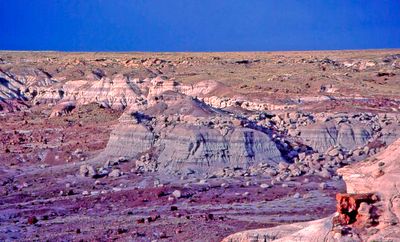
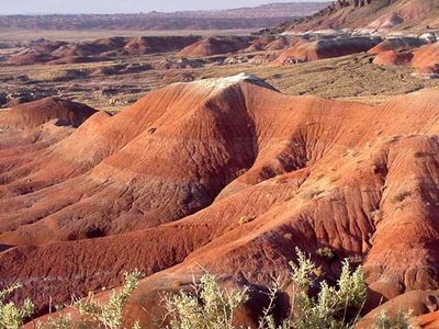
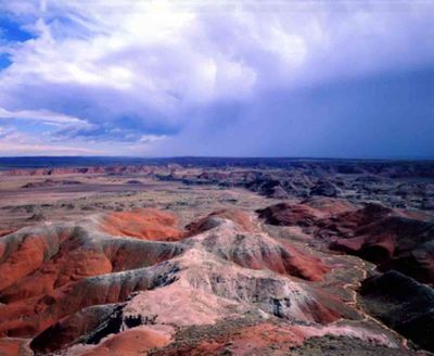
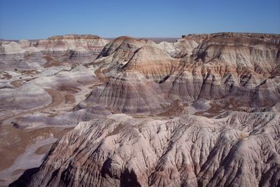
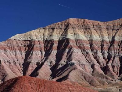
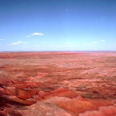
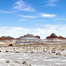
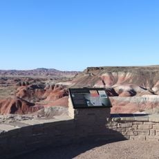
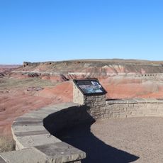
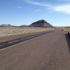
The Painted Desert is a desert formation in Coconino County, Arizona, stretching across broad expanses along the Little Colorado River. The sediment layers display shades from pale pink through orange to deep violet, depending on the minerals present and the angle of light.
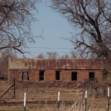
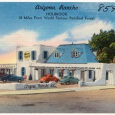
Spanish explorers gave the desert its name in the 16th century after observing the multicolored rock layers. In the 19th century, settlers and railroad pioneers passed through the area before the region was placed under protection.
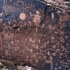
The name reflects the colorful rock bands that shift in intensity as sunlight changes throughout the day. Parts of the territory belong to the Navajo Nation, whose communities live and work in this region.
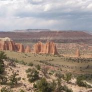
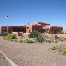
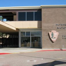
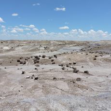
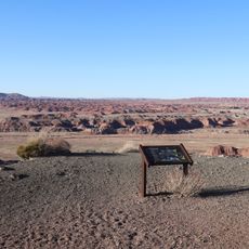
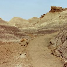
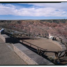
Access is usually through the Petrified Forest National Park, where marked trails and viewpoints are available. Summer heat can become intense, so visiting early morning or late afternoon is often more comfortable.
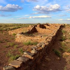
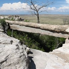
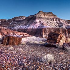
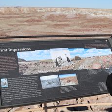
Geological formations contain fossilized wood and prehistoric plant materials dating back around 225 million years. These fossil remains come from a time when the region had a wetter climate and dense forests.
The community of curious travelers
AroundUs brings together thousands of curated places, local tips, and hidden gems, enriched daily by 60,000 contributors worldwide.