Chest opened
+${chestReward.xp} XP
Explorer
NOUVEAU ×${chestReward.collectible.quantity}
tapez pour fermer

See the monuments around you in AR Open chests in the app

Around Us is built for your phone — point your camera at the streets and discover the monuments and places around you in augmented reality. Around Us is built for your phone — chests unlock when you walk, explore and capture nearby places.

•

Enable Location

We need your location to show you interesting places around you

Discover nearby places

Find interesting locations and hidden gems around you

Precise directions

Get accurate directions and distances to places

Your location is never shared with other users. It's only used when you tap the location button.

Charlestown Bridge

Log in to your account

Start exploring — it's free

Trusted by 89,003 travelers worldwide

Continue with Google
Continue with Apple
or

We will send you a code to connect

By continuing, you accept our Terms and Conditions and our Privacy Policy

Check your inbox

We've sent a pincode in your inbox. Please enter the code below.

Discussion Reviews 2 Photos
9.3k Popularity

Charlestown Bridge, Road and railway bridge in Boston, United States

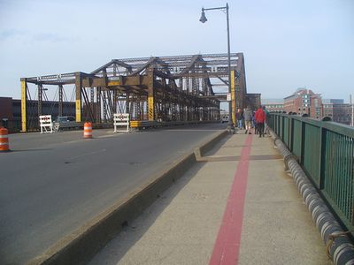
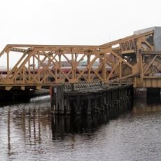
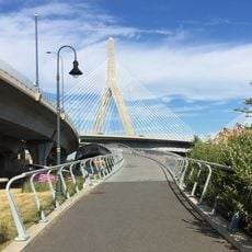
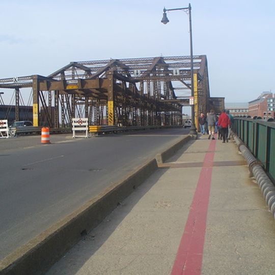
Charlestown Bridge is a road and railway bridge spanning the Charles River and connecting different sections of Boston. The structure uses steel supports to cross the river while allowing large vessels to pass underneath.

The bridge was designed and built between 1898 and 1900 to meet growing transportation needs between city sections. After completion, it quickly became a vital link for moving goods and people across the Charles River.

The bridge forms part of the Freedom Trail, the walking route that guides visitors through Boston's historical landmarks. It serves as a natural crossing point between neighborhoods and is used daily by pedestrians exploring the city's past.

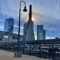
The bridge runs parallel to the Zakim Bridge and carries traffic on North Washington Street, making it easy to access on foot. Visitors can enjoy views of the river and explore both banks from this vantage point.

The bridge was originally built for rail transport but was later adapted to carry automobile traffic as well. This transformation reflects how transportation changed throughout Boston's urban development.

The community of curious travelers

AroundUs brings together thousands of curated places, local tips, and hidden gems, enriched daily by 60,000 contributors worldwide.
Start exploring
Location
Official opening
1900
Length
332 m
Longest Span
73.5 m
Operator
MassDOT
Phone
GPS coordinates
42.36887,-71.05990
Latest update
September 17, 2026 05:38
Around this place
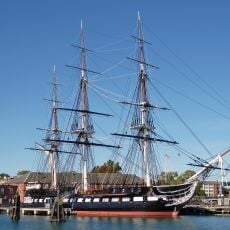
USS Constitution
United States of America

USS Constitution

0.3 mi
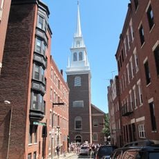
Old North Church
United States of America

Old North Church

0.3 mi
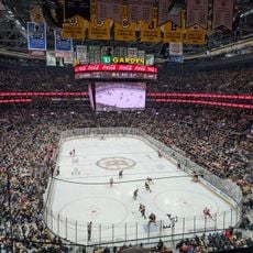
TD Garden
United States of America

TD Garden

0.2 mi
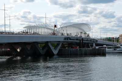
Leonard P. Zakim Bunker Hill Memorial Bridge
United States of America

Leonard P. Zakim Bunker Hill Memorial Bridge

0.2 mi
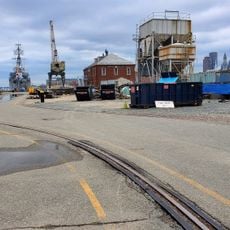
Boston Navy Yard
United States of America

Boston Navy Yard

0.3 mi
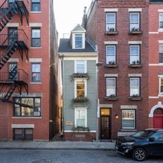
Skinny House
United States of America

Skinny House

0.2 mi
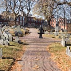
Copp's Hill Burying Ground
United States of America

Copp's Hill Burying Ground

0.2 mi
Avalon North Station
United States of America

Avalon North Station

0.3 mi
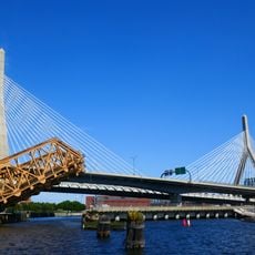
Charlestown High Bridge
United States of America

Charlestown High Bridge

0.1 mi
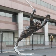
Statue of Bobby Orr
United States of America

Statue of Bobby Orr

0.2 mi
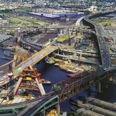
Leverett Circle Connector Bridge
United States of America

Leverett Circle Connector Bridge

0.2 mi
Thomas P. O'Neill Jr. Federal Building
United States of America

Thomas P. O'Neill Jr. Federal Building

0.3 mi
Bulfinch Triangle Historic District
United States of America

Bulfinch Triangle Historic District

0.4 mi
Paul Revere Park
United States of America

Paul Revere Park

0.2 mi
Draw One
United States of America

Draw One

0.3 mi
John Harvard Mall
United States of America

John Harvard Mall

0.3 mi
World War II Memorial
United States of America

World War II Memorial

0.2 mi
North Bank Bridge
United States of America

North Bank Bridge

0.3 mi
Ozias Goodwin House
United States of America

Ozias Goodwin House

0.3 mi
Town Hill District
United States of America

Town Hill District

0.3 mi
Building at 138-142 Portland Street
United States of America

Building at 138-142 Portland Street

0.3 mi
Five Beacons for the Lost Half Mile
United States of America

Five Beacons for the Lost Half Mile

0.2 mi
Hoosac Stores
United States of America

Hoosac Stores

0.3 mi
The Charlestown Bells
United States of America

The Charlestown Bells

510 ft
Roughan Hall
United States of America

Roughan Hall

0.3 mi
City Square Park
United States of America

City Square Park

0.2 mi
United States of America

Capt. Jackson’s Historic Chocolate Shop

0.3 mi
United States of America

Boston Bruins 100th anniversary bear statue

0.2 mi
Show the full map
Reviews
Share your experience

No review yet

Discussions
Start a discussion...

No discussion yet

« Charlestown Bridge - Road and railway bridge in Boston, United States » is provided by Around Us (aroundus.com). Images and texts are derived from Wikimedia project under a Creative Commons license. You are allowed to copy, distribute, and modify copies of this page, under the conditions set by the license, as long as this note is clearly visible.

Discover hidden gems everywhere you go!

From secret cafés to breathtaking viewpoints, skip the crowded tourist spots and find places that match your style. Our app makes it easy with voice search, smart filtering, route optimization, and insider tips from travelers worldwide. Download now for the complete mobile experience.
Around Us App Screenshot
❝

A unique approach to discovering new places❞

— Le Figaro

❝

All the places worth exploring❞

— France Info

❝

A tailor-made excursion in just a few clicks❞

— 20 Minutes

Around Us
Travel Guide & Maps
Download

Send to your phone

QR Code
1

Open the camera app on your mobile.

2

Point at the QR code with your camera. A notification will appear.

3

Tap the notification to open the link.