Red Hook, Waterfront neighborhood in Brooklyn, United States
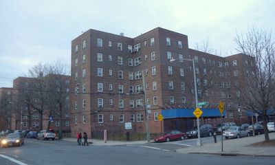
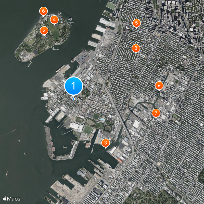
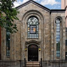
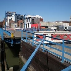
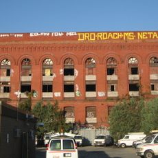
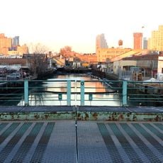
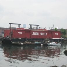
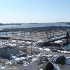
This district occupies a peninsula that juts into the Upper New York Bay, marked by industrial structures, cobblestone lanes, and unobstructed water views toward the Statue of Liberty. The area retains its maritime character through old piers and waterfront access, while some streets are lined with restored red-brick warehouses.
Dutch settlers named the area Roode Hoek in 1636 because of the red clay soil and the geographic point extending into the bay. During the American Revolution, Fort Defiance was built here to defend New York Harbor with strategically positioned cannon batteries against British naval forces.
The name Roode Hoek, referring to the red clay soil, comes from the time of Dutch settlers and is still used today in its anglicized form. Many of the old warehouses have been converted into artist studios and small workshops where local craftspeople work and occasionally open their doors to visitors.
The ferry from Van Brunt Street connects the district to Manhattan and offers a relaxed alternative to other transport options. The B61 bus runs toward downtown Brooklyn and is especially useful when exploring the farther reaches of the peninsula.
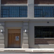
Pioneer Works uses a converted industrial warehouse as a center for artistic exploration, hosting regular exhibitions, performances, and educational programs. Visitors can often witness artists working on new projects in real time, as the building functions simultaneously as workshop and exhibition space.
The community of curious travelers
AroundUs brings together thousands of curated places, local tips, and hidden gems, enriched daily by 92,541 contributors worldwide.