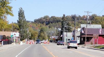
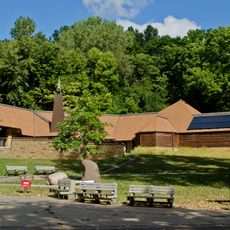
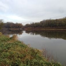
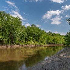
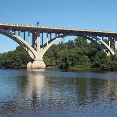
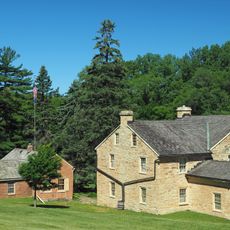
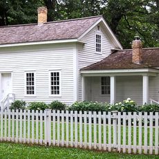
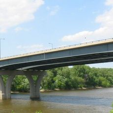
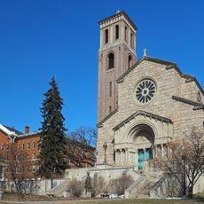
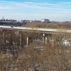
Mendota, city in Dakota County, Minnesota, United States
Location: Dakota County
Elevation above the sea: 234 m
Website: http://www.cityofmendota.org/
Shares border with: 
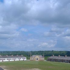
Mendota Heights, Saint Paul, Fort Snelling, Lilydale
Website: http://cityofmendota.org
GPS coordinates: 44.88722,-93.16444
Latest update: March 8, 2025 01:46
Fort Snelling
1.4 km
Minnehaha Park
5 km
Fort Snelling National Cemetery
4.6 km
Lock and Dam No. 1
4.3 km
Fort Snelling State Park
1.1 km
Minnesota Valley National Wildlife Refuge
5 km
Pike Island
560 m
Hiawatha and Minnehaha
4.9 km
Mendota Bridge
1 km
Intercity Bridge
4.5 km
Sibley Historic Site
128 m
John Harrington Stevens House
4.6 km
Minnesota Veterans Home
4.2 km
Hidden Falls
3.3 km
Minnehaha Falls Lower Glen Trail
4.6 km
Oheyawahi-Pilot Knob
794 m
Highland Park Tower
3.4 km
Crosby Farm
2.9 km
Lexington Bridge
2.8 km
Derham Hall and Our Lady of Victory Chapel, College of Saint Catherine
4.5 km
Fort Road Bridge
1.6 km
Watergate Marina
1.2 km
William and Catherine Davern Farm House
2.2 km
Historic Fort Snelling
1.4 km
Minnehaha Falls
4.7 km
Longfellow House
5.1 km
Mann Highland I & II
3.9 km
Mendota Historic District
178 mReviews
Visited this place? Tap the stars to rate it and share your experience / photos with the community! Try now! You can cancel it anytime.
Discover hidden gems everywhere you go!
From secret cafés to breathtaking viewpoints, skip the crowded tourist spots and find places that match your style. Our app makes it easy with voice search, smart filtering, route optimization, and insider tips from travelers worldwide. Download now for the complete mobile experience.
A unique approach to discovering new places❞
— Le Figaro
All the places worth exploring❞
— France Info
A tailor-made excursion in just a few clicks❞
— 20 Minutes