Dakota County

Log in to your account

AroundUs is a community-driven map of interesting places, built by curious explorers like you. It grows with every review, story, and photo you share.
Connect to save your favorite spots, contribute locations, and create personalized routes.
Continue with Google
Continue with Apple
Continue with X
Continue with Facebook
Continue with email
By continuing, you accept our Terms and Conditions and our Privacy Policy
Create an account
Add to collection
Map
Suggest a change
Share

Dakota County, Administrative division in Twin Cities metropolitan area, Minnesota, US

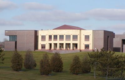
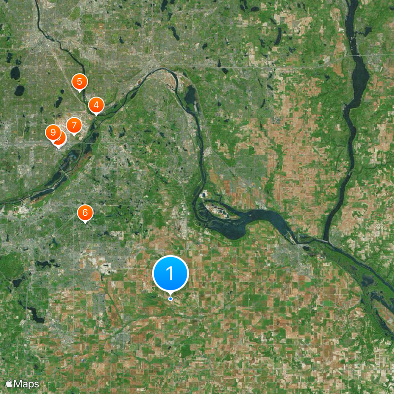
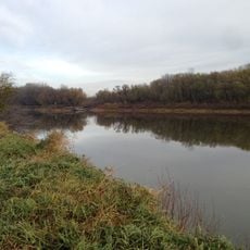
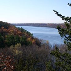
Dakota County is an administrative division in the Twin Cities metropolitan area and stretches across urban centers, residential neighborhoods, farmland, and river valleys along the Mississippi. The county encompasses several major cities connected by highways and transit routes that link to Minneapolis.

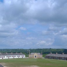
The area was established in 1849 following the region's prior occupation by the Mdewakanton Dakota people who lived along the Minnesota River. This early history shaped the development and naming of the later county.

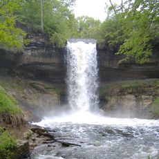
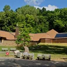
The Minnesota Valley National Wildlife Refuge within Dakota County maintains natural habitats while providing educational programs about local flora, fauna, and indigenous heritage.

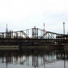
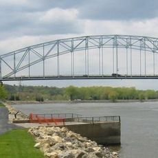
The region is well-served by highways and local transit systems that connect different city areas and neighboring communities. Visitors can explore the various districts by car or using available transportation options.

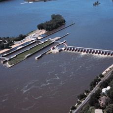
South Saint Paul grew into a global center for stockyards and meat processing during the early 1900s. This industry shaped the city's economy and regional commerce significantly.

Location: Minnesota

Inception: October 27, 1849

Capital city: Hastings

Shares border with: Ramsey County, Rice County, Washington County, Pierce County, Goodhue County, Scott County, Hennepin County

Website: http://dakotacounty.us

GPS coordinates: 44.68000,-93.06000

Latest update: December 14, 2025 21:22

Photos
Around this place
Nickelodeon Universe
United States of America

Nickelodeon Universe

24.2 km
Metropolitan Stadium
United States of America

Metropolitan Stadium

24.2 km
Fort Snelling
United States of America

Fort Snelling

25.5 km
Minnehaha Park
United States of America

Minnehaha Park

29.1 km
Minnesota Zoo
United States of America

Minnesota Zoo

14.8 km
Fort Snelling National Cemetery
United States of America

Fort Snelling National Cemetery

24.5 km
SpongeBob SquarePants Rock Bottom Plunge
United States of America

SpongeBob SquarePants Rock Bottom Plunge

24.3 km
Water Park of America
United States of America

Water Park of America

25.2 km
SEA LIFE Minnesota Aquarium
United States of America

SEA LIFE Minnesota Aquarium

24.2 km
Mississippi National River and Recreation Area
United States of America

Mississippi National River and Recreation Area

21.8 km
Log Chute
United States of America

Log Chute

24.2 km
Sea Life at Mall of America
United States of America

Sea Life at Mall of America

24.2 km
Lebanon Hills Regional Park
United States of America

Lebanon Hills Regional Park

13.7 km
Lock and Dam No. 1
United States of America

Lock and Dam No. 1

28.5 km
Fort Snelling State Park
United States of America

Fort Snelling State Park

24.7 km
Pepsi Orange Streak
United States of America

Pepsi Orange Streak

24.3 km
Minnesota Valley National Wildlife Refuge
United States of America

Minnesota Valley National Wildlife Refuge

23.6 km
Afton State Park
United States of America

Afton State Park

29.8 km
Pike Island
United States of America

Pike Island

25 km
Fairly Odd Coaster
United States of America

Fairly Odd Coaster

24.2 km
Lock and Dam No. 2
United States of America

Lock and Dam No. 2

17.5 km
Hiawatha and Minnehaha
United States of America

Hiawatha and Minnehaha

28.8 km
United States of America

Dar Al-Farooq Islamic Center

25.3 km
Mendota Bridge
United States of America

Mendota Bridge

24.9 km
Washburn Park Water Tower
United States of America

Washburn Park Water Tower

31.2 km
Kinnickinnic State Park
United States of America

Kinnickinnic State Park

29.6 km
Rock Island Swing Bridge
United States of America

Rock Island Swing Bridge

19.7 km
Hastings High Bridge
United States of America

Hastings High Bridge

18 km
Show the full map
Reviews

Visited this place? Tap the stars to rate it and share your experience / photos with the community! Try now! You can cancel it anytime.

« Dakota County - Administrative division in Twin Cities metropolitan area, Minnesota, US » is provided by Around Us (aroundus.com). Images and texts are derived from Wikimedia project under a Creative Commons license. You are allowed to copy, distribute, and modify copies of this page, under the conditions set by the license, as long as this note is clearly visible.

Discover hidden gems everywhere you go!

From secret cafés to breathtaking viewpoints, skip the crowded tourist spots and find places that match your style. Our app makes it easy with voice search, smart filtering, route optimization, and insider tips from travelers worldwide. Download now for the complete mobile experience.

Around Us App Screenshot

A unique approach to discovering new places

Le Figaro

All the places worth exploring

France Info

A tailor-made excursion in just a few clicks

20 Minutes