Rangeley, town in Maine, United States
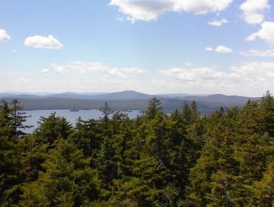
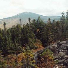
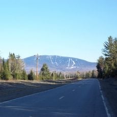
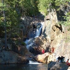
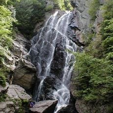
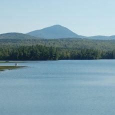
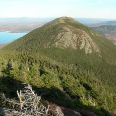
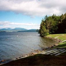
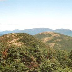
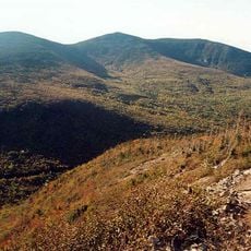
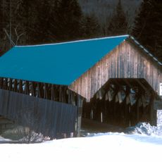
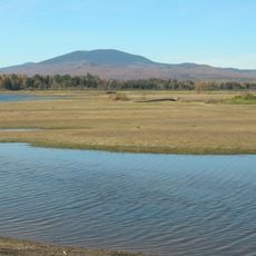
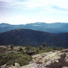
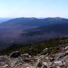
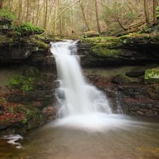
Rangeley is a small town in Franklin County, Maine, surrounded by six lakes and mountains in a forested region. The area features quiet waters, dense forests, and scenic views that shift with each season throughout the year.
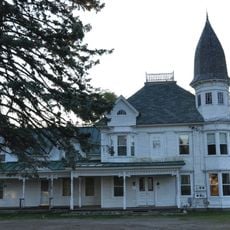
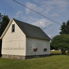
Rangeley was founded in 1796 when the land belonged to James Rangeley's father, but James arrived in 1825 and built a large house that marked the beginning of the settlement. The town was officially incorporated in 1855 and gained railroad connections after 1880 that linked it to other parts of New England.
The town takes its name from James Rangeley, who arrived in 1825 and shaped the early settlement. His legacy remains visible in how locals value outdoor traditions and the pioneer spirit that still defines life here.
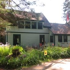
The town is easily reached by car from Portland or Bangor, with roads winding through forests and past lakes. The area offers lodging in inns, cabins, and campgrounds, plus local restaurants serving American fare and seafood.
The Hoar family was the first to move to Rangeley, traveling on foot in winter over 25 miles with all their belongings on sleds pulled by two moose. This unusual arrival shows the determination of early settlers in this isolated forest region.
The community of curious travelers
AroundUs brings together thousands of curated places, local tips, and hidden gems, enriched daily by 60,000 contributors worldwide.