Young Harris, human settlement in Towns County, Georgia, United States
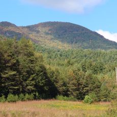
Young Harris is a small town in the mountains of northern Georgia, known for its quiet streets, abundant green spaces, and buildings from different time periods. The college located here brings students and staff together and structures part of daily life with academic and cultural events.
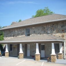
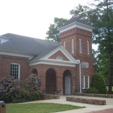
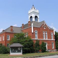
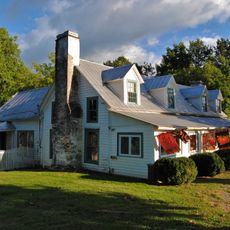
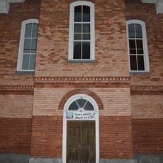
The town was founded more than a hundred years ago as a small settlement and grew slowly over decades. Many original homes and buildings have been preserved and bear witness to that early founding period through to today.
Young Harris carries its name from an early settler and reflects the identity of a tight-knit community. Residents greet each other on the streets, use historic buildings for local gatherings, and celebrate shared festivals with music and food that reinforce their sense of belonging.
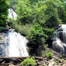
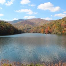
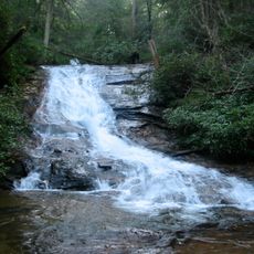
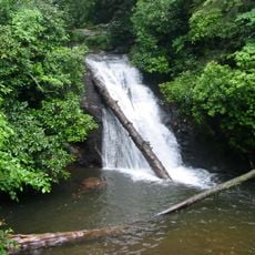
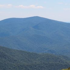
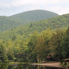
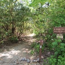
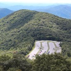
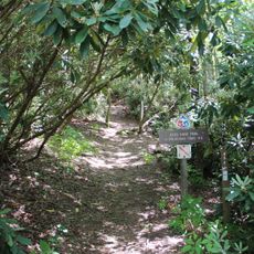
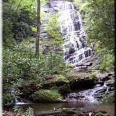
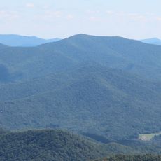
Most places are within walking distance or a short drive, making navigation easy. Visitors should rent a car or use local taxis to explore the surrounding mountains, lakes, and hiking trails.
The local economy is built mainly on education, agriculture, and small businesses, with fresh produce at local markets reflecting the farming traditions of the area. This blend of academic life and rural tradition creates an unusual rhythm that shapes daily life.
The community of curious travelers
AroundUs brings together thousands of curated places, local tips, and hidden gems, enriched daily by 60,000 contributors worldwide.