Enable Location

We need your location to show you interesting places around you

Discover nearby places

Find interesting locations and hidden gems around you

Precise directions

Get accurate directions and distances to places

Your location is never shared with other users. It's only used when you tap the location button.

Delaware Water Gap

Log in to your account

Start exploring — it's free

Trusted by 62,061 travelers worldwide

Continue with Google
Continue with Apple
or

We will send you a code to connect

By continuing, you accept our Terms and Conditions and our Privacy Policy

Check your inbox

We've sent a pincode in your inbox. Please enter the code below.

Delaware Water Gap

Delaware Water Gap, Natural water gap in Appalachian Mountains, New Jersey and Pennsylvania, United States

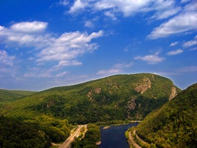
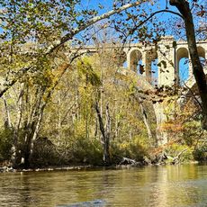
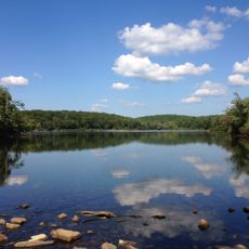
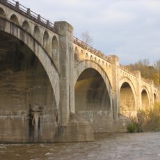
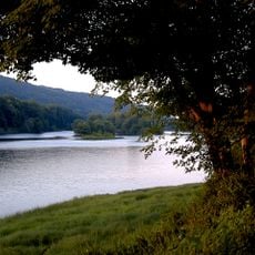
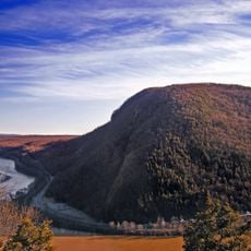
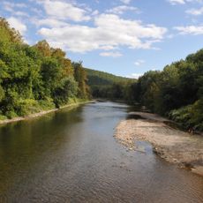
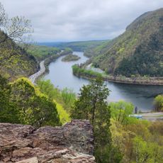
Delaware Water Gap is a natural passage through the Appalachian Mountains on the border of New Jersey and Pennsylvania, where the Delaware River carved a narrow gorge between Mount Tammany on one side and Mount Minsi on the other. The water flows between steep rock walls covered with dense forest that turns bright colors in autumn.

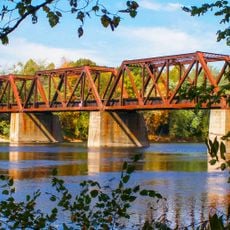
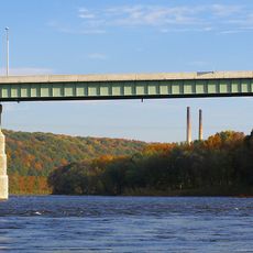
The river began cutting through mountain layers around 450 million years ago, carving softer rock more quickly and shaping the present gorge. In the 19th century a railroad line was built here connecting New York to the Pocono Mountains, making the place known as a passage for travelers.

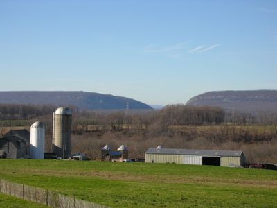
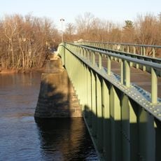
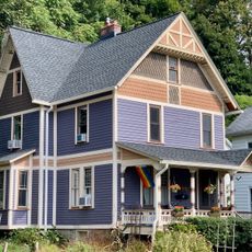
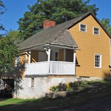
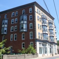
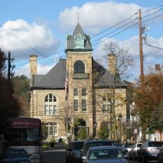
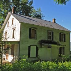
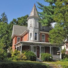
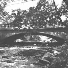
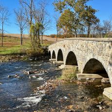
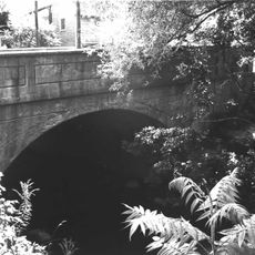
Hikers often follow trails on both sides and experience the contrast between forested slopes and the wide river that has served as boundary and route for centuries. Small towns near the park preserve old wooden houses and stone bridges that recall earlier settlements and today blend into the landscape.

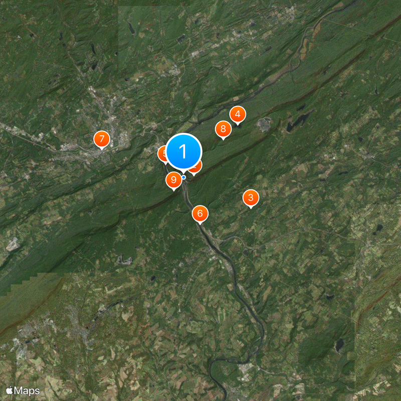
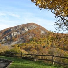
Several viewpoints along roads and trails offer open views of the gorge and mountain slopes, with autumn being especially popular for leaf color. Short walks lead from parking areas to elevated spots, while longer climbs to the summits include steeper sections and require sturdy footwear.

Geologists study a puzzle here because the river flows through the mountains instead of around them, suggesting the riverbed is older than the mountains themselves. Wind currents in the narrow gorge create special climate zones where plant species thrive that normally grow farther north or south.

The community of curious travelers

AroundUs brings together thousands of curated places, local tips, and hidden gems, enriched daily by 60,000 contributors worldwide.

Start exploring
Location
Location
GPS coordinates
40.96775,-75.11992
Latest update
December 13, 2025 18:06
Around this place
Mount Tammany
United States of America

Mount Tammany

783 m
Paulinskill Viaduct
United States of America

Paulinskill Viaduct

5.4 km
Sunfish Pond
United States of America

Sunfish Pond

5.6 km
Delaware Water Gap Toll Bridge
United States of America

Delaware Water Gap Toll Bridge

1.7 km
Delaware River Viaduct
United States of America

Delaware River Viaduct

3.6 km
Sherman Theater
United States of America

Sherman Theater

6.4 km
Worthington State Forest
United States of America

Worthington State Forest

4 km
Mount Minsi
United States of America

Mount Minsi

1.2 km
Pahaquarry Copper Mine
United States of America

Pahaquarry Copper Mine

11 km
Darlington's Bridge at Delaware Station
United States of America

Darlington's Bridge at Delaware Station

8.5 km
Portland–Columbia Pedestrian Bridge
United States of America

Portland–Columbia Pedestrian Bridge

5.3 km
Portland–Columbia Toll Bridge
United States of America

Portland–Columbia Toll Bridge

5.7 km
Columcille Megalith Park
United States of America

Columcille Megalith Park

8.2 km
Stroud Mansion
United States of America

Stroud Mansion

6.9 km
Blairstown Historic District
United States of America

Blairstown Historic District

13.6 km
Quiet Valley Farm
United States of America

Quiet Valley Farm

11.1 km
Zion Lutheran Church
United States of America

Zion Lutheran Church

10.6 km
Worthington Hall
United States of America

Worthington Hall

5.1 km
Shawnee-Minisink Site
United States of America

Shawnee-Minisink Site

2.8 km
Real Estate Building
United States of America

Real Estate Building

13.3 km
Monroe County Courthouse
United States of America

Monroe County Courthouse

6.7 km
John Michael Farm
United States of America

John Michael Farm

9.2 km
Academy Hill Historic District
United States of America

Academy Hill Historic District

6.7 km
Bridge in Bangor Borough
United States of America

Bridge in Bangor Borough

13.2 km
Warrington Stone Bridge
United States of America

Warrington Stone Bridge

5.4 km
County Bridge No. 36
United States of America

County Bridge No. 36

5.5 km
Fairview Schoolhouse
United States of America

Fairview Schoolhouse

10.3 km
Mount Tammany Lookout
United States of America

Mount Tammany Lookout

569 m
Show the full map
« Delaware Water Gap - Natural water gap in Appalachian Mountains, New Jersey and Pennsylvania, United States » is provided by Around Us (aroundus.com). Images and texts are derived from Wikimedia project under a Creative Commons license. You are allowed to copy, distribute, and modify copies of this page, under the conditions set by the license, as long as this note is clearly visible.

Discover hidden gems everywhere you go!

From secret cafés to breathtaking viewpoints, skip the crowded tourist spots and find places that match your style. Our app makes it easy with voice search, smart filtering, route optimization, and insider tips from travelers worldwide. Download now for the complete mobile experience.

Around Us App Screenshot

A unique approach to discovering new places

Le Figaro

All the places worth exploring

France Info

A tailor-made excursion in just a few clicks

20 Minutes

Around Us
Travel Guide & Maps
Download

Send to your phone

QR Code
1

Open the camera app on your mobile.

2

Point at the QR code with your camera. A notification will appear.

3

Tap the notification to open the link.