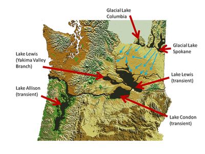
Glacial Lake Columbia, Glacial lake in central Washington, United States.
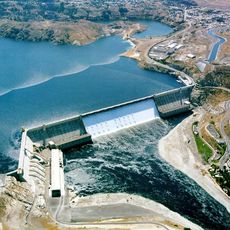
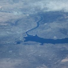
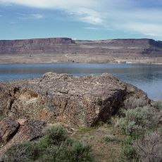
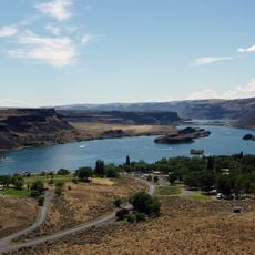
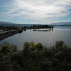
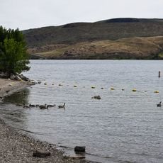
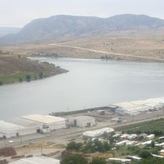
Glacial Lake Columbia was a massive body of water that covered the landscape of central Washington during the last ice age. Today you can see its ancient shorelines marked above Lake Roosevelt, showing where the water once stood.
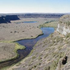
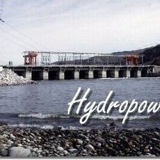
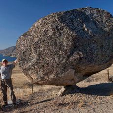
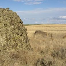
The lake formed behind a glacier lobe during the last ice age and was repeatedly shaped by massive floods from melting glacial waters. These powerful floods cut through bedrock and reshaped the land, leaving behind the visible clues we see today.
The lake's sedimentary deposits contain annual varves that researchers study to understand the timing and frequency of prehistoric flooding events.
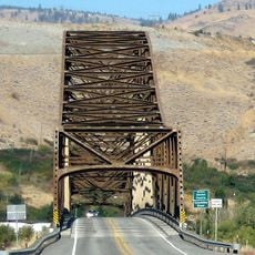
The ancient shorelines are easiest to spot from elevated viewpoints that look down at Lake Roosevelt and the surrounding terrain. Early morning or late afternoon light helps reveal the subtle ridges and terraces left behind by the water's edge.
The lake bottom contains layered sediments that tell the story of multiple major flooding events that swept through the area. Researchers can read these layers like pages in a book to understand when and how often the landscape was reshaped by water.
The community of curious travelers
AroundUs brings together thousands of curated places, local tips, and hidden gems, enriched daily by 60,000 contributors worldwide.