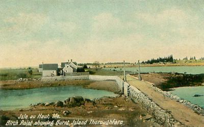
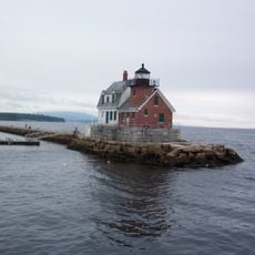
Isle au Haut, Remote island in Penobscot Bay, Maine, United States.
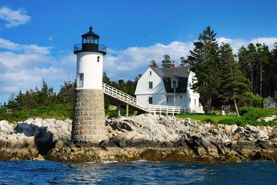
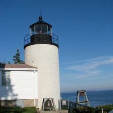
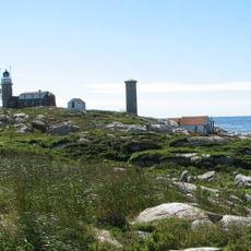
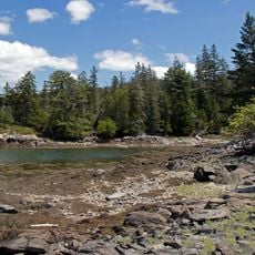
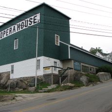
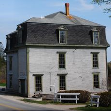
Isle au Haut is a small inhabited island in a bay off the Maine coast, characterized by rolling terrain and rocky shorelines. The land is mostly forested, with scattered homes and buildings, and narrow roads that wind through the center of the island.
A French explorer named the island during an early 1600s expedition, choosing a name that referred to its elevated position above the water. Fishermen gradually settled there over the following centuries, building their lives around the sea.
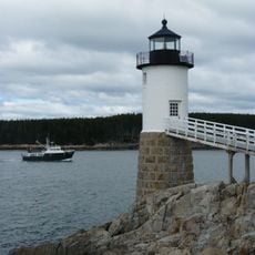
The residents here depend on lobstering as their main livelihood, which shapes how they spend their days and interact with the water. This work is woven into the fabric of daily island life and connects everyone to the sea.
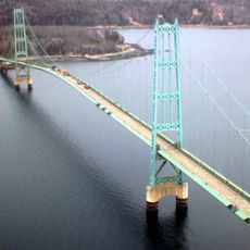
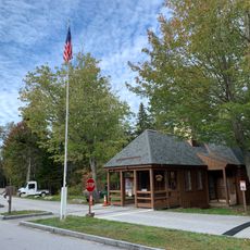
Getting to the island requires taking a ferry from the nearby town, with service available throughout the year to some areas and seasonally to others. Bring what you need with you, as shops and services on the island are very limited.
A ridge of higher ground runs down the middle of the island from north to south, offering views across the bay and surrounding waters. Walking trails lead to these elevated points where visitors can see far across the landscape.
The community of curious travelers
AroundUs brings together thousands of curated places, local tips, and hidden gems, enriched daily by 60,000 contributors worldwide.