Enable Location

We need your location to show you interesting places around you

Discover nearby places

Find interesting locations and hidden gems around you

Precise directions

Get accurate directions and distances to places

Your location is never shared with other users. It's only used when you tap the location button.

Sparrows Point

Log in to your account

Start exploring — it's free

Trusted by 66,035 travelers worldwide

Continue with Google
Continue with Apple
or

We will send you a code to connect

By continuing, you accept our Terms and Conditions and our Privacy Policy

Check your inbox

We've sent a pincode in your inbox. Please enter the code below.

Discussion Reviews 1 Photos
72.4k Popularity

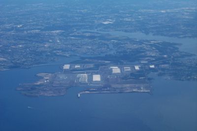
Sparrows Point, Industrial community in Baltimore County, United States

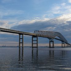
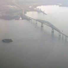
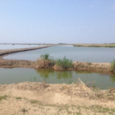
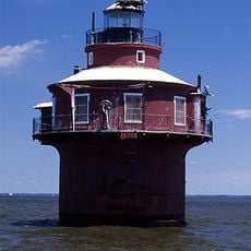
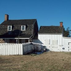
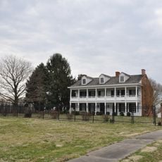
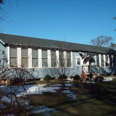
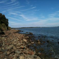
Sparrows Point is a settlement in Baltimore County that spreads along the shore of the Patapsco River, combining residential streets with large industrial plots. The landscape features waterfront views, warehouses, and wide roads that connect to the nearby Baltimore Harbor.

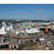
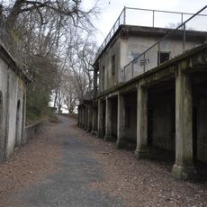
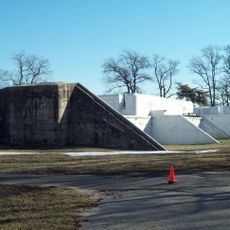
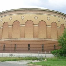
The Pennsylvania Steel Company opened the first mill on the site in 1887, launching a large industrial expansion. For over a century, the facility shaped the life of the region and employed tens of thousands of workers before closing in the 2010s.

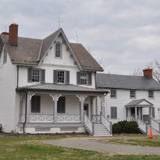
Local diners and gathering places preserve memories of the working families who shaped the neighborhood during its industrial years. Residents still exchange stories about shifts at the mill, and the sense of shared work history connects neighbors across different ages.

The community sits near Interstate 695, making it easy to reach by car for those exploring the Baltimore Harbor area. Restaurants such as Robbies Bar and Grill offer places to rest if you drive through or plan a short stop in the neighborhood.

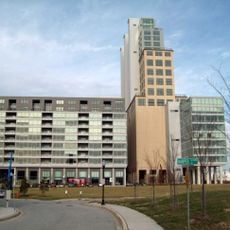
The mill once supplied steel for the construction of the Empire State Building and employed over 30,000 workers at its height. After the closure, the site began transforming into a mixed development area that includes housing and new commercial spaces.

The community of curious travelers

AroundUs brings together thousands of curated places, local tips, and hidden gems, enriched daily by 60,000 contributors worldwide.

Start exploring
Location
GPS coordinates
39.21920,-76.47610
Latest update
December 13, 2025 17:30
Around this place
Fort McHenry
United States of America

Fort McHenry

10.2 km
NS Savannah
United States of America

NS Savannah

8.1 km
Francis Scott Key Bridge
United States of America

Francis Scott Key Bridge

4.5 km
SS John W. Brown
United States of America

SS John W. Brown

9.7 km
Fort Carroll
United States of America

Fort Carroll

3.8 km
National Brewing Company
United States of America

National Brewing Company

10.3 km
United States Coast Guard Yard
United States of America

United States Coast Guard Yard

8.2 km
Fort Howard
United States of America

Fort Howard

3.6 km
Fort Smallwood Park
United States of America

Fort Smallwood Park

6.1 km
Silo Point
United States of America

Silo Point

11.4 km
Hart-Miller Island State Park, Maryland
United States of America

Hart-Miller Island State Park, Maryland

9.3 km
Craighill Channel Lower Range Front Light
United States of America

Craighill Channel Lower Range Front Light

7.8 km
Orpheus with the Awkward Foot
United States of America

Orpheus with the Awkward Foot

10.4 km
Fort Carroll Light
United States of America

Fort Carroll Light

3.8 km
Todd Farmhouse
United States of America

Todd Farmhouse

3.3 km
Hancock's Resolution
United States of America

Hancock's Resolution

9.7 km
Craighill Channel Lower Range Rear Light
United States of America

Craighill Channel Lower Range Rear Light

7.1 km
Ballestone Mansion
United States of America

Ballestone Mansion

6.2 km
Lazaretto Point Light
United States of America

Lazaretto Point Light

9.5 km
Bodkin Island Light
United States of America

Bodkin Island Light

10.4 km
Christ United Church of Christ
United States of America

Christ United Church of Christ

11.7 km
Craighill Channel Upper Range Front Light
United States of America

Craighill Channel Upper Range Front Light

3.4 km
Craighill Channel Upper Range Rear Light
United States of America

Craighill Channel Upper Range Rear Light

1.2 km
Marley Neck Rosenwald School
United States of America

Marley Neck Rosenwald School

9.8 km
North Point State Park
United States of America

North Point State Park

3.7 km
Statue of John O'Donnell
United States of America

Statue of John O'Donnell

10.9 km
Patterson Park-Highlandtown Historic District
United States of America

Patterson Park-Highlandtown Historic District

11.6 km
Curtis Bay Water Tank
United States of America

Curtis Bay Water Tank

10.1 km
Show the full map
Reviews
Share your experience

No review yet

Discussions
Start a discussion...

No discussion yet

« Sparrows Point - Industrial community in Baltimore County, United States » is provided by Around Us (aroundus.com). Images and texts are derived from Wikimedia project under a Creative Commons license. You are allowed to copy, distribute, and modify copies of this page, under the conditions set by the license, as long as this note is clearly visible.

Discover hidden gems everywhere you go!

From secret cafés to breathtaking viewpoints, skip the crowded tourist spots and find places that match your style. Our app makes it easy with voice search, smart filtering, route optimization, and insider tips from travelers worldwide. Download now for the complete mobile experience.

Around Us App Screenshot

A unique approach to discovering new places

Le Figaro

All the places worth exploring

France Info

A tailor-made excursion in just a few clicks

20 Minutes

Around Us
Travel Guide & Maps
Download

Send to your phone

QR Code
1

Open the camera app on your mobile.

2

Point at the QR code with your camera. A notification will appear.

3

Tap the notification to open the link.