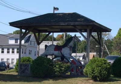
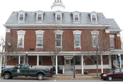
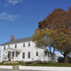
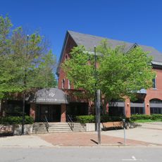
Winchendon, town in Massachusetts
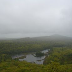
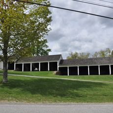
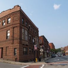
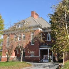
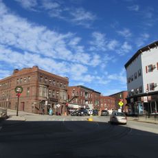
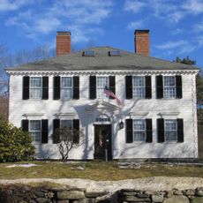
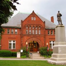
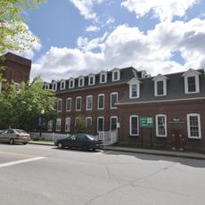
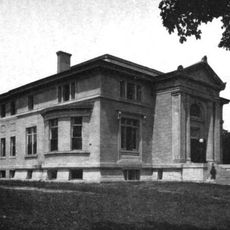
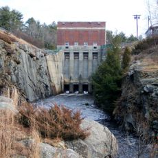
Winchendon is a New England town in Worcester County, Massachusetts. The landscape combines woodlands and rural areas with scattered residential neighborhoods and remnants of industrial buildings that remain part of the local scenery.
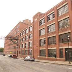
The town was founded in the 18th century and grew during the 19th century as a manufacturing center, particularly for wooden goods and small factories. This industrial past shaped the community's development for generations.
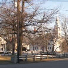
The town is crossed by country roads that connect various neighborhoods, though sidewalks are limited in some areas. A car is recommended to explore the town and its surrounding natural areas.
The community of curious travelers
AroundUs brings together thousands of curated places, local tips, and hidden gems, enriched daily by 60,000 contributors worldwide.