Border Route Trail, long-distance hiking trail in the United States
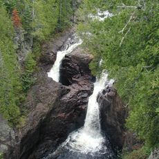
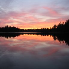
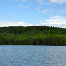
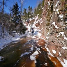
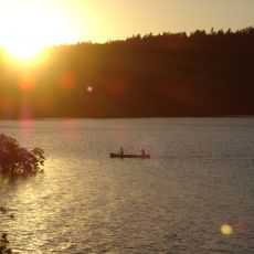
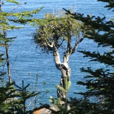
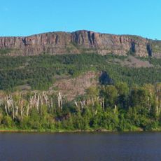
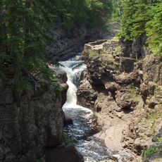
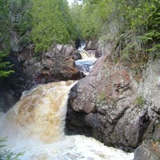
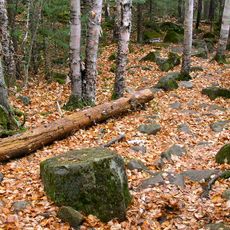
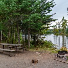
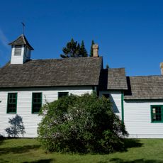
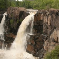
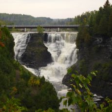
The Border Route Trail is a long hiking path stretching about 65 miles through northern Minnesota along the US and Canadian border. It passes through dense forests, along lakes, and across rocky terrain shaped by glaciers, offering views of the land and water throughout the journey.
The trail was built between 1972 and 1993 by volunteers as the first of its kind in the area for non-motorized use. In 2019, it was officially added to the North Country National Scenic Trail, making it part of a larger network of long-distance routes.
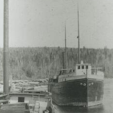
The trail follows routes once used by voyageurs and early explorers who traveled and traded through this region. Today, hikers still walk these same paths that have connected people across the landscape for generations.
Bring maps, compass, or GPS since sections are overgrown and not always clearly marked, especially in remote areas. Get a permit for the Wilderness area in advance, check current conditions before leaving, and plan for multiple days of hiking at a slower pace.
The trail passes by Magnetic Rock, a tall stone monolith whose minerals are so strong that compass needles spin wildly. This geological oddity makes it a memorable stop where visitors experience how the earth's natural forces can confuse their navigation tools.
The community of curious travelers
AroundUs brings together thousands of curated places, local tips, and hidden gems, enriched daily by 60,000 contributors worldwide.