
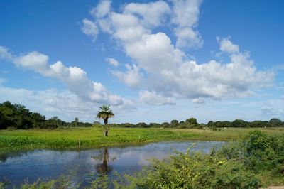
Hato Masagüaral, is the name given to a wildlife refuge, ecological center, tourist attraction and hacienda located in the Francisco de Miranda Municipality in southern Guárico State, Venezuela.
Location: Guárico
Location: Municipio Francisco de Miranda
GPS coordinates: 8.57164,-67.58183
Latest update: March 10, 2025 17:19
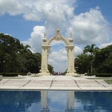
Arco del triunfo de carabobo
172.1 km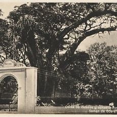
Samán de Güere
184.4 km
Aguaro-Guariquito National Park
96.5 km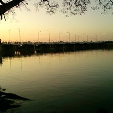
Ing. Generoso Campilongo Reservoir
46.1 km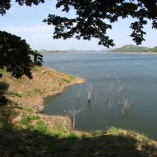
Camatagua Reservoir
153.8 km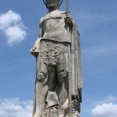
John the Baptist Monument
151.3 km
Hato Piñero
68.2 km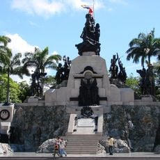
Altar de la Patria
171.9 km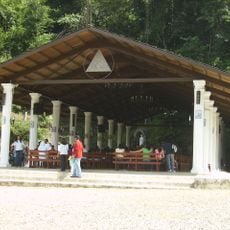
Santuario de la Virgen de Betania
182 km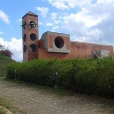
Güigüe Abbey
169.4 km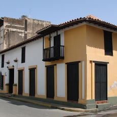
Casa Guipuzcoana
180.3 km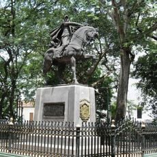
Plaza Bolívar de Calabozo
43.7 km
San Carlos Circuit
161.9 km
Terra Bianca Reservoir (San Juan de los Morros)
157.4 km
Morros de Macaira Natural Monument
177.9 km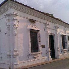
La Blanquera
164.6 km
Hato El Frío
154.9 km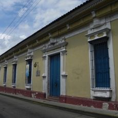
Museo Casa de los Celis
185.1 km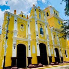
All Saints Cathedral
43.8 km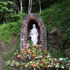
Marian apparitions of Betania
182 km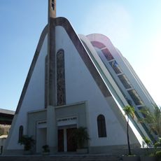
Cathedral of Our Lady of Mount Carmel
76.5 km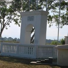
Arco de Taguanes
170.1 km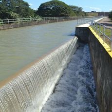
Sistema de riego del río Guárico
33.2 km
Picacho de Turmero
184.8 km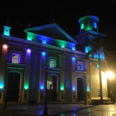
Cathedral of the Immaculate Conception
164.3 km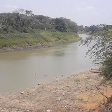
El Socorro de Portuguesa
44.5 km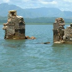
San Francisco de Cara church
153.3 km
Topo Cataurito
166 kmReviews
Visited this place? Tap the stars to rate it and share your experience / photos with the community! Try now! You can cancel it anytime.
Discover hidden gems everywhere you go!
From secret cafés to breathtaking viewpoints, skip the crowded tourist spots and find places that match your style. Our app makes it easy with voice search, smart filtering, route optimization, and insider tips from travelers worldwide. Download now for the complete mobile experience.

A unique approach to discovering new places❞
— Le Figaro
All the places worth exploring❞
— France Info
A tailor-made excursion in just a few clicks❞
— 20 Minutes