Enable Location

We need your location to show you interesting places around you

Discover nearby places

Find interesting locations and hidden gems around you

Precise directions

Get accurate directions and distances to places

Your location is never shared with other users. It's only used when you tap the location button.

Kon Tum

Log in to your account

Start exploring — it's free

Trusted by 62,373 travelers worldwide

Continue with Google
Continue with Apple
or

We will send you a code to connect

By continuing, you accept our Terms and Conditions and our Privacy Policy

Check your inbox

We've sent a pincode in your inbox. Please enter the code below.

Kon Tum

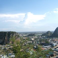
Kon Tum, Mountainous province in Central Highlands, Vietnam

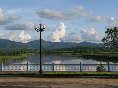
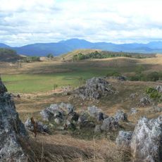
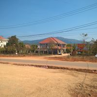
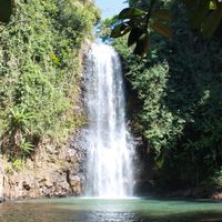
Kon Tum is a province in the Central Highlands of Vietnam, spreading across forested hills and fertile valleys. The Dak Bla and Se San rivers run through the area, connecting smaller settlements to the main town.

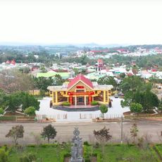
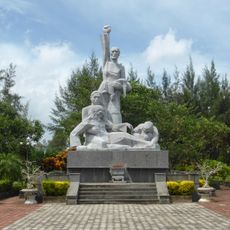
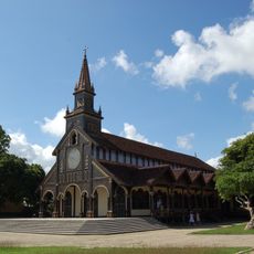
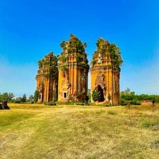
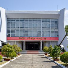
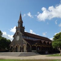
Missionaries from France founded a Christian community here in the mid-19th century and later built an administrative seat. During the war in the late 1960s and early 1970s, one of the main supply routes passed through the forested mountains.

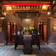
The name comes from the Ba Na language and describes the meeting point of two rivers, where villages have gathered for centuries. Visitors today still encounter traditional longhouses in many settlements, with carved wooden pillars and open gathering spaces in front.

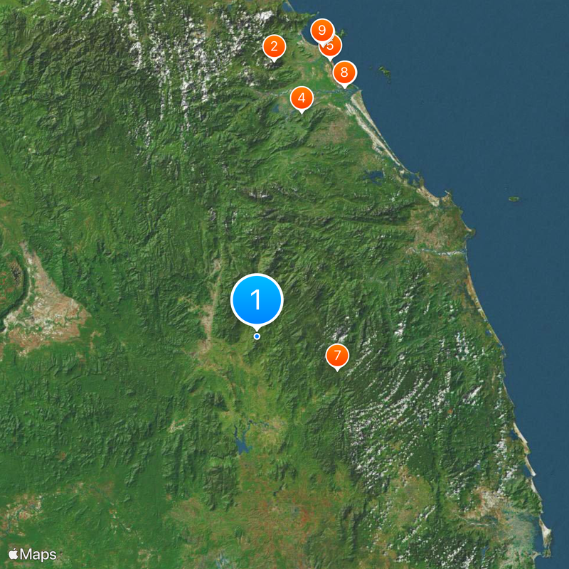
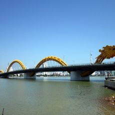
Most travelers arrive by road from Da Nang, with the journey passing through mountains and over passes. Accommodation options in the main town and several smaller settlements range from simple guesthouses to larger inns.

Some of the Rong Houses in smaller villages are over 100 years old and still serve as meeting points for elders and visitors. Their roofs often rise more than 20 meters (65 feet) high and are made from bamboo and grass.

The community of curious travelers

AroundUs brings together thousands of curated places, local tips, and hidden gems, enriched daily by 60,000 contributors worldwide.

Start exploring
Location
Capital city
Kon Tum
Elevation above the sea
1,136 m
Part of
Central Vietnam
Shares border with
Quảng Nam, Gia Lai, Quảng Ngãi, Ratanakiri Province
GPS coordinates
14.75000,107.91667
Latest update
December 13, 2025 18:21
« Kon Tum - Mountainous province in Central Highlands, Vietnam » is provided by Around Us (aroundus.com). Images and texts are derived from Wikimedia project under a Creative Commons license. You are allowed to copy, distribute, and modify copies of this page, under the conditions set by the license, as long as this note is clearly visible.

Discover hidden gems everywhere you go!

From secret cafés to breathtaking viewpoints, skip the crowded tourist spots and find places that match your style. Our app makes it easy with voice search, smart filtering, route optimization, and insider tips from travelers worldwide. Download now for the complete mobile experience.

Around Us App Screenshot

A unique approach to discovering new places

Le Figaro

All the places worth exploring

France Info

A tailor-made excursion in just a few clicks

20 Minutes

Around Us
Travel Guide & Maps
Download

Send to your phone

QR Code
1

Open the camera app on your mobile.

2

Point at the QR code with your camera. A notification will appear.

3

Tap the notification to open the link.