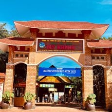
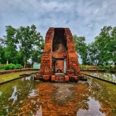
Phước Thuận, commune and village in Bà Rịa–Vũng Tàu, Vietnam
Location: Xuyên Mộc
Elevation above the sea: 11 m
GPS coordinates: 9.91667,105.80000
Latest update: April 29, 2025 05:32
Long An
92.6 km
Mỹ Thuận Bridge
41.9 km
Cần Thơ Bridge
12.7 km
Rạch Miễu Bridge
75.8 km
Vàm Cống bridge
55.1 km
Tram Chim National Park
95.2 km
Vinh Trang Temple
80.1 km
Óc Eo
78.2 km
My Thuan 2 Bridge
41.7 km
U Minh Thuong National Park
87 km
Cao Lanh Bridge
57.6 km
Tomb of Nguyen Dinh Chieu
86.8 km
Gò Tháp
75.5 km
Cổ Chiên Bridge
56.4 km
Quyt Hong Lai Vung
45.3 km
My Khanh Tourist Village
13.2 km
Dong Tam Snake Farm
72.8 km
Tân Thành
44.1 km
Vinh Hung tower
63.2 km
Cầu Quay
79.2 km
Cai Rang Bridge
11.4 km
Tan An Bridge
96.8 km
Cần Thơ Cathedral
12.4 km
Queen of Peace Cathedral, Long Xuyên
65.1 km
Long An Stadium
95.9 km
Can Tho Museum
13.3 km
Hoi Phuoc temple
44.8 km
Khu du lịch Làng Yến
108.9 kmReviews
Visited this place? Tap the stars to rate it and share your experience / photos with the community! Try now! You can cancel it anytime.
Discover hidden gems everywhere you go!
From secret cafés to breathtaking viewpoints, skip the crowded tourist spots and find places that match your style. Our app makes it easy with voice search, smart filtering, route optimization, and insider tips from travelers worldwide. Download now for the complete mobile experience.
A unique approach to discovering new places❞
— Le Figaro
All the places worth exploring❞
— France Info
A tailor-made excursion in just a few clicks❞
— 20 Minutes