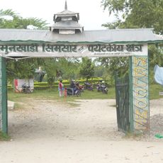
Dhankuta District, Administrative district in eastern Nepal
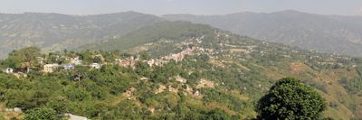
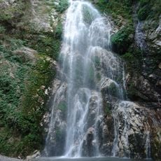
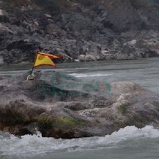
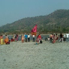
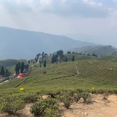
Dhankuta District is an administrative area in eastern Nepal with varied landscapes shaped by its geography and rivers. The terrain transitions gradually from lowland valleys to hill country, each zone supporting different types of vegetation and settlement patterns.
The area developed from the consolidation of ancient kingdoms into a single administrative district in the 1800s. This transformation established many of the boundaries and governance patterns that shape the region today.
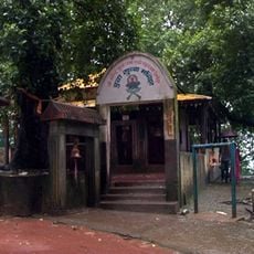
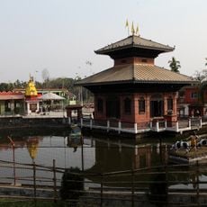
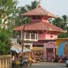
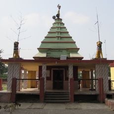
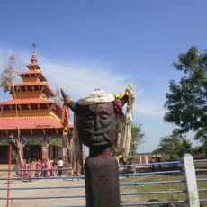
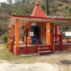
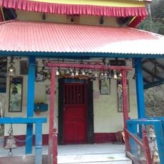
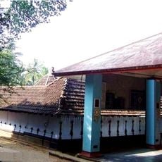
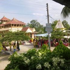
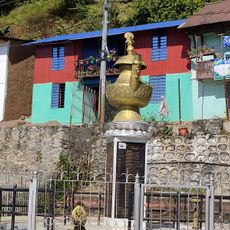
Multiple ethnic communities—Chhetri, Rai, Limbu, and Magar—live throughout the area and each has its own language, holidays, and ways of life. Walking through villages, you notice how these different traditions shape local customs and celebrations.
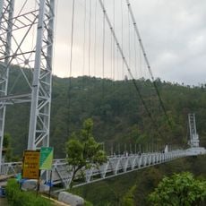
The area is accessible via a main highway that connects to larger regional routes, making travel relatively straightforward. Since the region is hilly, visitors should allow time for local journeys and be prepared for winding roads.
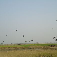
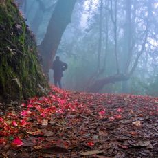
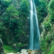
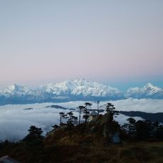
The region displays different forest types depending on elevation, ranging from tropical Sal forests in the valleys to temperate forests higher up. This natural variety supports different farming practices and creates distinct ecological zones.
The community of curious travelers
AroundUs brings together thousands of curated places, local tips, and hidden gems, enriched daily by 60,000 contributors worldwide.