
Buri Harar, summit in Pakistan
Location: Gilgit-Baltistan
Elevation above the sea: 4,880 m
GPS coordinates: 36.28690,74.87800
Latest update: April 10, 2025 19:50

Baltit Fort
19.2 km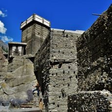
Altit Fort
17.9 km
Ultar
21 km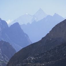
Lupghar Sar
13.6 km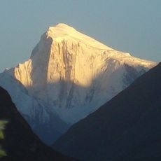
Spantik
26.8 km
Distaghil Sar
28.2 km
Shispare
24.6 km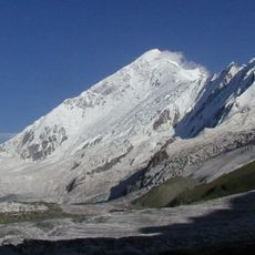
Diran
26.5 km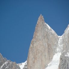
Ladyfinger Peak
22.7 km
Passu Sar
30.9 km
Khunyang Chhish
30.9 km
Trivor
17.9 km
Passu Glacier
22.4 km
Hunza Peak
21.8 km
Malubiting
31.6 km
Momhil Sar
14.5 km
Malangutti Sar
25.7 km
Bojohagur Duanasir
23.1 km
Rush Peak
13.6 km
Miar Peak
27.1 km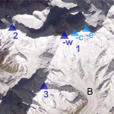
Bularung Sar
23.1 km
Phuparash Peak
27.7 km
Tupopdan
30.6 km
Momhil Glacier
21.4 km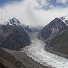
Barpu Glacier
10.6 km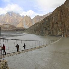
Hussaini Suspension Bridge
15.2 km
Minapin Glacier
30.1 km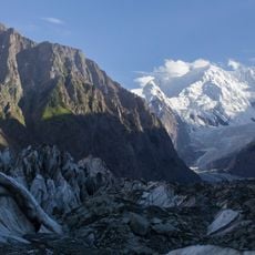
Buāltar Glacier
15.7 kmVisited this place? Tap the stars to rate it and share your experience / photos with the community! Try now! You can cancel it anytime.
Discover hidden gems everywhere you go!
From secret cafés to breathtaking viewpoints, skip the crowded tourist spots and find places that match your style. Our app makes it easy with voice search, smart filtering, route optimization, and insider tips from travelers worldwide. Download now for the complete mobile experience.

A unique approach to discovering new places❞
— Le Figaro
All the places worth exploring❞
— France Info
A tailor-made excursion in just a few clicks❞
— 20 Minutes