
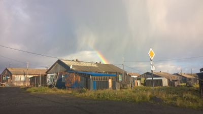
Karaul, village in Taymyrsky Dolgano-Nenetsky District, Krasnoyarsk Krai, Russia
Location: Karaul rural settlement
Location: Krasnoyarsk Krai
GPS coordinates: 70.07222,83.18333
Latest update: March 12, 2025 18:22

Putorana Plateau
398.3 km
Sabetta
428.3 km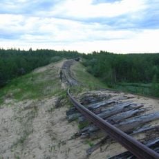
Salekhard–Igarka Railway
512 km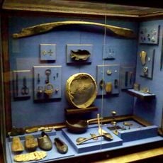
Mangazeya
378.5 km
Taymyr Nature Reserve
657.2 km
Great Arctic State Nature Reserve
677.3 km
Obskaya–Bovanenkovo Line
546.4 km
Putorana Nature Reserve
472.1 km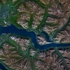
Lake Lama
265.6 km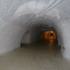
Новопортовский мерзлотник
489.3 km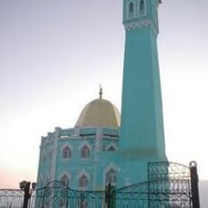
Nord Kamal Mosque
210.1 km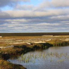
Zapovednik Gydansky
343 km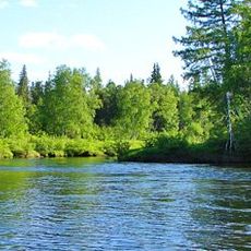
Upper Taz Nature Reserve
732.2 km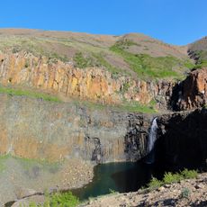
Krasnye Kamny
216 km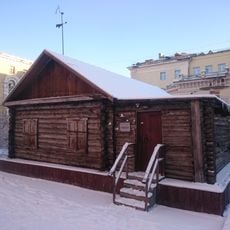
First house Norilsk
210.1 km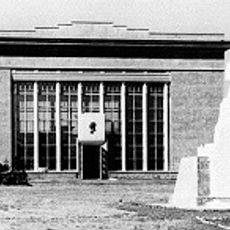
Музей Сталина (Курейка)
430.7 km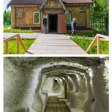
Permafrost Museum
321.3 km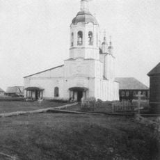
Turukhansk Holy Trinity Monastery
516.7 km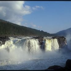
Great Kureika waterfall
480 km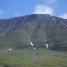
Харнаурды-Кеу
742.2 km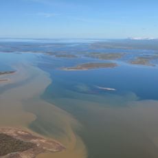
Khantayka Reservoir
286.5 km
Popow-Station
582.7 km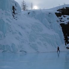
Putoransky Nature Reserve
441 km
Боганида (эвла)
525.7 km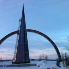
Polar circle monument
782.3 km
Здание начальной школы 501-й стройки (Салехард)
782.9 km
Здание театра 501-й стройки (Салехард)
783.2 km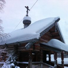
Obdorskoye Cemetery
783.7 kmReviews
Visited this place? Tap the stars to rate it and share your experience / photos with the community! Try now! You can cancel it anytime.
Discover hidden gems everywhere you go!
From secret cafés to breathtaking viewpoints, skip the crowded tourist spots and find places that match your style. Our app makes it easy with voice search, smart filtering, route optimization, and insider tips from travelers worldwide. Download now for the complete mobile experience.

A unique approach to discovering new places❞
— Le Figaro
All the places worth exploring❞
— France Info
A tailor-made excursion in just a few clicks❞
— 20 Minutes