Idaho features natural lakes in mountain ranges, historic sites and geological formations. The locations include waterfalls, caves, sand dunes, hot springs and wilderness areas. Visitors find national parks, rivers for fishing and rafting, and historic mining towns.
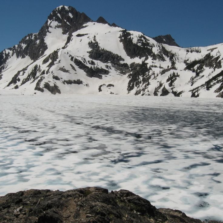
Custer County, Idaho
The lake sits at 8800 feet elevation among granite peaks. The 5-mile trail passes through conifer forests before reaching the water.
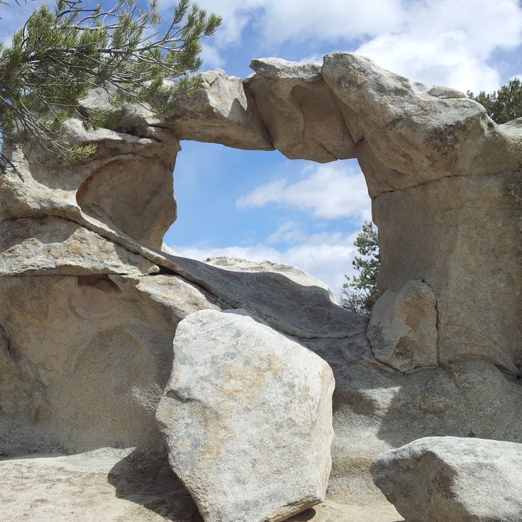
Cassia County, Idaho
The reserve spans 14,300 acres with over 500 climbing routes on granite. The rocks reach heights of up to 600 feet.
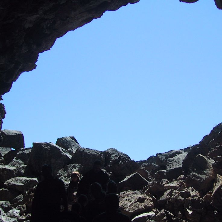
Lincoln County, Idaho
A 1000-foot lava tube maintaining 30°F temperature. The ice layer on the floor reaches 30 feet in thickness.
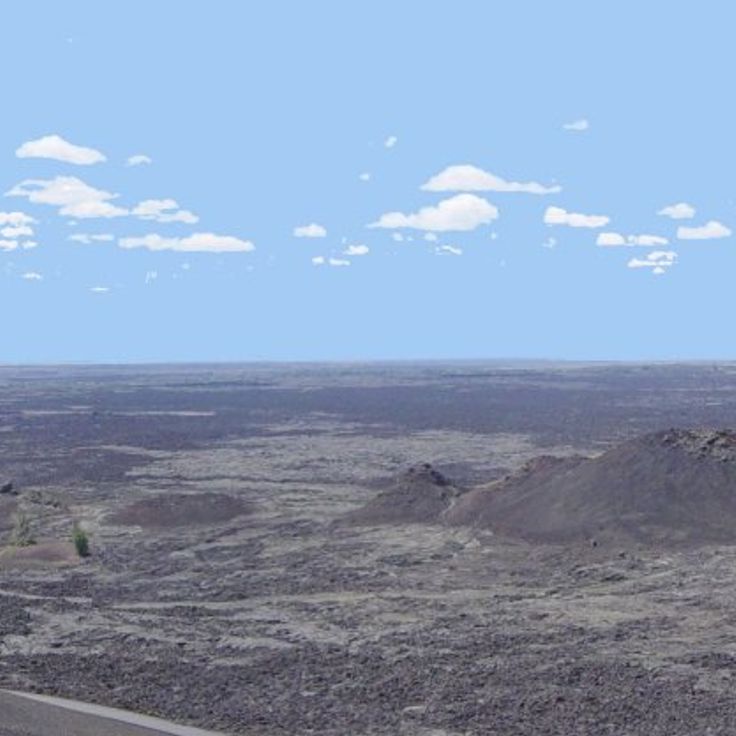
Butte County, Idaho
A 1,117 square mile area of black lava fields, volcanic cones, and lava tubes formed over the past 15,000 years.
Fremont County, Idaho
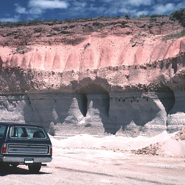
The waterfall drops 114 feet and forms a natural boundary with the Caribou-Targhee National Forest.
Shoshone County, Idaho
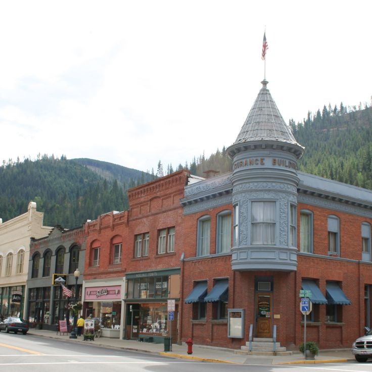
The town features architecture from the silver mining period with Victorian buildings and the Northern Pacific Railroad Depot.
Owyhee County, Idaho
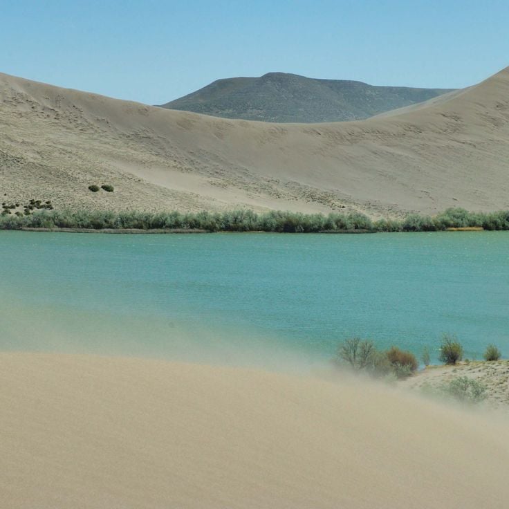
The park contains a 470-foot sand dune and an observatory for night sky viewing.
Adams County, Idaho
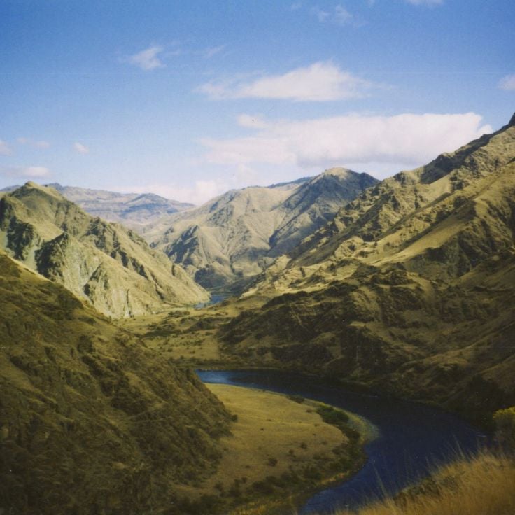
The canyon reaches depths of 7,900 feet and offers hiking trails, fishing spots, and rafting on the Snake River.
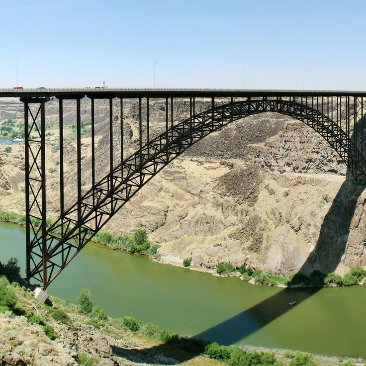
Twin Falls County, Idaho
The 486-foot steel arch bridge spans Snake River Canyon and serves as a launch point for BASE jumpers with canyon observation points.
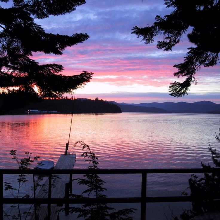
Bonner County, Idaho
The 19-mile lake in northern Idaho is surrounded by coniferous forests and provides water sports options, camping areas and hiking trails.
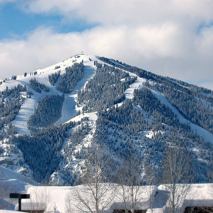
Blaine County, Idaho
The ski resort features 2,000 acres of downhill terrain, Nordic skiing center, golf courses, tennis courts and a cultural center with year-round events.
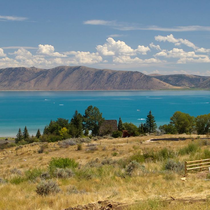
Bear Lake County, Idaho
The 20-mile lake between Idaho and Utah contains limestone minerals that give the water its turquoise color.
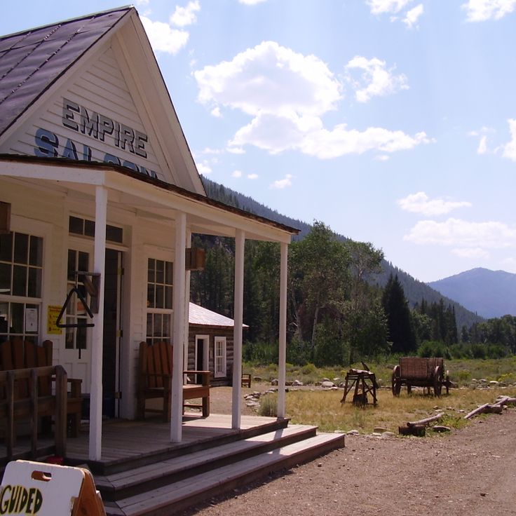
Custer County, Idaho
This former 19th century mining settlement displays original buildings and equipment from Idaho's gold mining period.
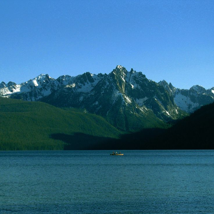
Custer County, Idaho
The five-mile mountain lake features sandy beaches, camping areas, and opportunities for fishing, swimming, and boating.
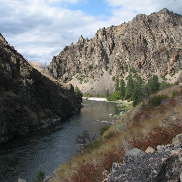
Lemhi County, Idaho
The hundred-mile river section runs through untouched wilderness and offers class III and IV rapids.
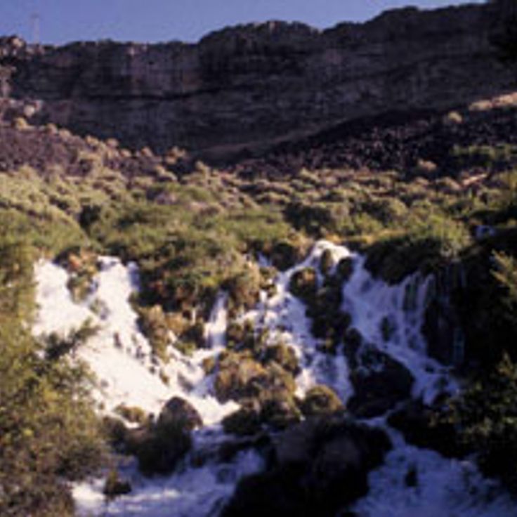
Gooding County, Idaho
Natural springs flow from the basalt cliffs and feed the Snake River with 12000 liters of water per second.
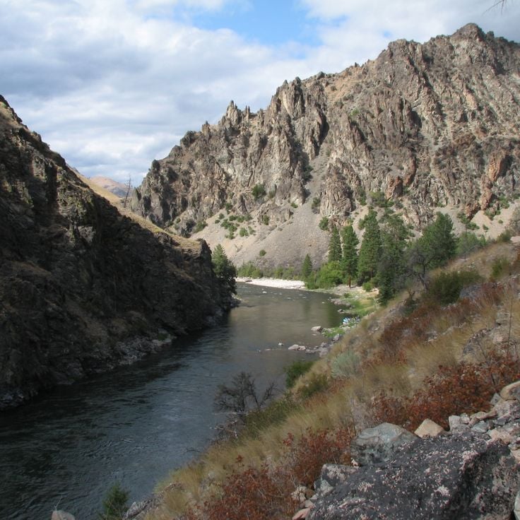
Lemhi County, Idaho
This protected area spans 2.3 million acres with rivers, mountains, forests, and meadows. The Main Salmon River flows through granite canyons in this federally designated wilderness.
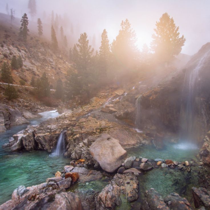
Boise County, Idaho
Natural thermal pools cascade down rock terraces near the South Fork Payette River. The springs maintain temperatures around 100-110°F throughout the year.
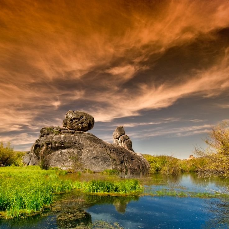
Cassia County, Idaho
Granite spires and rock formations rise from sagebrush terrain. The park contains climbing routes, hiking trails and Native American pictographs dating back thousands of years.
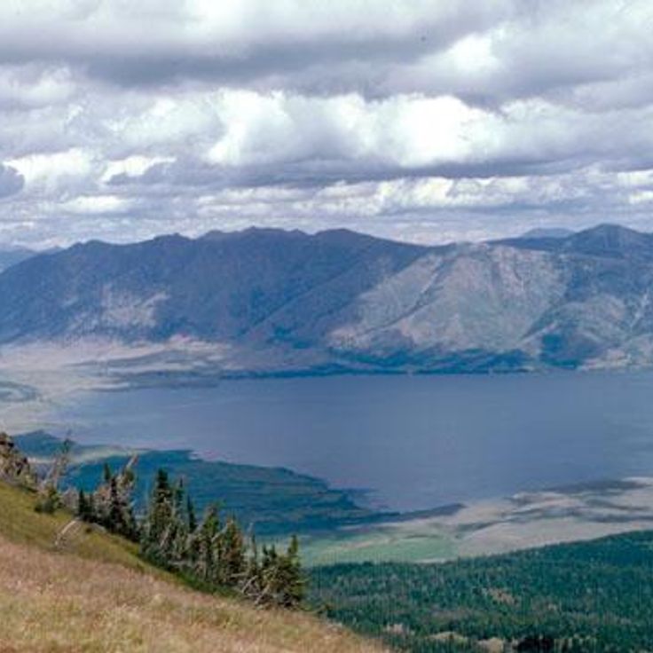
Fremont County, Idaho
This 6,000-acre alpine lake sits at 6,470 feet elevation. The waters contain cutthroat trout and brook trout with the Centennial Mountains visible from the shore.
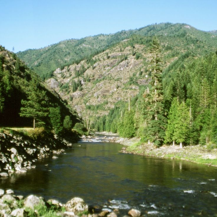
Idaho, USA
The national forest spans 1.8 million acres and contains cedar groves with trees up to 1000 years old.

Idaho, USA
The mountain passage at 7,373 feet marks the continental divide between Atlantic and Pacific water drainage.
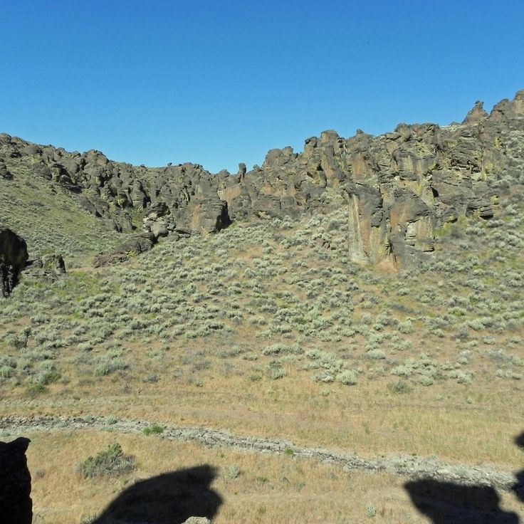
Idaho, USA
Volcanic rock formations create 100-foot towers and columns throughout the landscape.
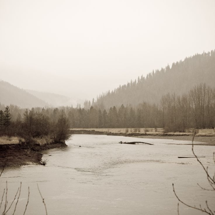
Idaho, USA
The river begins at 6,800 feet elevation and flows 140 miles through the northern part of the state.
Idaho County, Idaho
This federal wilderness area spans 206,000 acres of forest, meadows, and mountains. Visitors find elevated granite peaks, deep canyons, and alpine lakes.
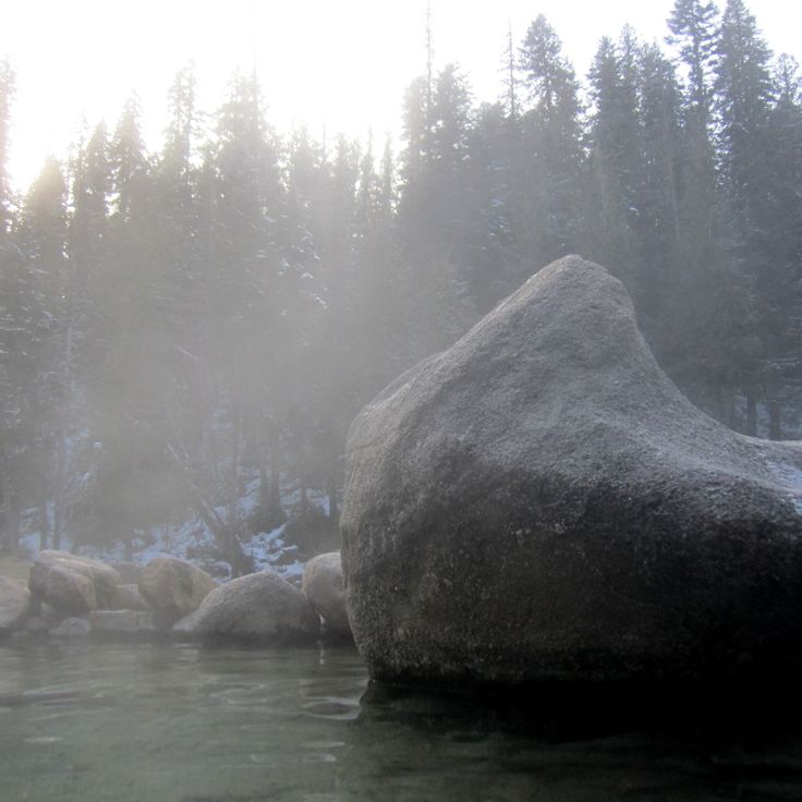
Idaho County, Idaho
Three natural pools near the Lochsa River maintain temperatures between 100-115°F. A 1-mile forest trail leads to the thermal springs.
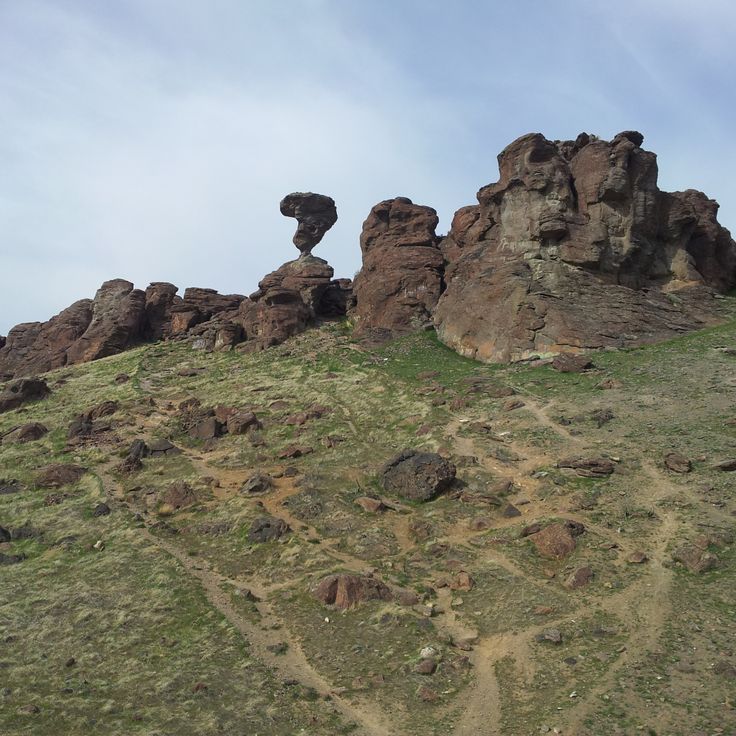
Twin Falls County, Idaho
A 40-ton boulder stands naturally balanced on a pedestal of eroded rock. The formation rises 48 feet above the desert floor.
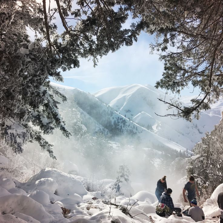
Lemhi County, Idaho
Multiple thermal pools form a cascading system on a hillside. The 2-mile trail climbs 1000 feet to reach springs with temperatures ranging from 100-110°F.
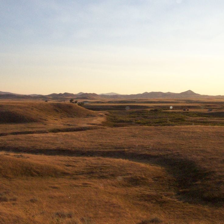
Idaho
The park documents indigenous people's history through archaeological sites, artifacts and traditional ceremonial grounds in the region.
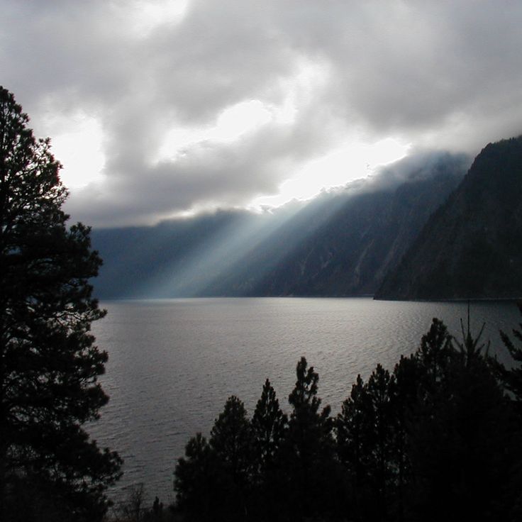
Idaho
The park encompasses 4000 acres with hiking trails, camping areas and water sports facilities along the shores of Lake Pend Oreille.
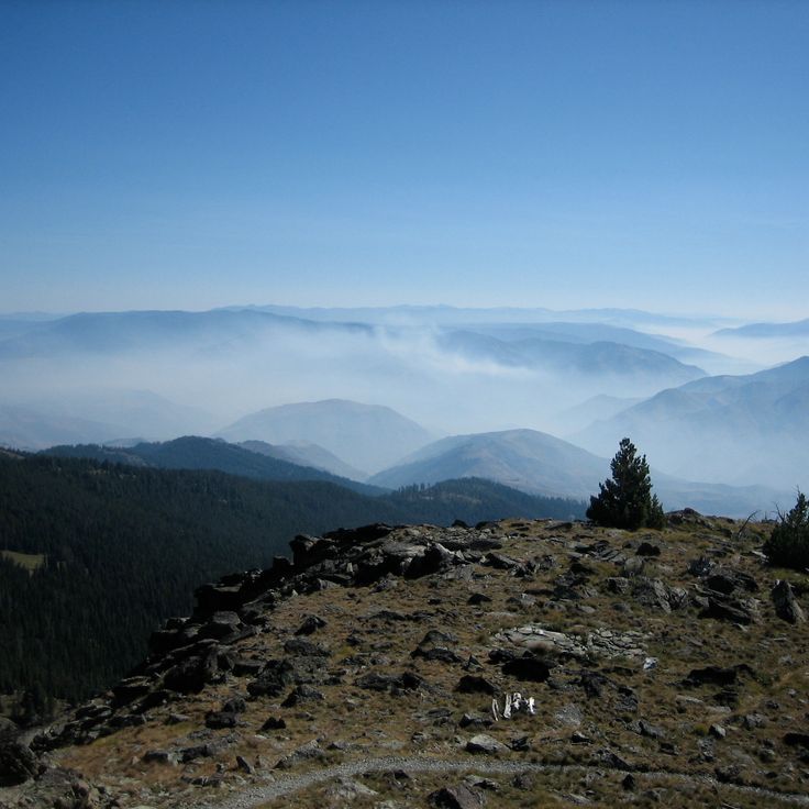
Idaho
The observation point at 2600 meters elevation provides views of Oregon, Washington, Montana and the Seven Devils mountains.


