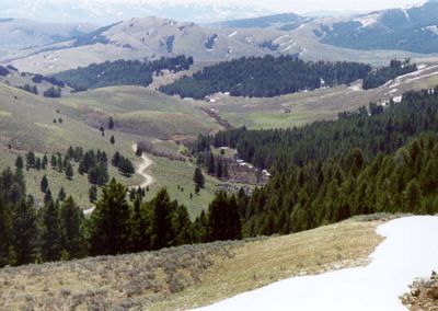
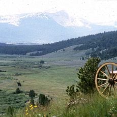
Lemhi Pass, Mountain pass at Continental Divide, Idaho and Montana, US.
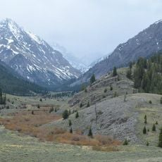
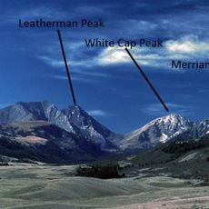
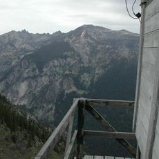
Lemhi Pass is a mountain pass at the Continental Divide between Idaho and Montana, rising to 7,373 feet (2,247 m). The landscape features native sagebrush, grasses, and conifer trees such as Douglas-fir and lodgepole pine across open, sloping terrain.
The Lewis and Clark Expedition crossed here on August 12, 1805, marking their exit from United States territory and the Missouri River basin. This crossing became a defining moment in the exploration of the western continent.
The name comes from Mormon missionaries who chose it in 1855 after King Limhi from their religious texts. This reflects how different groups have left their mark on the western landscape through the places they named.
High-clearance vehicles are necessary due to the deeply rutted and rocky narrow road leading to the pass. The drive requires careful navigation through uneven terrain.
The area around the pass contains the largest thorium deposits in the United States along with numerous lanthanide mineral formations. These rare elements are found in one of the country's most remote mountain regions.
The community of curious travelers
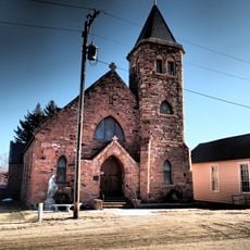
AroundUs brings together thousands of curated places, local tips, and hidden gems, enriched daily by 60,000 contributors worldwide.