Hiking along the French Riviera: Coastal paths between Nice and Monaco, from Cap d'Ail to the Gorges du Verdon
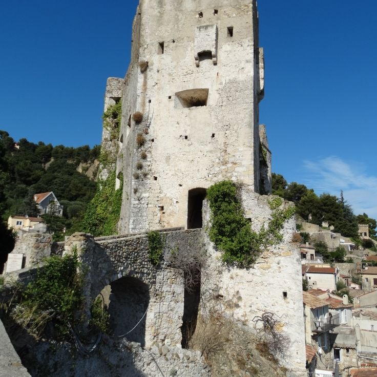
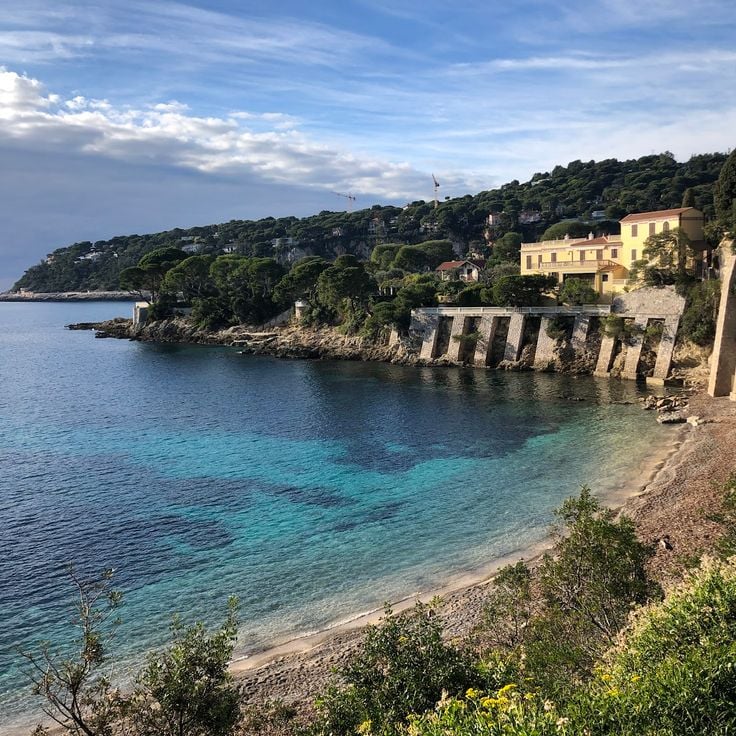
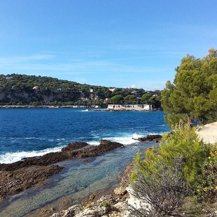
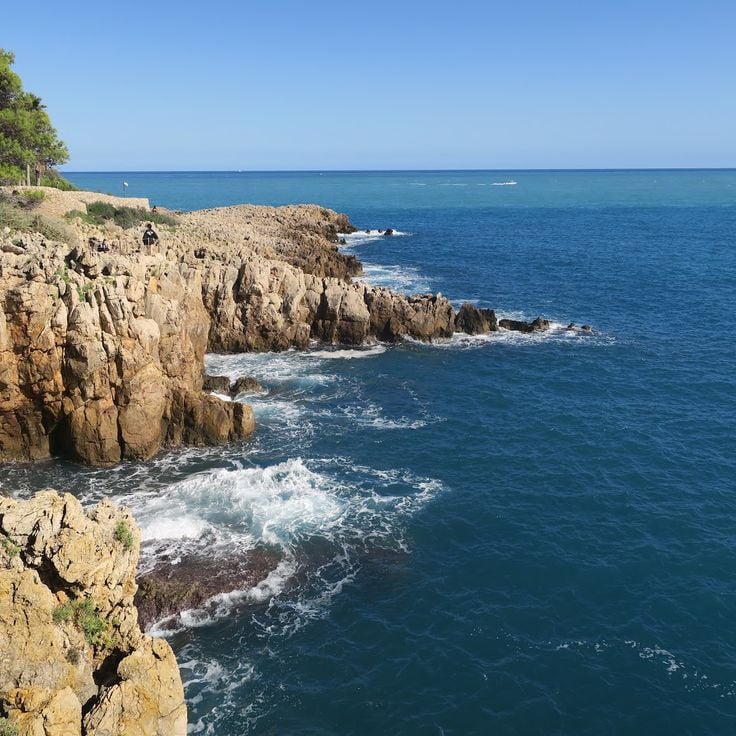
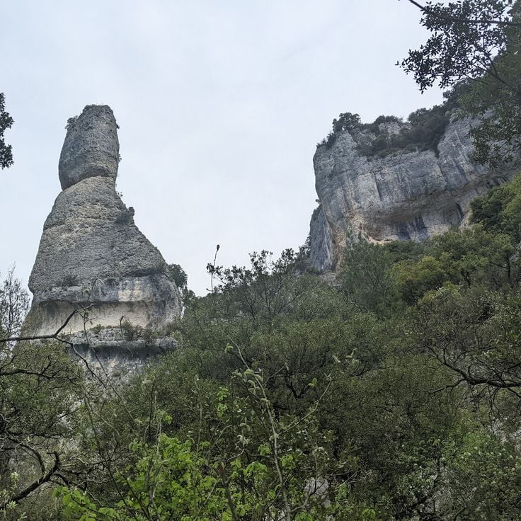
Between Nice and Monaco, coastal trails provide the opportunity to explore the Mediterranean coastline through various routes. The Cap d'Ail Coastal Path, Nietzsche's Path in Èze with 400 meters of elevation gain, and the Mont Boron Park in Nice with its 11 kilometers of marked trails allow exploration of the region from different perspectives. These routes alternate between seaside sections and uphill segments, offering views over the coast and inland areas. The geological diversity of the region is evident in the limestone cliffs lining the Route des Crêtes between La Ciotat and Cassis, the rock formations of Cap d'Ail, and the red rocks of the Esterel Massif. Further inland, the Verdon Gorges feature a canyon 700 meters deep, while the Mercantour National Park houses the Sentier des Géants within its ancient forest. The historical heritage marks these routes: the Nice Observatory on Mont Gros dates from the 19th century, Fort La Revere overlooks the coast from 696 meters altitude, and Saint-Honorat Island preserves its active monastery. These trails serve as direct accesses to the nature and history of the French Riviera.
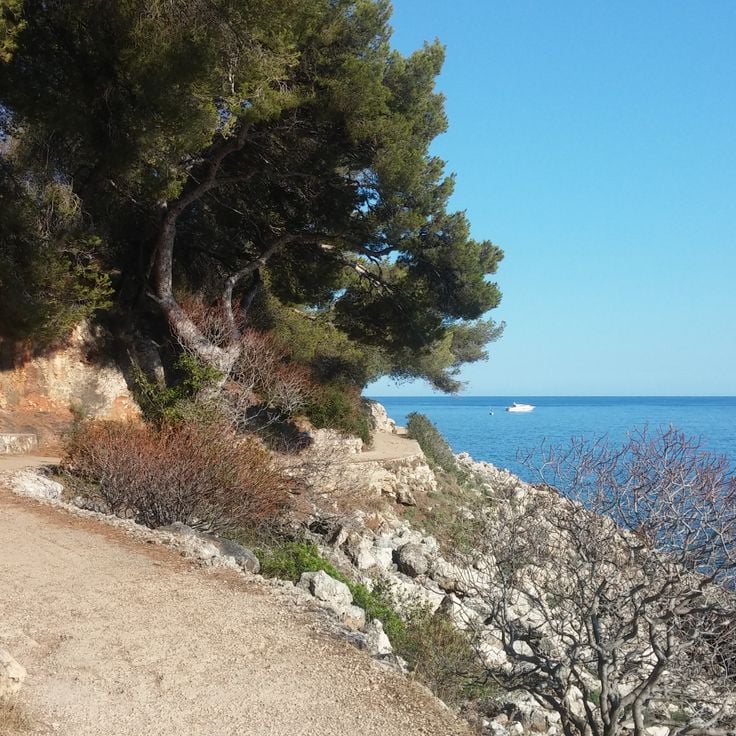
Cap d'Ail, France
This coastal trail extends over 3.6 kilometers between Monaco and Cap d'Ail, featuring rock formations and native Mediterranean vegetation.
Nice, France
This former customs path runs along the Mediterranean coast for 4 kilometers, connecting several beaches and coves between the port of Nice and Cap de Nice. The Sentier des Douaniers offers views over the turquoise waters and passes through sections of Mediterranean vegetation.
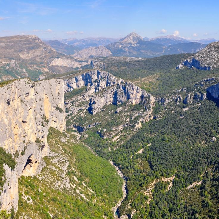
Aiguines, France
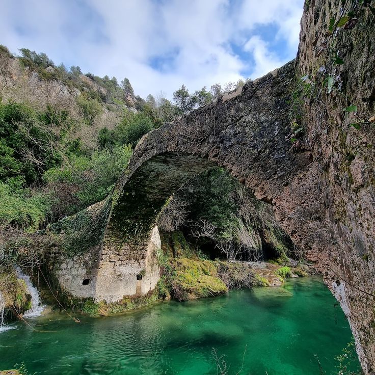
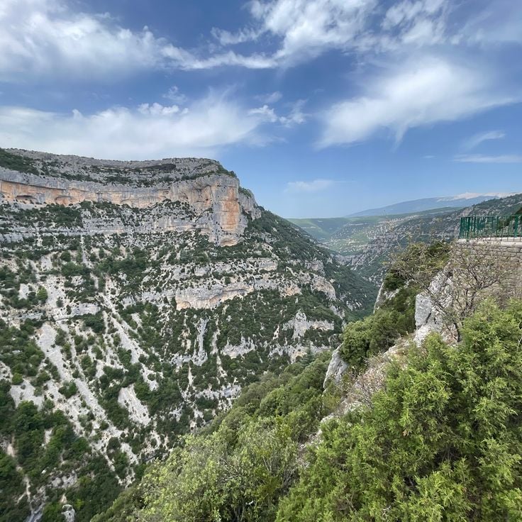
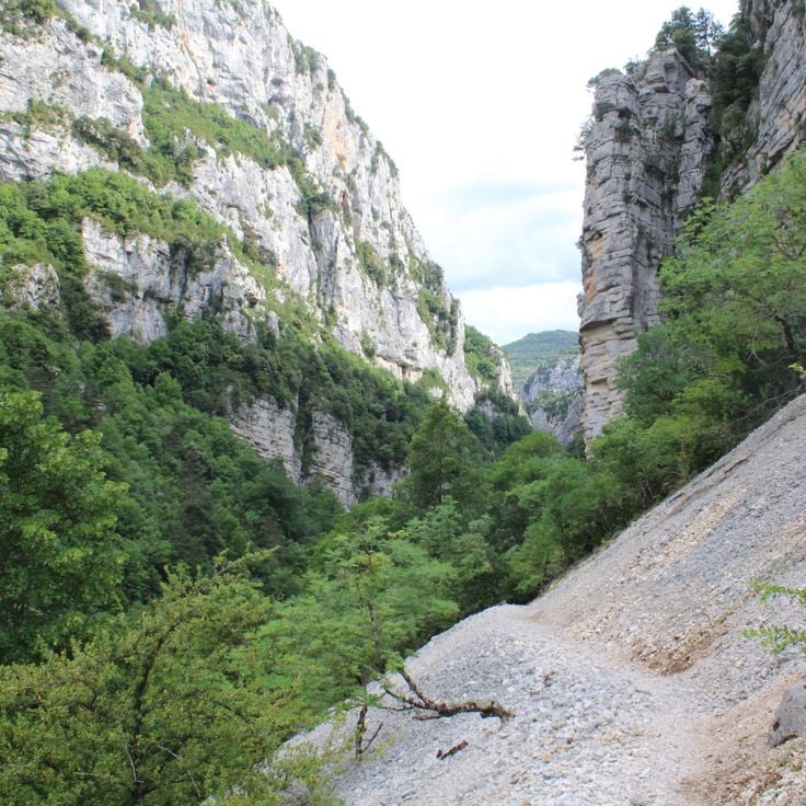
This canyon reaches 700 meters in depth with several marked trails totaling 100 kilometers around its limestone walls.
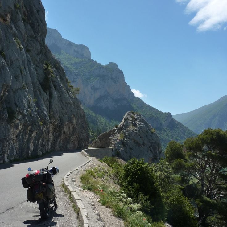
La Ciotat, France
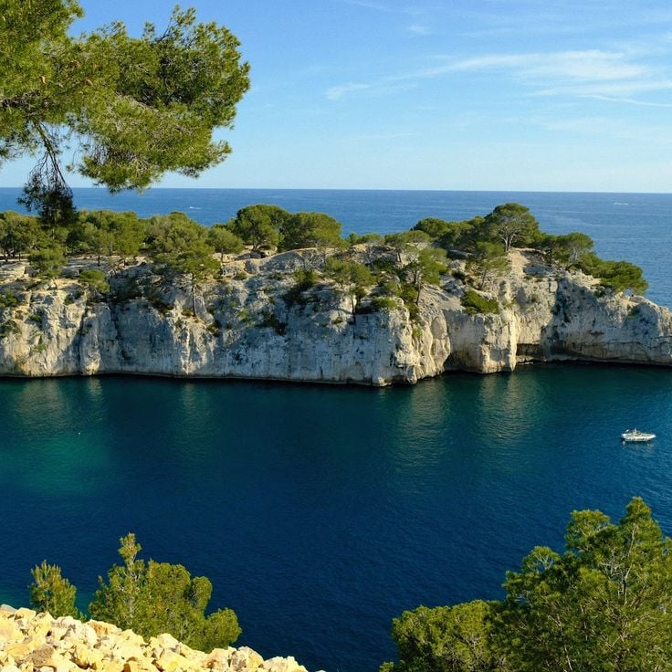
This 15-kilometre road connects La Ciotat to Cassis through limestone cliffs that rise 350 metres above the Mediterranean Sea.
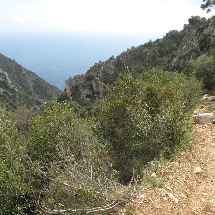
Èze, France
The Chemin de Nietzsche is a mountain path with a 400-meter elevation difference connecting the medieval village of Èze to sea level. Philosopher Friedrich Nietzsche regularly walked this route during his stays on the Côte d'Azur between 1883 and 1888. The trail passes through Mediterranean vegetation and provides views of the Mediterranean Sea.
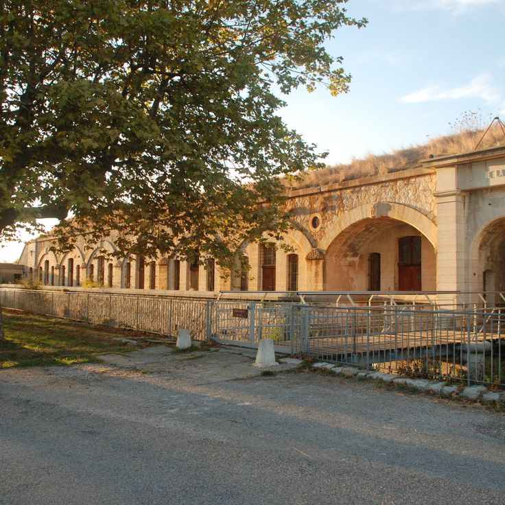
Èze, France
This military fort built in the 19th century stands at 696 meters altitude on the heights of Èze. The site features several hiking trails that provide access to different observation points over the Mediterranean coast. The historical fortifications showcase the military architecture of that era and offer an extended view over the sea and hinterland.
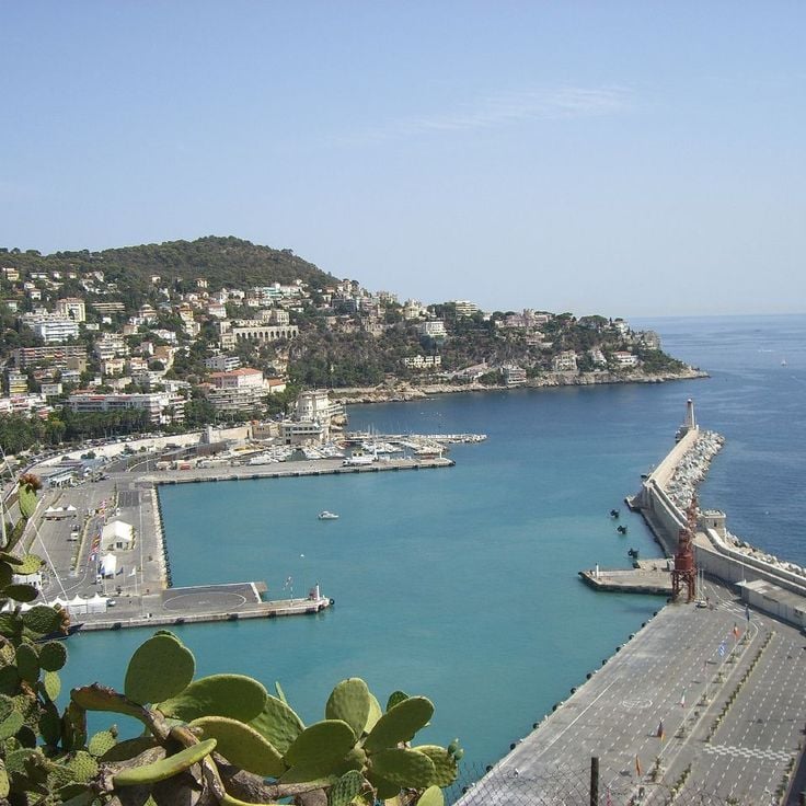
Nice, France
Natural area of 57 hectares with Mediterranean vegetation, 11 kilometers of marked paths and viewpoints over Nice.

Nice, France
The Nice Observatory has occupied the summit of Mont Gros since its foundation in 1879. This scientific establishment preserves several 19th-century domes housing historical instruments, including the large equatorial telescope. The gardens surrounding the buildings present a botanical collection adapted to the Mediterranean climate. The site demonstrates the development of French astronomy through its architecture and technical equipment.
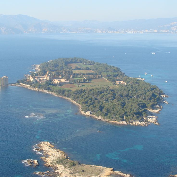
Cannes, France
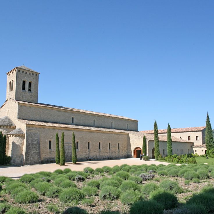
Saint-Honorat Island is home to Lérins Abbey, a Cistercian monastic community active since the 5th century. The monks cultivate vineyards that produce local wines and maintain several historical chapels scattered across the island. Marked trails allow visitors to walk around the coastline and through pine forests and olive groves, providing viewpoints over the Mediterranean Sea and the neighboring Sainte-Marguerite Island.
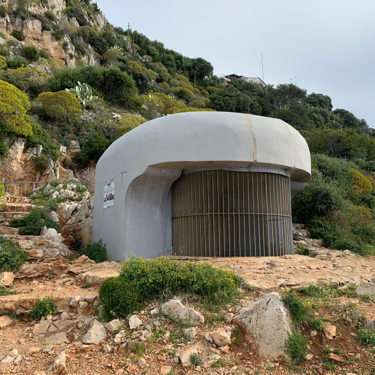
Nice, France
Pointe des Sans Culottes is a rocky promontory extending into the Mediterranean east of Nice. This natural headland is covered with typical Mediterranean vegetation and provides viewpoints over the Bay of Nice and the surrounding coastline. The site is accessible via the coastal path that runs along the shore between Nice and Villefranche-sur-Mer.
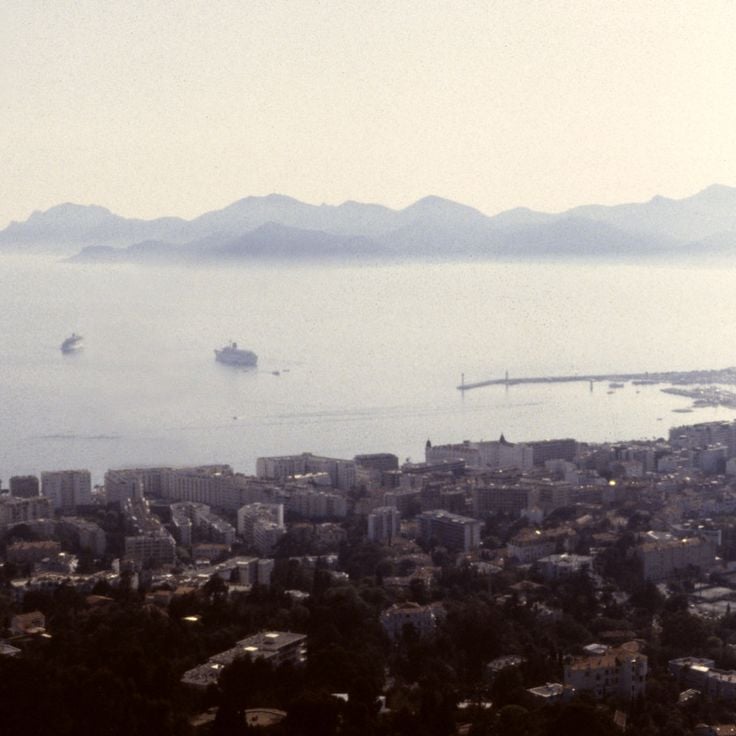
Tanneron, France
The Tanneron Massif extends across the Var hinterland and consists of wooded hills reaching approximately 600 meters in elevation. This region is known for its mimosa forests that bloom during winter and early spring. The massif offers several hiking trails that cross forest areas of cork oaks and chestnut trees. The routes provide access to observation points with views of the Mediterranean and the Southern Alps. The Tanneron territory also contains Provençal villages and cut flower production sites.
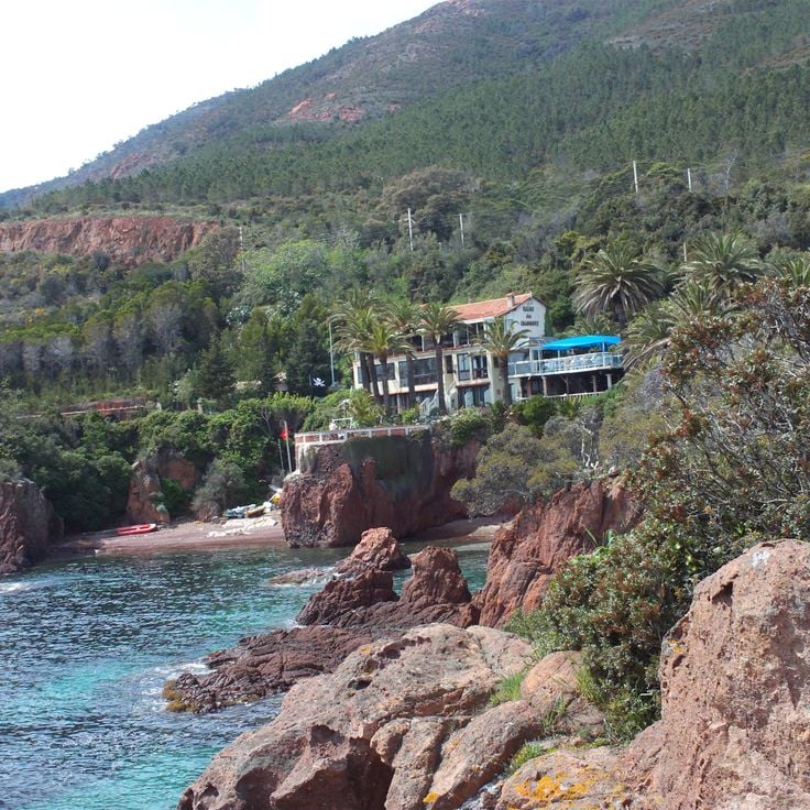
Fréjus, France
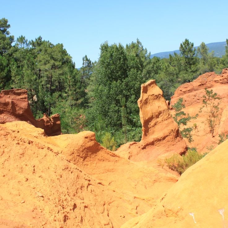
The state forest covers 6000 hectares with trails winding between red porphyry rocks and Mediterranean vegetation.
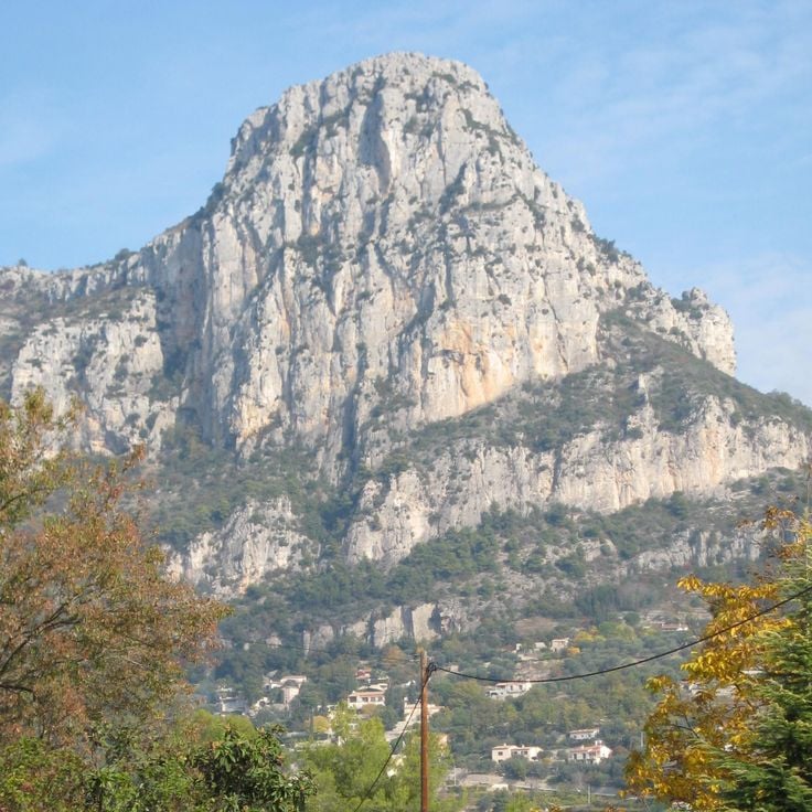
Saint-Jeannet, France
The Baou de Saint-Jeannet is an 800-meter limestone cliff with marked hiking trails and climbing routes on its vertical south face. The summit provides views over the Côte d'Azur hinterland and surrounding valleys.


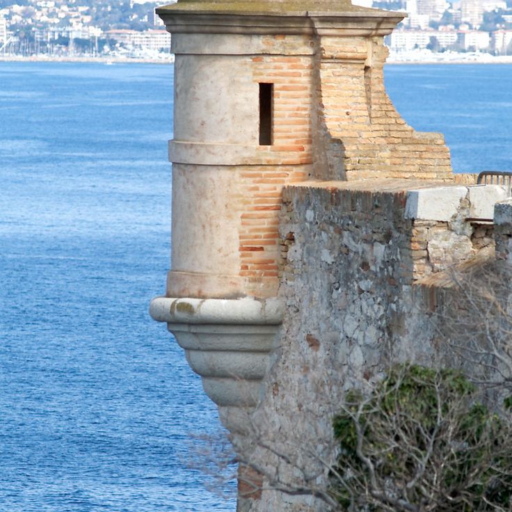
France
Historical fort and cannon on Sainte-Marguerite Island, France.


