Enable Location

We need your location to show you interesting places around you

Discover nearby places

Find interesting locations and hidden gems around you

Precise directions

Get accurate directions and distances to places

Your location is never shared with other users. It's only used when you tap the location button.

Medford

Log in to your account

Start exploring — it's free

Trusted by 61,867 travelers worldwide

Continue with Google
Continue with Apple
or

We will send you a code to connect

By continuing, you accept our Terms and Conditions and our Privacy Policy

Check your inbox

We've sent a pincode in your inbox. Please enter the code below.

Medford, Urban center in Greater Boston, Massachusetts, United States

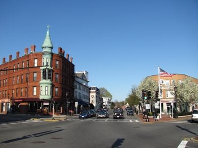
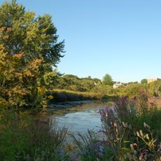
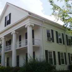
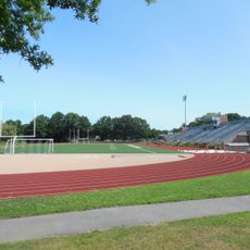
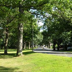
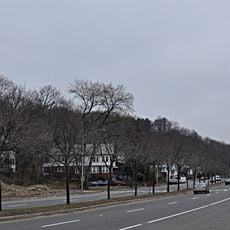
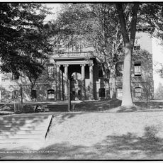
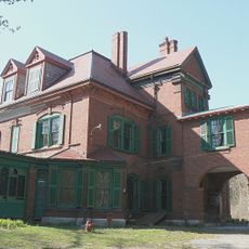
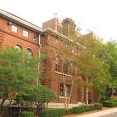
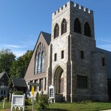
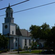
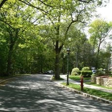
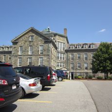
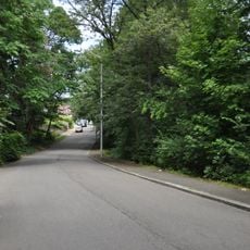
Medford is a residential town north of Boston that lies along the Mystic River and covers several neighborhoods with mixed housing styles. The streets follow a grid pattern in newer areas and wind through older sections that trace colonial routes.

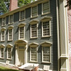
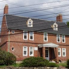
The town formed in the 1630s as a farming settlement that supplied grain and livestock to nearby Boston Bay. By the 18th century the village grew through shipbuilding and brickworks along the river.

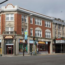
The name of this place recalls a river crossing that settlers used centuries ago. Today residents gather at farmers markets, neighborhood squares, and local coffee shops along the main avenues.

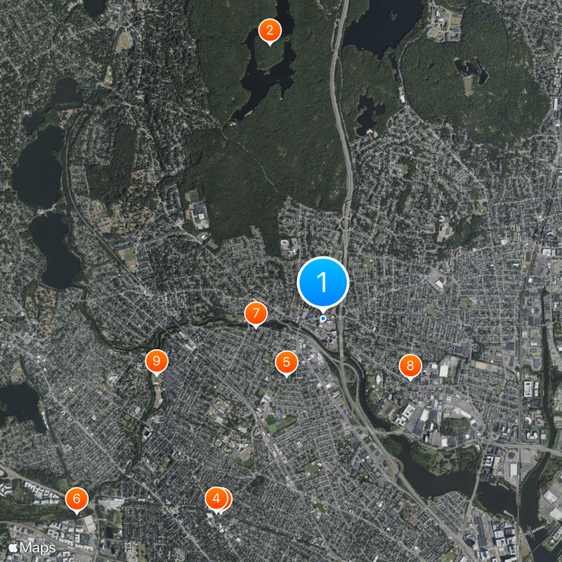
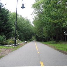
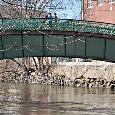
Visitors reach the residential neighborhoods by several bus lines and commuter rail stops along the edges of the town center. Walking paths connect different focal points, with some routes crossing bridges or running beside waterfront parks.

Along the riverbank stand foundations of old shipyards where sailing vessels for East Coast trade were once built. Some bridge abutments carry carved dates from the 19th century that mark earlier crossing points.

The community of curious travelers

AroundUs brings together thousands of curated places, local tips, and hidden gems, enriched daily by 60,000 contributors worldwide.

Start exploring
Location
Inception
1630
Elevation above the sea
4 m
Part of
Greater Boston
GPS coordinates
42.41833,-71.10667
Latest update
December 13, 2025 15:37
Around this place
Middlesex Fells Reservation
United States of America

Middlesex Fells Reservation

3.5 km
Somerville Community Path
United States of America

Somerville Community Path

2.7 km
Somerville Theatre
United States of America

Somerville Theatre

2.7 km
Isaac Royall House
United States of America

Isaac Royall House

845 m
Alewife Brook Reservation
United States of America

Alewife Brook Reservation

3.9 km
Grandfather's House
United States of America

Grandfather's House

842 m
Peter Tufts House
United States of America

Peter Tufts House

1.3 km
Dilboy Stadium
United States of America

Dilboy Stadium

2.2 km
Mystic Valley Parkway
United States of America

Mystic Valley Parkway

2.3 km
Fells Connector Parkways
United States of America

Fells Connector Parkways

3.7 km
Prince Hall Mystic Cemetery
United States of America

Prince Hall Mystic Cemetery

2.5 km
Congregation Beth Israel
United States of America

Congregation Beth Israel

2.5 km
Salem Street Burying Ground
United States of America

Salem Street Burying Ground

80 m
Ballou Hall
United States of America

Ballou Hall

1.6 km
Shepherd Brooks Estate
United States of America

Shepherd Brooks Estate

3.2 km
Davis Square statues
United States of America

Davis Square statues

2.7 km
Eaton Hall
United States of America

Eaton Hall

1.6 km
Goddard Hall
United States of America

Goddard Hall

1.7 km
Unitarian Universalist Church of Medford and the Osgood House
United States of America

Unitarian Universalist Church of Medford and the Osgood House

740 m
Goddard Chapel
United States of America

Goddard Chapel

1.6 km
Calvary Methodist Church
United States of America

Calvary Methodist Church

3.5 km
Lawrence Light Guard Armory
United States of America

Lawrence Light Guard Armory

526 m
Middlesex Fells Reservation Parkways
United States of America

Middlesex Fells Reservation Parkways

3 km
Almshouse
United States of America

Almshouse

2.8 km
Capitol Theater Building
United States of America

Capitol Theater Building

3.3 km
Fellsmere Park Parkways
United States of America

Fellsmere Park Parkways

2 km
Medford Pipe Bridge
United States of America

Medford Pipe Bridge

457 m
East Hall
United States of America

East Hall

1.5 km
Show the full map
« Medford - Urban center in Greater Boston, Massachusetts, United States » is provided by Around Us (aroundus.com). Images and texts are derived from Wikimedia project under a Creative Commons license. You are allowed to copy, distribute, and modify copies of this page, under the conditions set by the license, as long as this note is clearly visible.

Discover hidden gems everywhere you go!

From secret cafés to breathtaking viewpoints, skip the crowded tourist spots and find places that match your style. Our app makes it easy with voice search, smart filtering, route optimization, and insider tips from travelers worldwide. Download now for the complete mobile experience.

Around Us App Screenshot

A unique approach to discovering new places

Le Figaro

All the places worth exploring

France Info

A tailor-made excursion in just a few clicks

20 Minutes

Around Us
Travel Guide & Maps
Download

Send to your phone

QR Code
1

Open the camera app on your mobile.

2

Point at the QR code with your camera. A notification will appear.

3

Tap the notification to open the link.