Columbus

Log in to your account

AroundUs is a community-driven map of interesting places, built by curious explorers like you. It grows with every review, story, and photo you share.
Connect to save your favorite spots, contribute locations, and create personalized routes.
Continue with Google
Continue with Apple
Continue with X
Continue with Facebook
Continue with email
By continuing, you accept our Terms and Conditions and our Privacy Policy
Create an account
Add to collection
Map
Suggest a change
Share

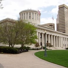
Columbus, State capital and metropolitan center in Ohio, United States.

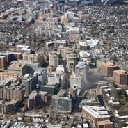
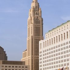
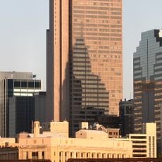
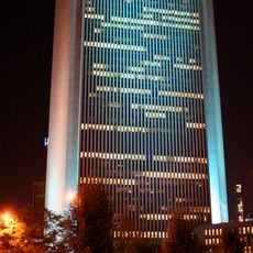
Columbus is the state capital of Ohio and sits where the Scioto and Olentangy rivers meet, spreading across Franklin, Delaware, and Fairfield counties. The city forms a dense core of tall buildings, residential neighborhoods, parks, and a grid of roads that extends in every direction over the central flatland.

The state legislature chose this site in 1812 to build a new capital, moving the government from Chillicothe to a planned location along the river. From that beginning, the settlement grew steadily and evolved from a small administrative town into a major urban center in the Midwest.

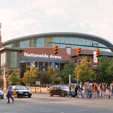
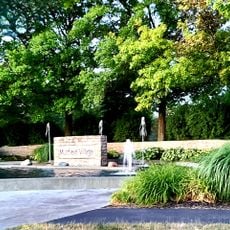
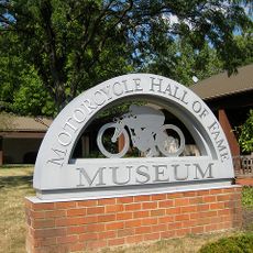
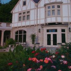
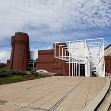
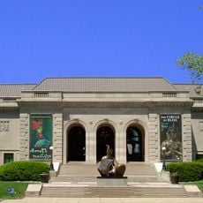
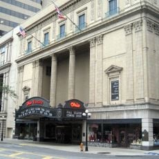
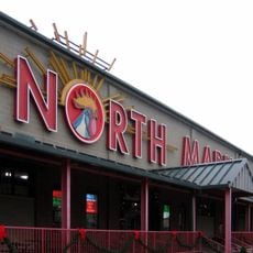
Residents gather in neighborhood markets, attend performances at theaters across the city, and fill parks on weekends with families and friends enjoying open spaces. The downtown streets come alive in the evening, with people moving between restaurants, bars, and music venues that reflect a community invested in arts and social life.

Buses connect the downtown area with neighborhoods and the airport, while most areas are easily accessible by car and parking remains widely available. Streets are flat and straightforward to navigate, though traffic can become heavier during weekday rush hours.

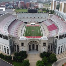
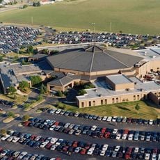
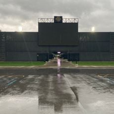
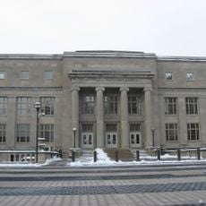
The largest university campus in the state occupies a large portion of the city and brings tens of thousands of students into the streets, shops, and venues around it. On game days, the entire district fills with people heading to the sports facilities, turning the surrounding area into a temporary festival.

Location: Franklin County

Location: Delaware County

Location: Fairfield County

Inception: 1812

Elevation above the sea: 275 m

Shares border with: Bellefontaine, Bexley, Whitehall, Upper Arlington, Minerva Park, Worthington, Westerville, New Albany, Dublin, Hilliard, Grove City, Groveport, Reynoldsburg, Gahanna, Grandview Heights, Marble Cliff, Obetz, Riverlea

Address: Columbus, OH, USA

Website: https://columbus.gov

GPS coordinates: 39.96222,-83.00056

Latest update: December 14, 2025 21:13

Photos
American cities by population: the 50 major metropolitan areas from New York to Arlington

This list presents the 50 most populous cities in the United States according to the official estimates from the U.S. Census Bureau as of July 2024. These metropolitan areas showcase the country's diversity in economic, cultural, and geographic aspects. From New York with 8.48 million residents, a...

Around this place
Show the full map
Reviews

Visited this place? Tap the stars to rate it and share your experience / photos with the community! Try now! You can cancel it anytime.

« Columbus - State capital and metropolitan center in Ohio, United States » is provided by Around Us (aroundus.com). Images and texts are derived from Wikimedia project under a Creative Commons license. You are allowed to copy, distribute, and modify copies of this page, under the conditions set by the license, as long as this note is clearly visible.

Discover hidden gems everywhere you go!

From secret cafés to breathtaking viewpoints, skip the crowded tourist spots and find places that match your style. Our app makes it easy with voice search, smart filtering, route optimization, and insider tips from travelers worldwide. Download now for the complete mobile experience.

Around Us App Screenshot

A unique approach to discovering new places

Le Figaro

All the places worth exploring

France Info

A tailor-made excursion in just a few clicks

20 Minutes