Pope County

Log in to your account

AroundUs is a community-driven map of interesting places, built by curious explorers like you. It grows with every review, story, and photo you share.
Connect to save your favorite spots, contribute locations, and create personalized routes.
Continue with Google
Continue with Apple
Continue with X
Continue with Facebook
Continue with email
By continuing, you accept our Terms and Conditions and our Privacy Policy
Create an account
Add to collection
Map
Suggest a change
Share

Pope County, Administrative county in southern Illinois, United States.

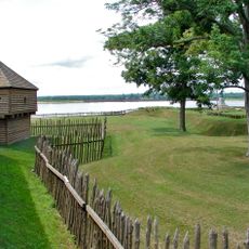
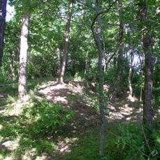
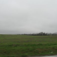
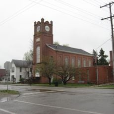
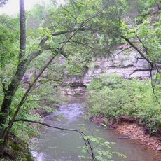
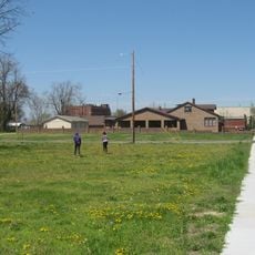
Pope County is a sparsely populated administrative division in southern Illinois located along the Ohio River boundary. The territory consists mostly of farmland, forests, and small settlements scattered across the landscape.

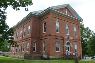
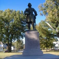
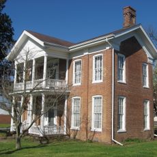
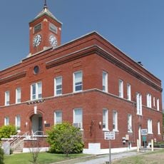
The county was established in 1816 as part of Illinois's early administrative framework. Golconda became its governmental center and shaped the region's development for generations to come.

Local communities in Pope County maintain traditional agricultural practices and organize regular gatherings that bring residents together throughout the seasons.

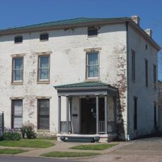
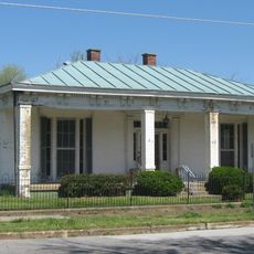
The county seat in Golconda houses the administrative offices and public services for the sparse population spread across the region. Visitors should expect a rural setting where amenities and facilities may require travel to reach.

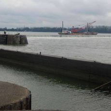
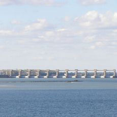
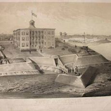
The location along the Ohio River boundary shaped early settlement patterns and influenced economic growth in the region. This river served as a natural trade corridor that helped establish the area's initial communities.

Location: Illinois

Inception: 1816

Capital city: Golconda

Shares border with: Saline County, Massac County, Hardin County, Livingston County, Johnson County, Williamson County

Website: http://popeco.net

GPS coordinates: 37.41000,-88.57000

Latest update: December 7, 2025 20:22

Photos
Around this place
Kincaid Mounds State Historic Site
United States of America

Kincaid Mounds State Historic Site

37.3 km
Fort Massac
United States of America

Fort Massac

31.4 km
Irvin S. Cobb Bridge
United States of America

Irvin S. Cobb Bridge

33.3 km
United States of America

Honeywell Uranium Hexafluoride Processing Facility

31.3 km
Dixon Springs State Park
United States of America

Dixon Springs State Park

9 km
Lock and Dam Number 52
United States of America

Lock and Dam Number 52

32.9 km
Smithland Lock and Dam
United States of America

Smithland Lock and Dam

29.9 km
Rowlandton Mound Site
United States of America

Rowlandton Mound Site

35.6 km
Fort Anderson
United States of America

Fort Anderson

35.4 km
Lloyd Tilghman House
United States of America

Lloyd Tilghman House

36.3 km
Lloyd Tilghman Memorial
United States of America

Lloyd Tilghman Memorial

36.8 km
Mantle Rock Archeological District
United States of America

Mantle Rock Archeological District

14.1 km
Orr-Herl Mound and Village Site
United States of America

Orr-Herl Mound and Village Site

21.6 km
David Yeiser House
United States of America

David Yeiser House

35.8 km
Confederate Monument in Paducah
United States of America

Confederate Monument in Paducah

36.4 km
Elijah P. Curtis House
United States of America

Elijah P. Curtis House

32.3 km
Golconda Historic District
United States of America

Golconda Historic District

8.8 km
United States of America

Lusk's Ferry, Illinois

9.1 km
Bell Smith Springs
United States of America

Bell Smith Springs

14.3 km
Lusk Creek Canyon
United States of America

Lusk Creek Canyon

12.4 km
Hardin County Courthouse
United States of America

Hardin County Courthouse

23.8 km
Masonic Temple
United States of America

Masonic Temple

36.8 km
Richard Olive House
United States of America

Richard Olive House

33.5 km
Masonic Hall-Federal Commissary Building
United States of America

Masonic Hall-Federal Commissary Building

33.3 km
Massac Theatre
United States of America

Massac Theatre

32.2 km
Fort Massac State Park
United States of America

Fort Massac State Park

31.4 km
Superman statue
United States of America

Superman statue

32.1 km
Raum Lookout Tower
United States of America

Raum Lookout Tower

5.7 km
Show the full map
Reviews

Visited this place? Tap the stars to rate it and share your experience / photos with the community! Try now! You can cancel it anytime.

« Pope County - Administrative county in southern Illinois, United States » is provided by Around Us (aroundus.com). Images and texts are derived from Wikimedia project under a Creative Commons license. You are allowed to copy, distribute, and modify copies of this page, under the conditions set by the license, as long as this note is clearly visible.

Discover hidden gems everywhere you go!

From secret cafés to breathtaking viewpoints, skip the crowded tourist spots and find places that match your style. Our app makes it easy with voice search, smart filtering, route optimization, and insider tips from travelers worldwide. Download now for the complete mobile experience.

Around Us App Screenshot

A unique approach to discovering new places

Le Figaro

All the places worth exploring

France Info

A tailor-made excursion in just a few clicks

20 Minutes