Enable Location

We need your location to show you interesting places around you

Discover nearby places

Find interesting locations and hidden gems around you

Precise directions

Get accurate directions and distances to places

Your location is never shared with other users. It's only used when you tap the location button.

Monroe County

Log in to your account

Start exploring — it's free

Trusted by 62,505 travelers worldwide

Continue with Google
Continue with Apple
or

We will send you a code to connect

By continuing, you accept our Terms and Conditions and our Privacy Policy

Check your inbox

We've sent a pincode in your inbox. Please enter the code below.

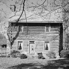
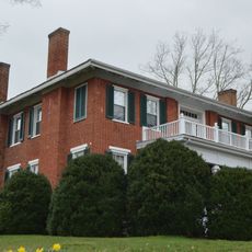
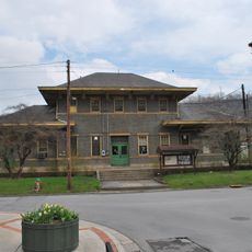
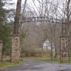
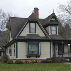
Monroe County, County seat and administrative center in Monroe County, West Virginia, United States

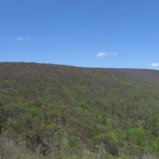
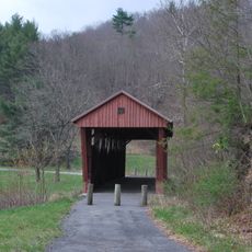
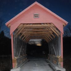
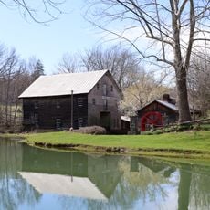
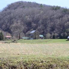
Monroe County is an administrative division in West Virginia covering mountainous terrain and farmland across its region. The New River runs along its southwestern border, shaping the landscape and geography of the area.

The area was established as a separate county in 1799, carved from Greenbrier County. It received its name from James Monroe, who would later serve as the nation's fifth President.

The annual Farmers' Day celebration in Union brings together local farming families for activities including parades, races, and community gatherings.

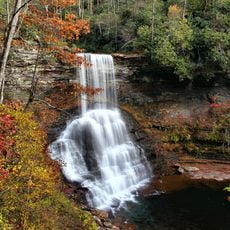
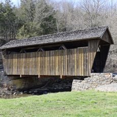
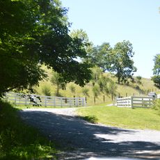
The region is predominantly rural with mountainous areas that require some physical readiness for exploration. Visitors should prepare for changing weather and unpaved roads in more remote locations.

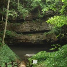
Haynes Cave in the area holds paleontological remains connected to Thomas Jefferson's scientific interests and was once mined for saltpeter. This underground site played a role in the region's early economy.

The community of curious travelers

AroundUs brings together thousands of curated places, local tips, and hidden gems, enriched daily by 60,000 contributors worldwide.

Start exploring
Location
Inception
January 14, 1799
Capital city
Union
Shares border with
Greenbrier County, Summers County, Giles County, Craig County, Alleghany County
GPS coordinates
37.56000,-80.54000
Latest update
December 7, 2025 19:25
Around this place
Federal Prison Camp, Alderson
United States of America

Federal Prison Camp, Alderson

21.4 km
Rehoboth Church
United States of America

Rehoboth Church

4.4 km
Moncove Lake State Park
United States of America

Moncove Lake State Park

17.8 km
Col. James Graham House
United States of America

Col. James Graham House

19.7 km
Salt Pond Mountain
United States of America

Salt Pond Mountain

17.3 km
Cascades
United States of America

Cascades

21.9 km
Indian Creek Covered Bridge
United States of America

Indian Creek Covered Bridge

3.5 km
Hokes Mill Covered Bridge
United States of America

Hokes Mill Covered Bridge

15.3 km
Alexander McVeigh Miller House
United States of America

Alexander McVeigh Miller House

20.8 km
Elmwood
United States of America

Elmwood

4 km
United States of America

Sinking Creek Valley Cluster

26.2 km
Salt Sulphur Springs Historic District
United States of America

Salt Sulphur Springs Historic District

2.8 km
Laurel Creek Covered Bridge
United States of America

Laurel Creek Covered Bridge

7.7 km
Cook's Mill
United States of America

Cook's Mill

13.1 km
Union Historic District
United States of America

Union Historic District

3.5 km
Alderson Bridge
United States of America

Alderson Bridge

20.5 km
Alderson Historic District
United States of America

Alderson Historic District

20.4 km
Pence Springs Hotel Historic District
United States of America

Pence Springs Hotel Historic District

21 km
Doe Creek Farm
United States of America

Doe Creek Farm

26.1 km
Wallace Estill, Sr., House
United States of America

Wallace Estill, Sr., House

8.7 km
William Gaston Caperton, Jr., House
United States of America

William Gaston Caperton, Jr., House

4.3 km
McNeer House
United States of America

McNeer House

2.9 km
Brig. Gen. John Echols House
United States of America

Brig. Gen. John Echols House

3.6 km
Ronceverte Historic District
United States of America

Ronceverte Historic District

22.1 km
Sunset Hill
United States of America

Sunset Hill

18.7 km
Argabrite House
United States of America

Argabrite House

20.7 km
Organ Cave
United States of America

Organ Cave

19.8 km
Hanging Rock Raptor Observatory
United States of America

Hanging Rock Raptor Observatory

9.9 km
Show the full map
« Monroe County - County seat and administrative center in Monroe County, West Virginia, United States » is provided by Around Us (aroundus.com). Images and texts are derived from Wikimedia project under a Creative Commons license. You are allowed to copy, distribute, and modify copies of this page, under the conditions set by the license, as long as this note is clearly visible.

Discover hidden gems everywhere you go!

From secret cafés to breathtaking viewpoints, skip the crowded tourist spots and find places that match your style. Our app makes it easy with voice search, smart filtering, route optimization, and insider tips from travelers worldwide. Download now for the complete mobile experience.

Around Us App Screenshot

A unique approach to discovering new places

Le Figaro

All the places worth exploring

France Info

A tailor-made excursion in just a few clicks

20 Minutes

Around Us
Travel Guide & Maps
Download

Send to your phone

QR Code
1

Open the camera app on your mobile.

2

Point at the QR code with your camera. A notification will appear.

3

Tap the notification to open the link.