Enable Location

We need your location to show you interesting places around you

Discover nearby places

Find interesting locations and hidden gems around you

Precise directions

Get accurate directions and distances to places

Your location is never shared with other users. It's only used when you tap the location button.

Wood County

Log in to your account

Start exploring — it's free

Trusted by 61,882 travelers worldwide

Continue with Google
Continue with Apple
or

We will send you a code to connect

By continuing, you accept our Terms and Conditions and our Privacy Policy

Check your inbox

We've sent a pincode in your inbox. Please enter the code below.

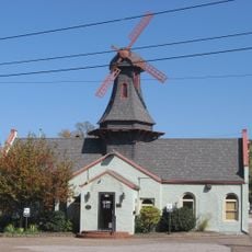
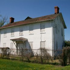
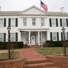
Wood County, County administrative division in Parkersburg, United States.

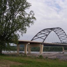
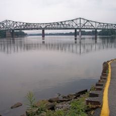
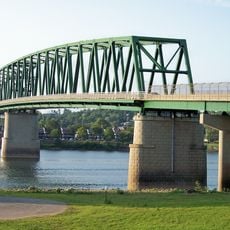
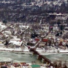
Wood County is an administrative division in West Virginia located along the Ohio River. The region encompasses land stretching across the central part of the state, with Parkersburg serving as its main population center.

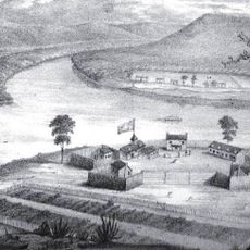
Wood County was established in 1798 by separating from Harrison County's western territories. The area was named after James Wood, who served as Virginia's governor in the late 1790s.

Each year, Wood County residents gather at magisterial districts including Clay, Harris, Lubeck, and Parkersburg to maintain local traditions and community connections.

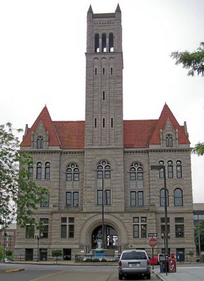
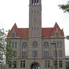
The county courthouse in Parkersburg handles core services like property taxes, marriage licenses, and voter registration. Digital mapping resources are available to help visitors understand the area's geography and administrative boundaries.

The Ohio River Islands National Wildlife Refuge spans into Wood County, providing natural habitats for native species along the river. These protected zones create a living corridor of wildlife amid the region's developed areas.

The community of curious travelers

AroundUs brings together thousands of curated places, local tips, and hidden gems, enriched daily by 60,000 contributors worldwide.

Start exploring
Location
Inception
December 21, 1798
Capital city
Parkersburg
Shares border with
Washington County, Athens County, Meigs County, Jackson County, Wirt County, Ritchie County, Pleasants County
GPS coordinates
39.21000,-81.51000
Latest update
December 7, 2025 19:26
Around this place
Blennerhassett Island Historical State Park
United States of America

Blennerhassett Island Historical State Park

12.1 km
Blennerhassett Hotel
United States of America

Blennerhassett Hotel

7.5 km
Fort Harmar
United States of America

Fort Harmar

22.7 km
Parkersburg Bridge
United States of America

Parkersburg Bridge

8.3 km
Blennerhassett Island Bridge
United States of America

Blennerhassett Island Bridge

13.9 km
Memorial Bridge
United States of America

Memorial Bridge

9.4 km
Henderson Hall Historic District
United States of America

Henderson Hall Historic District

18.8 km
Buckley Island
United States of America

Buckley Island

22.3 km
Parkersburg–Belpre Bridge
United States of America

Parkersburg–Belpre Bridge

8.3 km
Belleville Lock and Dam
United States of America

Belleville Lock and Dam

22.4 km
Williamstown Bridge
United States of America

Williamstown Bridge

22.7 km
Fort Boreman
United States of America

Fort Boreman

7.6 km
Willow Island Lock and Dam
United States of America

Willow Island Lock and Dam

23.4 km
Harmar Historic District
United States of America

Harmar Historic District

22.5 km
Wood County Courthouse
United States of America

Wood County Courthouse

7.6 km
W. H. Bickel Estate
United States of America

W. H. Bickel Estate

7.9 km
Carnegie Library
United States of America

Carnegie Library

7.4 km
Cook House
United States of America

Cook House

8.2 km
Peter G. Van Winkle House
United States of America

Peter G. Van Winkle House

7.7 km
W.H. Smith Hardware Company Building
United States of America

W.H. Smith Hardware Company Building

7.8 km
Smoot Theatre
United States of America

Smoot Theatre

7.7 km
Henry Cooper House
United States of America

Henry Cooper House

7.1 km
Henry Logan Memorial AME Church
United States of America

Henry Logan Memorial AME Church

7.8 km
Captain Jonathan Stone House
United States of America

Captain Jonathan Stone House

8.9 km
Windmill Quaker State
United States of America

Windmill Quaker State

7.9 km
Judge Joseph Barker House
United States of America

Judge Joseph Barker House

22.7 km
First Presbyterian Church
United States of America

First Presbyterian Church

7.6 km
Charles Rice Ames House
United States of America

Charles Rice Ames House

11.6 km
Show the full map
« Wood County - County administrative division in Parkersburg, United States » is provided by Around Us (aroundus.com). Images and texts are derived from Wikimedia project under a Creative Commons license. You are allowed to copy, distribute, and modify copies of this page, under the conditions set by the license, as long as this note is clearly visible.

Discover hidden gems everywhere you go!

From secret cafés to breathtaking viewpoints, skip the crowded tourist spots and find places that match your style. Our app makes it easy with voice search, smart filtering, route optimization, and insider tips from travelers worldwide. Download now for the complete mobile experience.

Around Us App Screenshot

A unique approach to discovering new places

Le Figaro

All the places worth exploring

France Info

A tailor-made excursion in just a few clicks

20 Minutes

Around Us
Travel Guide & Maps
Download

Send to your phone

QR Code
1

Open the camera app on your mobile.

2

Point at the QR code with your camera. A notification will appear.

3

Tap the notification to open the link.