Waterbury, town in Vermont, in United States of America
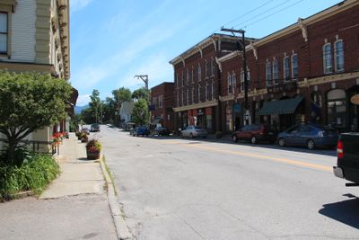
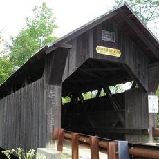
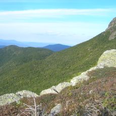
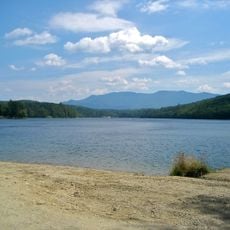
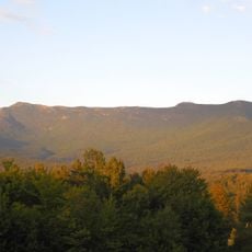
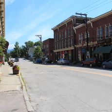
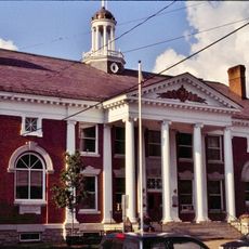
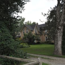
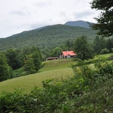
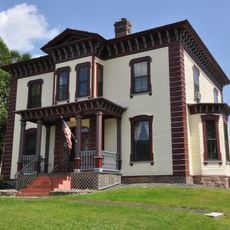
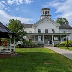
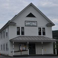
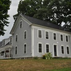
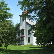
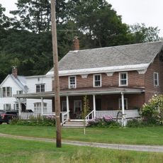
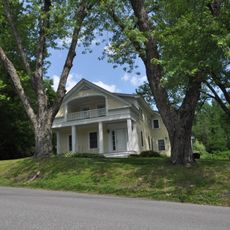
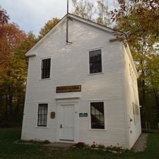
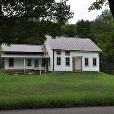
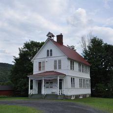
Waterbury is a small town in Washington County, Vermont, centered around a historic core with mountains nearby. It has three main areas: Waterbury Village with most government offices and services, Colbyville along Route 100 with shops and former mill sites, and Waterbury Center with a common area and older buildings listed on the National Register of Historic Places.
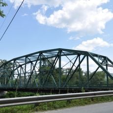
The town was founded in the late 1700s by settlers from Connecticut after the British Crown granted the land. In the 1800s, a railroad arrived, followed by mills powered by water that shaped early industry and economic growth.
The town takes its name from settlers who came from Waterbury, Connecticut and brought their heritage with them. This connection to the past remains visible in how locals maintain the historic districts and welcome visitors to experience the old buildings and traditions.
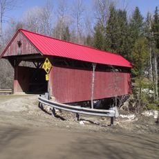
Visitors can walk through the historic village and explore old buildings on foot without difficulty. The streets are quiet and manageable, with parks and shops throughout, plus well-known stops like the cider mill that draw people to different parts of town.
A famous ice cream company started here and remains a major attraction with factory tours that draw many visitors. The town has survived significant flooding in the past and rebuilt each time, showing resilience in the face of natural challenges.
The community of curious travelers
AroundUs brings together thousands of curated places, local tips, and hidden gems, enriched daily by 60,000 contributors worldwide.