Chest opened
+${chestReward.xp} XP
Explorer
NOUVEAU ×${chestReward.collectible.quantity}
tapez pour fermer
Chest locked

Open chests in the app

Around Us is built for your phone — chests unlock when you walk, explore and capture nearby places.

Enable Location

We need your location to show you interesting places around you

Discover nearby places

Find interesting locations and hidden gems around you

Precise directions

Get accurate directions and distances to places

Your location is never shared with other users. It's only used when you tap the location button.

Paonia

Log in to your account

Start exploring — it's free

Trusted by 72,889 travelers worldwide

Continue with Google
Continue with Apple
or

We will send you a code to connect

By continuing, you accept our Terms and Conditions and our Privacy Policy

Check your inbox

We've sent a pincode in your inbox. Please enter the code below.

Discussion Reviews 1 Photos
31.3k Popularity

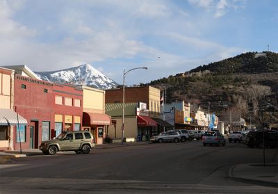
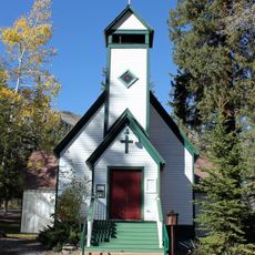
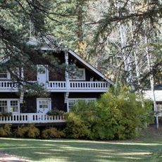
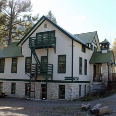
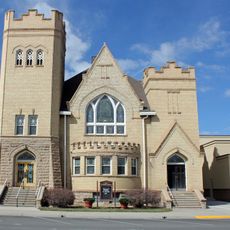
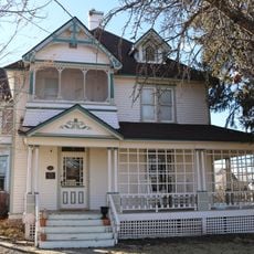
Paonia, Mountain town in Delta County, Colorado

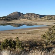
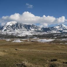
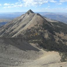
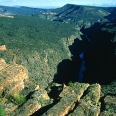
Paonia is a mountain town in Delta County, Colorado, situated on the North Fork Gunnison River at 1,732 meters elevation. The settlement occupies a mountainous area defined by its location near Mount Lamborn.

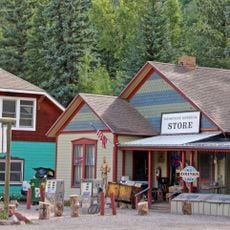
The settlement was founded in 1880 by Samuel Wade and William Clark following the federal closure of the Ute Indian Reservation in the North Fork Valley. This establishment marked the beginning of European-American settlement in the region.

The town centers on local farming and sustainable living practices, visible in community gatherings and the residents' commitment to ecological agriculture.

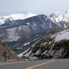
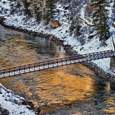
The area experiences warm summer days and cold winters, with substantial snowfall during the season. Visitors should prepare for the mountain elevation, particularly those arriving from lower regions.

The name comes from peony roots that founder Samuel Wade brought from Ohio and originally intended to call Paeonia. Postal regulations prompted the shortened name Paonia, which the town uses today.

The community of curious travelers

AroundUs brings together thousands of curated places, local tips, and hidden gems, enriched daily by 60,000 contributors worldwide.

Start exploring
Location
Inception
1880
Elevation above the sea
1,732 m
GPS coordinates
38.86750,-107.59200
Latest update
December 20, 2025 01:27
Around this place
Redstone Coke Oven Historic District
United States of America

Redstone Coke Oven Historic District

46.2 km
Redstone Castle
United States of America

Redstone Castle

45.2 km
Crawford State Park
United States of America

Crawford State Park

20.1 km
McClure Pass
United States of America

McClure Pass

39.5 km
Vega State Park
United States of America

Vega State Park

43.4 km
Needle Rock Natural Area
United States of America

Needle Rock Natural Area

16.3 km
Crystal Dam
United States of America

Crystal Dam

39.8 km
Egyptian Theatre
United States of America

Egyptian Theatre

43.8 km
Gunnison Gorge National Conservation Area
United States of America

Gunnison Gorge National Conservation Area

25.4 km
Mount Lamborn
United States of America

Mount Lamborn

9.4 km
West Elk Wilderness
United States of America

West Elk Wilderness

32.7 km
Gunnison Gorge Wilderness
United States of America

Gunnison Gorge Wilderness

30 km
Redstone Historic District
United States of America

Redstone Historic District

46.3 km
Crystal Reservoir
United States of America

Crystal Reservoir

43 km
Marble Community Church
United States of America

Marble Community Church

41.6 km
Osgood Gamekeeper's Lodge
United States of America

Osgood Gamekeeper's Lodge

45.2 km
North Rim Road, Black Canyon of the Gunnison National Park
United States of America

North Rim Road, Black Canyon of the Gunnison National Park

33.9 km
Marble High School
United States of America

Marble High School

41.4 km
First Methodist Episcopal Church of Delta
United States of America

First Methodist Episcopal Church of Delta

43.8 km
First Presbyterian Church of Eckert
United States of America

First Presbyterian Church of Eckert

33.1 km
Paonia First Christian Church
United States of America

Paonia First Christian Church

198 m
Hotchkiss Methodist Episcopal Church
United States of America

Hotchkiss Methodist Episcopal Church

13.2 km
North Rim Road
United States of America

North Rim Road

34.8 km
Garnethurst
United States of America

Garnethurst

43.2 km
Painted Wall
United States of America

Painted Wall

34 km
Black Canyon of the Gunnison
United States of America

Black Canyon of the Gunnison

23.2 km
South Rim Visitor Center
United States of America

South Rim Visitor Center

35.7 km
Gunnison Point
United States of America

Gunnison Point

35.7 km
Show the full map
Reviews
Share your experience

No review yet

Discussions
Start a discussion...

No discussion yet

« Paonia - Mountain town in Delta County, Colorado » is provided by Around Us (aroundus.com). Images and texts are derived from Wikimedia project under a Creative Commons license. You are allowed to copy, distribute, and modify copies of this page, under the conditions set by the license, as long as this note is clearly visible.

Discover hidden gems everywhere you go!

From secret cafés to breathtaking viewpoints, skip the crowded tourist spots and find places that match your style. Our app makes it easy with voice search, smart filtering, route optimization, and insider tips from travelers worldwide. Download now for the complete mobile experience.

Around Us App Screenshot

A unique approach to discovering new places

Le Figaro

All the places worth exploring

France Info

A tailor-made excursion in just a few clicks

20 Minutes

Around Us
Travel Guide & Maps
Download

Send to your phone

QR Code
1

Open the camera app on your mobile.

2

Point at the QR code with your camera. A notification will appear.

3

Tap the notification to open the link.