Enable Location

We need your location to show you interesting places around you

Discover nearby places

Find interesting locations and hidden gems around you

Precise directions

Get accurate directions and distances to places

Your location is never shared with other users. It's only used when you tap the location button.

Chelmsford

Log in to your account

Start exploring — it's free

Trusted by 61,956 travelers worldwide

Continue with Google
Continue with Apple
or

We will send you a code to connect

By continuing, you accept our Terms and Conditions and our Privacy Policy

Check your inbox

We've sent a pincode in your inbox. Please enter the code below.

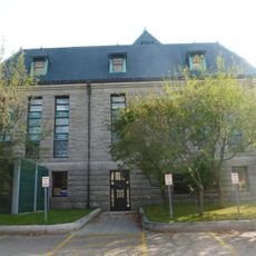
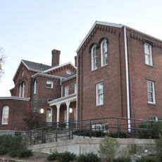
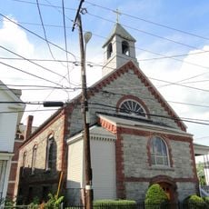
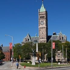
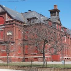
Chelmsford, Colonial town in Middlesex County, Massachusetts, United States

Chelmsford is a town in Middlesex County, Massachusetts, situated roughly 24 miles north of Boston with both residential and commercial areas spread across its landscape. The town is bordered by Lowell, Tewksbury, Carlisle, Billerica, Westford, and Tyngsboro, making it part of a larger regional network.

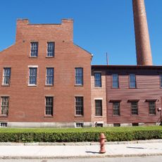
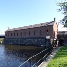
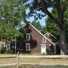
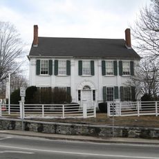
The settlement was established in 1633 and formally incorporated in 1655, beginning as an agricultural community with sawmills and limestone quarries that eventually transformed into a modern residential center. This economic shift shaped the town's development over the centuries.

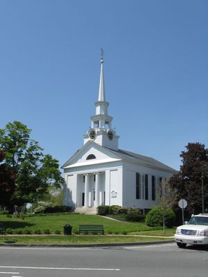
The Town Common serves as the heart of the community, where locals and visitors gather for celebrations like Independence Day in July and the yearly Winterfest festival held each February.

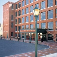
Visitors can find various businesses and services at Chelmsford Cross Roads, where Routes 495, 3, and 129 intersect, offering convenient access from multiple directions. The central location makes it easy to reach other nearby communities from this hub.

In 1657, John Fiske, a minister at the local Unitarian church, wrote a religious teaching text called the Chelmsford Catechism that is now housed in the New York Public Library. This manuscript offers a glimpse into the educational and spiritual life of the early settlement.

The community of curious travelers

AroundUs brings together thousands of curated places, local tips, and hidden gems, enriched daily by 60,000 contributors worldwide.

Start exploring
Location
Inception
1633
Elevation above the sea
75 m
Part of
Merrimack Valley
GPS coordinates
42.59972,-71.36778
Latest update
December 14, 2025 21:18
Around this place
Tsongas Center
United States of America

Tsongas Center

7.2 km
Lowell National Historical Park
United States of America

Lowell National Historical Park

6.2 km
Cross Point Lowell
United States of America

Cross Point Lowell

3.9 km
Boott Mills
United States of America

Boott Mills

7.3 km
Pawtucket Falls
United States of America

Pawtucket Falls

6.2 km
Lowell Memorial Auditorium
United States of America

Lowell Memorial Auditorium

7.3 km
American Textile History Museum
United States of America

American Textile History Museum

6.3 km
Lowell Power Canal System
United States of America

Lowell Power Canal System

6.4 km
Great Brook Farm State Park
United States of America

Great Brook Farm State Park

5 km
Whistler House Museum of Art
United States of America

Whistler House Museum of Art

6.6 km
Lowell Heritage State Park
United States of America

Lowell Heritage State Park

4.9 km
Edson Cemetery
United States of America

Edson Cemetery

5.3 km
Merrimack Repertory Theatre
United States of America

Merrimack Repertory Theatre

7.3 km
Chelmsford Forum
United States of America

Chelmsford Forum

5.1 km
New England Quilt Museum
United States of America

New England Quilt Museum

6.8 km
Pollard Memorial Library
United States of America

Pollard Memorial Library

6.8 km
Manning Manse
United States of America

Manning Manse

5.7 km
Merrimack Canal
United States of America

Merrimack Canal

6.7 km
Wannalancit Mills
United States of America

Wannalancit Mills

7 km
Jonathan Bowers House
United States of America

Jonathan Bowers House

6.1 km
Old Chelmsford Garrison House
United States of America

Old Chelmsford Garrison House

3.1 km
St. Joseph's Convent and School
United States of America

St. Joseph's Convent and School

6.8 km
Jerathmell Bowers House
United States of America

Jerathmell Bowers House

3.6 km
Allen House
United States of America

Allen House

5.4 km
St. George Antiochian Orthodox Church
United States of America

St. George Antiochian Orthodox Church

6.4 km
City Hall Historic District
United States of America

City Hall Historic District

6.8 km
Butler School
United States of America

Butler School

6 km
Fiske House
United States of America

Fiske House

1.4 km
Show the full map
« Chelmsford - Colonial town in Middlesex County, Massachusetts, United States » is provided by Around Us (aroundus.com). Images and texts are derived from Wikimedia project under a Creative Commons license. You are allowed to copy, distribute, and modify copies of this page, under the conditions set by the license, as long as this note is clearly visible.

Discover hidden gems everywhere you go!

From secret cafés to breathtaking viewpoints, skip the crowded tourist spots and find places that match your style. Our app makes it easy with voice search, smart filtering, route optimization, and insider tips from travelers worldwide. Download now for the complete mobile experience.

Around Us App Screenshot

A unique approach to discovering new places

Le Figaro

All the places worth exploring

France Info

A tailor-made excursion in just a few clicks

20 Minutes

Around Us
Travel Guide & Maps
Download

Send to your phone

QR Code
1

Open the camera app on your mobile.

2

Point at the QR code with your camera. A notification will appear.

3

Tap the notification to open the link.