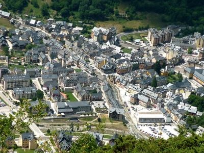
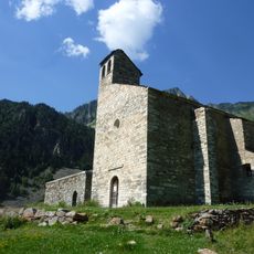
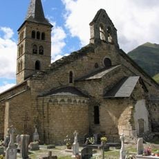
Val d'Aran, Mountain valley in Catalonia, Spain
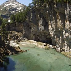
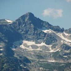
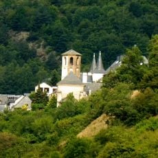
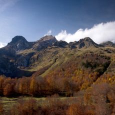
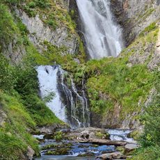
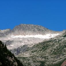
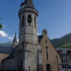
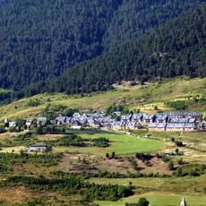
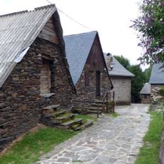
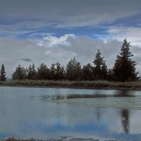
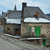
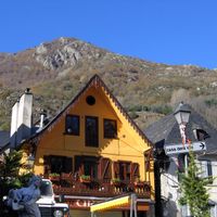
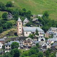
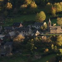
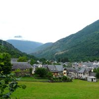
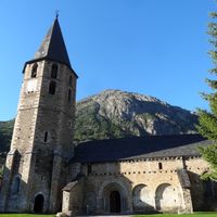
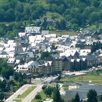
The valley is a mountain territory in northwestern Catalonia comprising nine municipalities with Vielha e Mijaran as its main town. The floor runs along the Garonne river, which rises here and flows north toward the Atlantic, while the surrounding mountain slopes are covered with forests.
King James II of Aragon granted the territory political self-governance in 1313 as recognition for its support during territorial disputes with France. This special status shaped the administrative structure for centuries and allowed inhabitants to manage their own affairs independently.
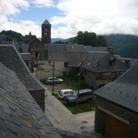
Residents speak Aranese in daily conversation, a language heard throughout the valley settlements and visible on street signs, shop fronts and public notices. This linguistic tradition shows itself most clearly in place names and in market day exchanges, where older and younger generations alike use the local speech.
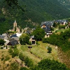
The Vielha tunnel opened in 1948 allows year-round connections between the territory and the southern Pyrenees, making the area reachable in all seasons. Roads within the territory link the nine municipalities together and wind through forested slopes and along the river.
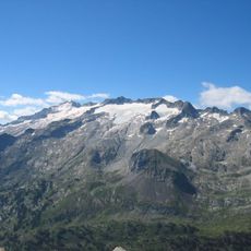
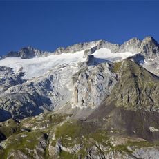
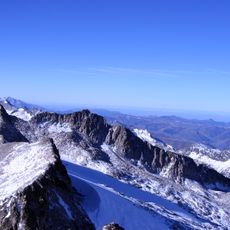
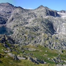
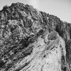
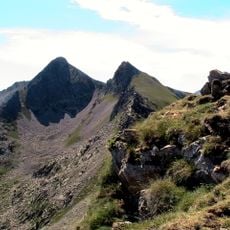
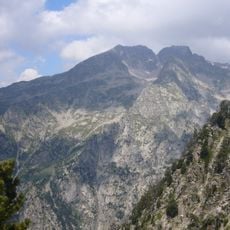
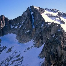
This territory forms the only part of Catalonia on the northern side of the Pyrenees, with rivers draining toward the Atlantic rather than the Mediterranean. This geographic particularity has shaped climate, vegetation and the way of life of valley inhabitants over centuries.
The community of curious travelers
AroundUs brings together thousands of curated places, local tips, and hidden gems, enriched daily by 60,000 contributors worldwide.