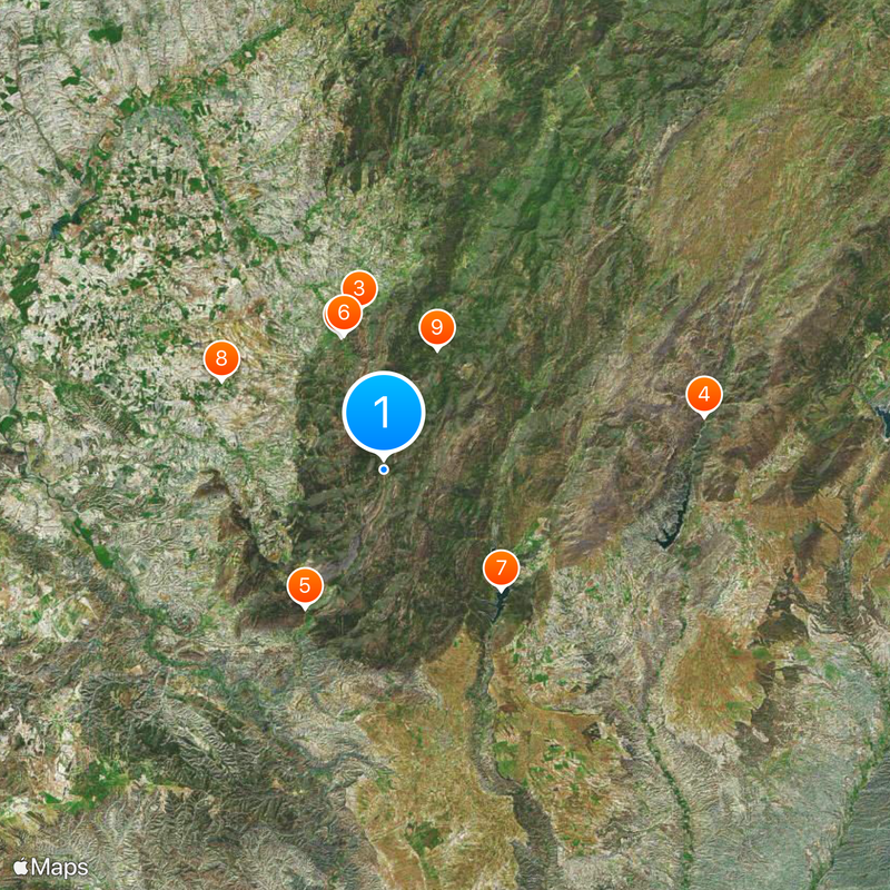
Guadalquivir, River network from Sierra de Cazorla to Atlantic Ocean, Spain
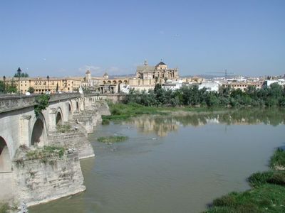
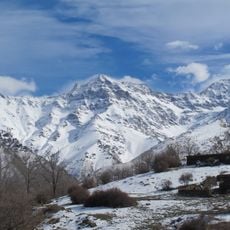
The Guadalquivir is a river system in Andalusia that rises in the Sierra de Cazorla and runs for more than 650 kilometers to the Atlantic outlet near Sanlúcar de Barrameda. It crosses several provinces and connects cities such as Córdoba and Seville to the sea through a waterway still used for navigation today.
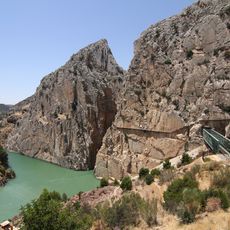
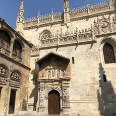
Romans called it Baetis and used it for trade routes linking Córdoba to the ocean, enabling the rise of major ports. Later, Moorish rulers built watchtowers on its banks to control navigation and the cities along the waterway.
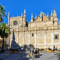
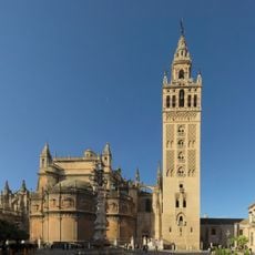
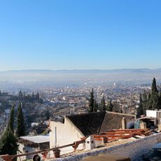
The Arabic name means "the great river," a term travelers hear when locals explain why this waterway shaped Andalusian identity for centuries. Its banks host cafés and promenades where residents walk in the evening and watch boats pass beneath stone bridges that once connected fortified towns.
Visitors can walk along the riverside promenades where viewpoints open onto the water and surrounding landscapes. Many sections offer parking and access paths that make it easy to explore different parts of the river course.
The river basin shelters half of Europe's plant species and numerous North African varieties, forming an ecological bridge between two continents. This diversity arises from the combination of mountain sources, wide plains, and estuary wetlands along its entire course.
The community of curious travelers
AroundUs brings together thousands of curated places, local tips, and hidden gems, enriched daily by 60,000 contributors worldwide.