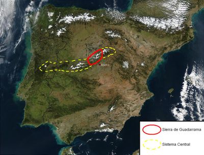
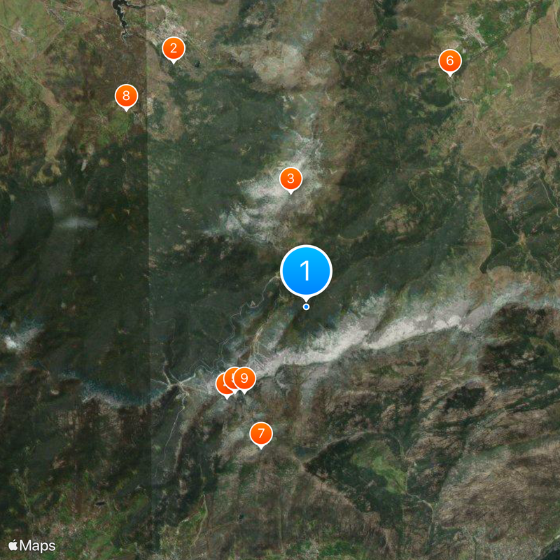
Sierra de Guadarrama, Mountain range in Central Spain.
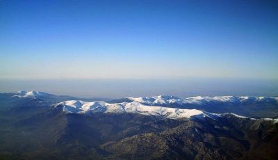
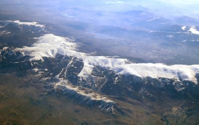
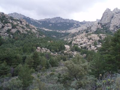
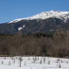
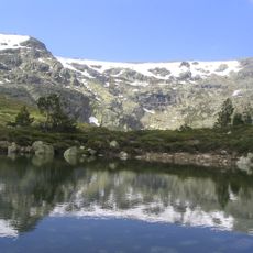
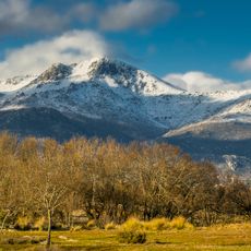
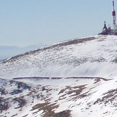
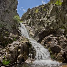
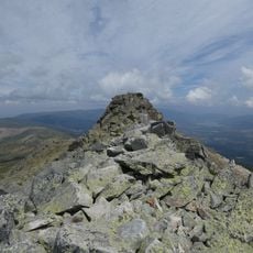
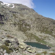
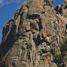
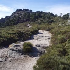
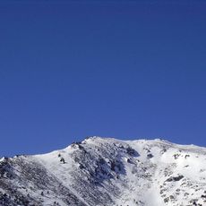
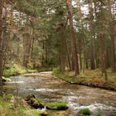
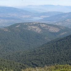
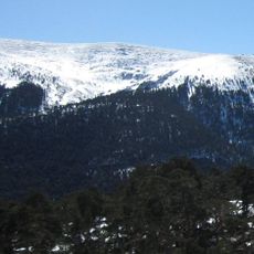
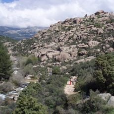
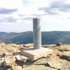
The Sierra de Guadarrama is a mountain range in central Spain stretching roughly 80 kilometers between Madrid and Segovia provinces, with peaks rising to 2,430 meters. The range consists mainly of granite and gneiss, forming rocky summits and boulder fields surrounded by pine forests and high-altitude meadows.
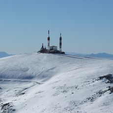
The range served as a natural defense line during the Spanish Civil War, with positions built across many peaks and passes. Centuries earlier, these mountains separated Christian Castile from the Moorish south, shaping the political map of the peninsula.
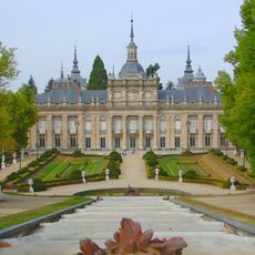
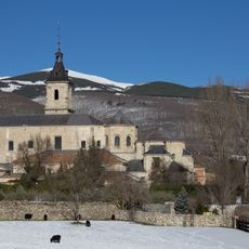
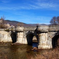
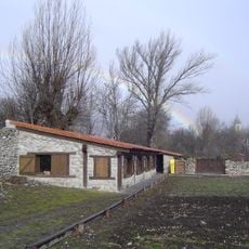
The name Guadarrama comes from an Arabic word meaning sandy river, recalling centuries of Moorish presence in the region. Villages on the southern slopes show their own architecture with stone houses and narrow lanes adapted to harsh winter conditions.
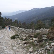
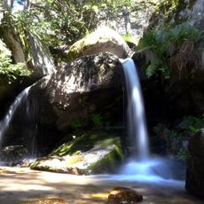
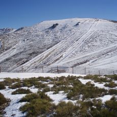
Eight marked hiking trails and six cycling routes cross the national park, linking main access points from towns like Navacerrada and Cercedilla. In summer, higher elevations offer cooler temperatures, while winter brings snow to the summits and opens opportunities for winter sports.
The national park covers around 34,000 hectares and provides habitat for Iberian wolves, black vultures, and golden eagles. On the higher slopes grow centuries-old pines that have survived extreme cold and strong winds.
The community of curious travelers
AroundUs brings together thousands of curated places, local tips, and hidden gems, enriched daily by 60,000 contributors worldwide.