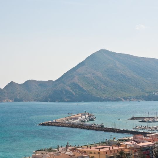
Serra Gelada and Litoral de la Marina Baixa, Nature park in Altea, Spain
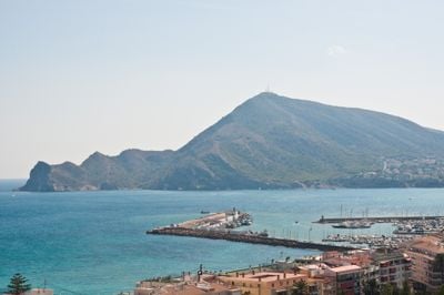
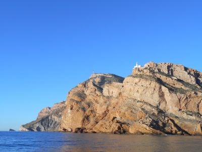
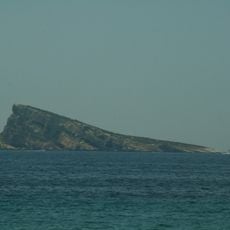
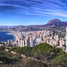
Serra Gelada and Litoral de la Marina Baixa is a protected nature park whose main ridge runs 6 km northeast to southwest between the bays of Benidorm and Altea. Its southeast face falls to the sea in cliffs over 300 m high, while the northwest slope is gentler and cut by drainage channels. The park covers 5,653.92 hectares, of which 4,908.95 are marine and 744.97 land; the summit, Alto del Gobernador, reaches 430 m and carries radio antennas.
Mining for ochre was carried out in the Sierra Helada from Phoenician times until the mid-20th century. The sierra and the islets of Mitjana and Benidorm are tectonic in origin, probably from the beginning of the Pliocene. The Valencian Community declared it a natural park on 29 July 2005, covering 5,653.92 hectares, of which 4,908.95 are marine and 744.97 land.
The name Sierra Helada means "frosty range": Mediterranean fishermen thought the cliffs looked like an iceberg on moonlit nights. Ocher mining was carried out here from Phoenician times until the mid-20th century. The park also holds the cross of Benidorm, watchtowers and the Albir lighthouse.
Multiple hiking trails wind through the area, with parking spots and information centers offering maps and guidance for different ability levels. Plan adequate time for exploration, as the terrain is varied and walking conditions change depending on which routes you choose.
The Sierra Helada's cliffs were mined for ochre from Phoenician times until the mid-20th century, a trade that left its mark on the rock faces. The park also holds the Cueva del Faro del Albir, a karst cave with stalactites and stalagmites, and the abandoned Torre de les Caletes on the Punta de les Caletes in Benidorm.
The community of curious travelers
AroundUs brings together thousands of curated places, local tips, and hidden gems, enriched daily by 94,382 contributors worldwide.