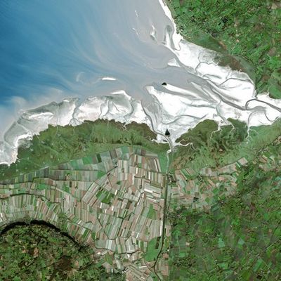
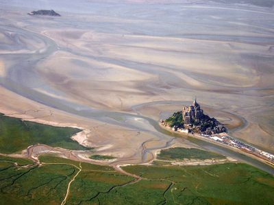
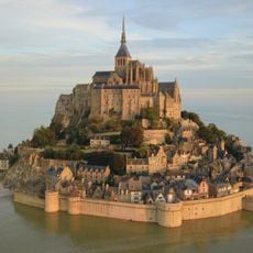
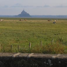
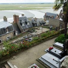
Mont-Saint-Michel Bay, Tidal bay along the Normandy coast, France.
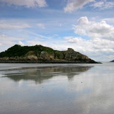
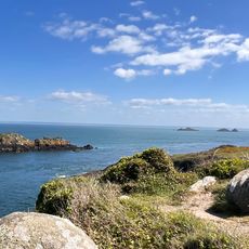
Mont-Saint-Michel Bay spreads across flat tidal zones between Brittany and Normandy, with expansive sand flats that emerge and vanish with each tidal cycle. The area contains a complex network of river channels, salt marshes, and shallow waterways that follow the rhythm of tidal movement.
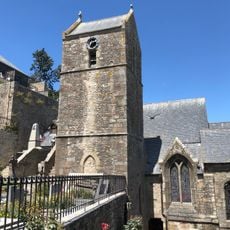
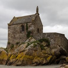
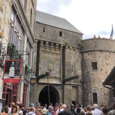
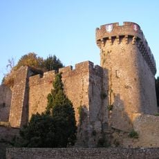
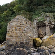
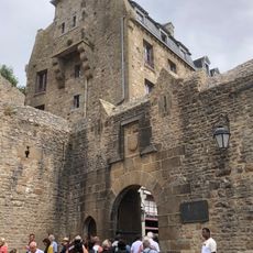
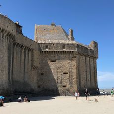
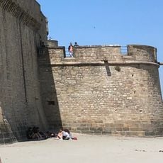
The bay formed through millennia of erosion and sediment deposits that gradually shaped the coastal landscape visible today. Its geography served as a natural barrier during medieval conflicts, helping keep the neighboring island difficult to attack.
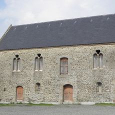
Local mussel and oyster farming continues to shape how people interact with the bay's waters, with traditional harvesting methods still visible in designated cultivation areas. This work remains central to the region's identity and daily life along the shore.
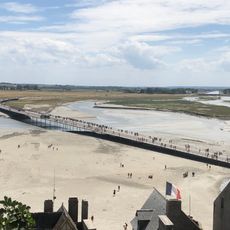
Visitors can walk across the bay during low tide, though the water returns quickly and changes are dramatic. Checking tide times and joining a local guide ensures safe passage across the wide flats.
The tidal range here ranks among Europe's most extreme, with water levels rising 12 meters or more between low and high tide. This dramatic shift occurs because the bay's shape and continental shelf concentrate tidal energy into a narrow space.
The community of curious travelers
AroundUs brings together thousands of curated places, local tips, and hidden gems, enriched daily by 60,000 contributors worldwide.