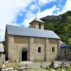
Gavarnie, former commune in Hautes-Pyrénées, France
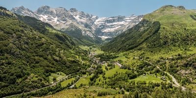
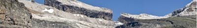
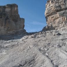
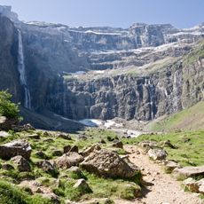
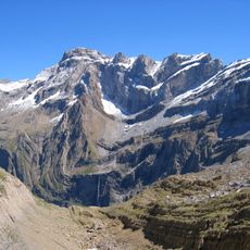
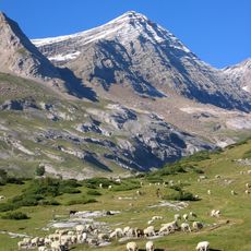
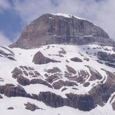
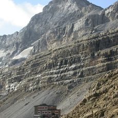
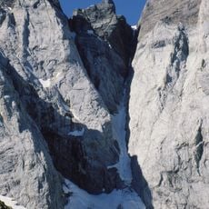
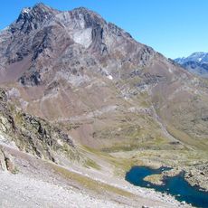
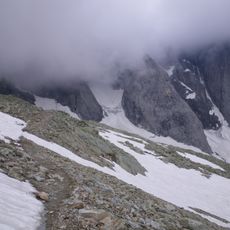
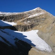
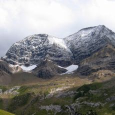
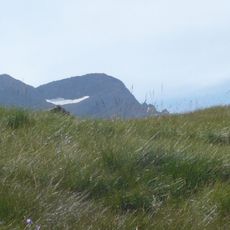
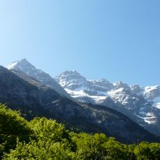
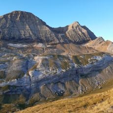
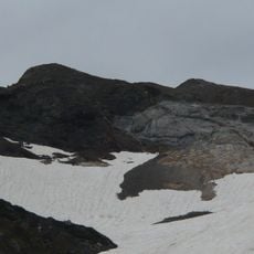
Gavarnie is a small village in the Hautes-Pyrénées sitting at the foot of the Cirque de Gavarnie, a massive natural rock formation. Towering limestone cliffs rise more than 1,700 meters above the valley floor, forming a giant semicircular amphitheater that dominates the landscape.
Gavarnie was once a quiet place where shepherds and farmers lived and worked until explorers and researchers grew interested in its distinctive mountain landscape. The area was later designated part of a national park to protect the natural environment and preserve its character.
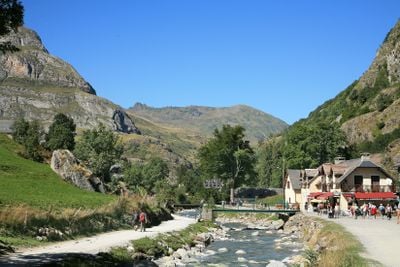
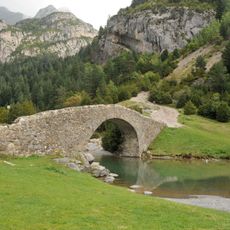
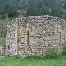
The name Gavarnie likely comes from a Basque word meaning gorge or canyon. Stone houses with slate roofs line the village streets, and summer markets bring locals together to sell fresh cheese, bread, and fruits while sharing news and traditions tied to mountain life.
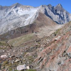
The village is reached by a mountain road that winds through forests and meadows with narrow turns and steep climbs to navigate. Once there, walking trails, bike rentals, and guided hikes are available to explore the paths around the cliffs and waterfalls at your own pace.
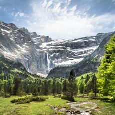
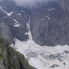
The Grande Cascade is one of Europe's highest waterfalls and plunges with a thundering rush from the cliff top. Fed by snowmelt, particularly in spring when snow melts, the waterfall reaches its most powerful flow during these months.
The community of curious travelers
AroundUs brings together thousands of curated places, local tips, and hidden gems, enriched daily by 60,000 contributors worldwide.