Vercors, Mountain range in Isère, France
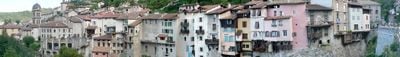
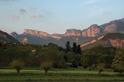
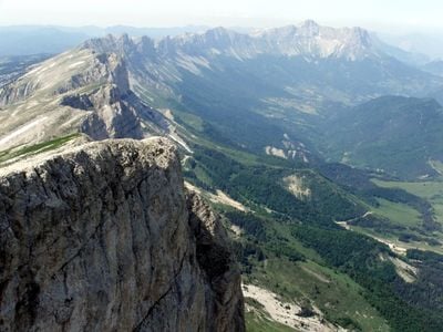
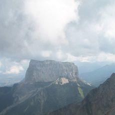
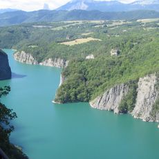
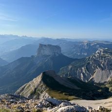
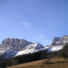
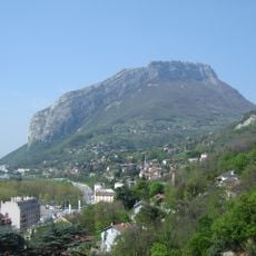
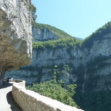
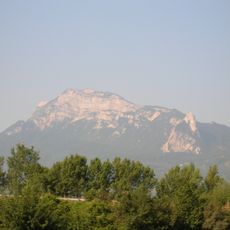
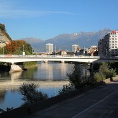
The Vercors is a mountain range in the French Prealps, spanning the departments of Isère and Drôme, with steep limestone cliffs rising from the surrounding valleys. The terrain forms broad plateaus cut through by deep gorges and canyons.
During World War II, the range became a refuge for French Resistance fighters who used its gorges and forests to hide from German forces. A German offensive in July 1944 caused severe losses among both fighters and civilians living in the area.
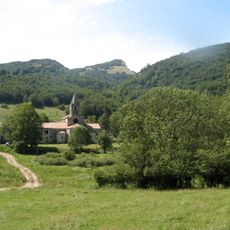
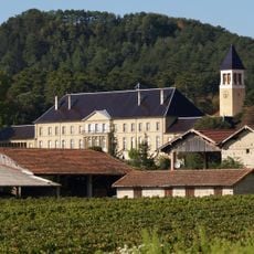
Cheese varieties like the Bleu du Vercors-Sassenage are still made on the high plateaus using old methods passed down over generations. In summer, herds graze on the hillsides, and visitors can stop at small local dairies to buy the products directly.
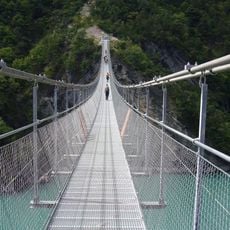
Marked trails connect the villages and lead to the high plateaus as well as into the deep gorges. In winter, snow can make some access roads difficult, so it is worth checking conditions before you set out.
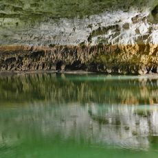
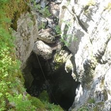
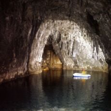
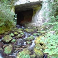
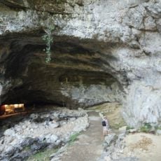
Below the high plateaus lies a network of caves and underground river passages that explorers have been mapping for decades. The Gouffre Berger was considered the deepest known cave in the world after its discovery in the 1950s.
The community of curious travelers
AroundUs brings together thousands of curated places, local tips, and hidden gems, enriched daily by 60,000 contributors worldwide.