
Herend, town in Hungary
Location: Veszprém District
Website: http://www.herend.hu
Shares border with: Hárskút, Márkó, Bánd, Szentgál
Website: http://herend.hu
GPS coordinates: 47.13250,17.75111
Latest update: April 21, 2025 06:44
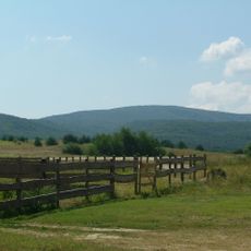
Bakony
6.5 km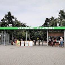
Kittenberger Kálmán Zoo & Botanical Garden
11.7 km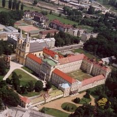
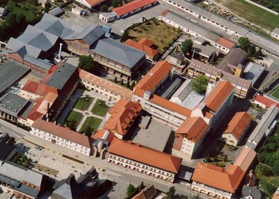
Zirc Abbey
17.2 km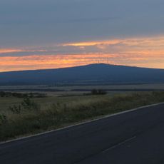
Kab Hill
12 km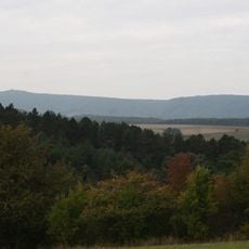
Kőris-hegy
18 km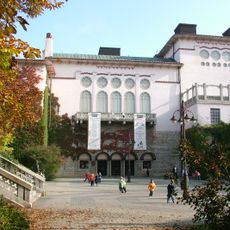
Petőfi Theatre
12.6 km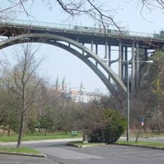
Viaduct of Veszprém
11.7 km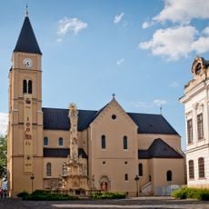
St. Michael's Cathedral, Veszprém
12.2 km
Húszemeletes
12.8 km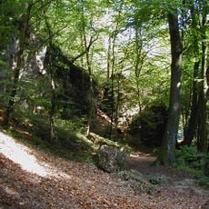
Magas-bakonyi Tájvédelmi Körzet
14.4 km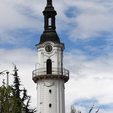
Fire watchtower in Veszprém
12.4 km
Giselle Chapel in Veszprém
12.2 km
Zirc Arboretum
17.4 km
Bakonybél Abbey
13.4 km
Margaret ruins in Veszprém
11.9 km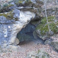
Szentgál Rockhole
3.4 km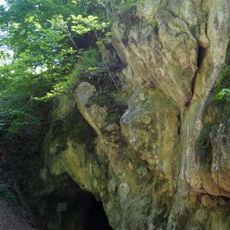
Odvas-kői Cave
17.6 km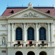
County hall in Veszprém
12.7 km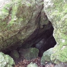
Hajszabarna Pénz Hole
12.5 km
Brusznyai Street 2, Veszprém
12.8 km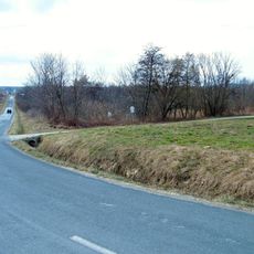
'Bakonygyepesi Zergebogláros' Nature Reserve
14.6 km
Ararat (Noah's Ark) monument
12.7 km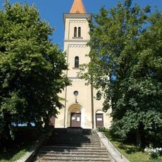
Preĝejo Sankta Ladislao
11.7 km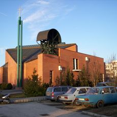
Our Lady of Hungary Church in Veszprém
14 km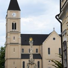
Ferences templom (Veszprém)
12.2 km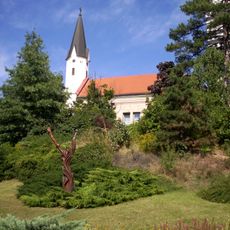
Lutheran Church in Veszprém
12.8 km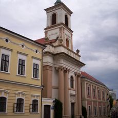
Saint Emeric Church in Veszprém
12.3 km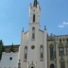
Church of the Sisters of Loreto, Veszprém
12.5 kmReviews
Visited this place? Tap the stars to rate it and share your experience / photos with the community! Try now! You can cancel it anytime.
Discover hidden gems everywhere you go!
From secret cafés to breathtaking viewpoints, skip the crowded tourist spots and find places that match your style. Our app makes it easy with voice search, smart filtering, route optimization, and insider tips from travelers worldwide. Download now for the complete mobile experience.

A unique approach to discovering new places❞
— Le Figaro
All the places worth exploring❞
— France Info
A tailor-made excursion in just a few clicks❞
— 20 Minutes