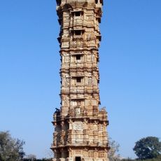
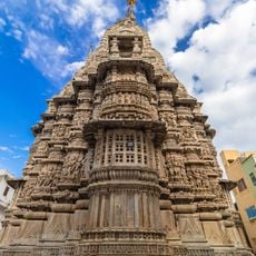
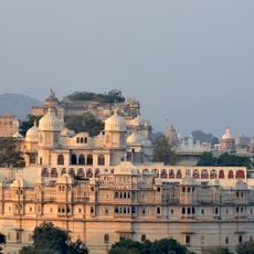
Rajsamand district, Administrative district in Udaipur division, India
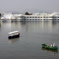
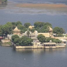
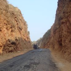
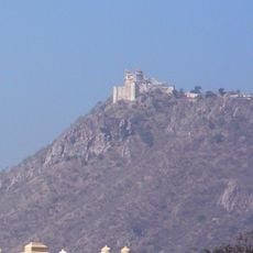
Rajsamand is an administrative district in the Udaipur division, covering hilly terrain with the Aravalli Range forming its northwestern edge. The landscape is shaped by the large lake from which it takes its name, mixing mountains, water bodies, and flatter areas throughout the region.
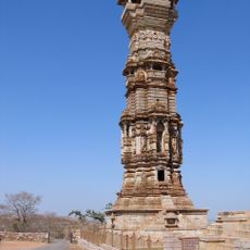
The district was established in 1991, though its name comes from a lake built in the 17th century during a ruler's reign. This connection to an earlier period still shapes how the place is understood today.
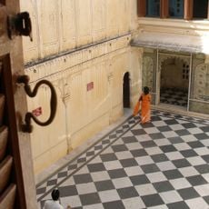
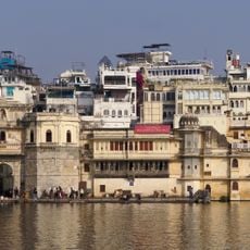
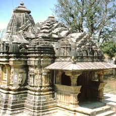
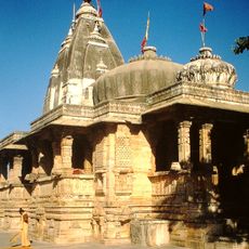
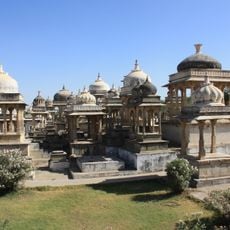
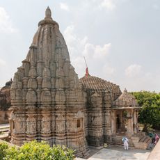
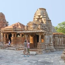
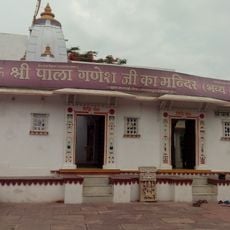
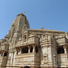
The district is named after Rajsamand Lake, a large reservoir that shapes the landscape and local identity. Hindu customs and practices are woven into daily life here, and you'll hear Mewari and Rajasthani spoken throughout the communities.
The district headquarters is connected to Udaipur by a major road, and a railway station offers train access to the area. These connections make it straightforward to reach and move around the district.
The area is known for stone and marble quarrying, with numerous mines that have supplied this material for many years. The landscape and local economy are heavily shaped by this industry.
The community of curious travelers
AroundUs brings together thousands of curated places, local tips, and hidden gems, enriched daily by 60,000 contributors worldwide.