Enable Location

We need your location to show you interesting places around you

Discover nearby places

Find interesting locations and hidden gems around you

Precise directions

Get accurate directions and distances to places

Your location is never shared with other users. It's only used when you tap the location button.

Thane district

Log in to your account

Start exploring — it's free

Trusted by 62,841 travelers worldwide

Continue with Google
Continue with Apple
or

We will send you a code to connect

By continuing, you accept our Terms and Conditions and our Privacy Policy

Check your inbox

We've sent a pincode in your inbox. Please enter the code below.

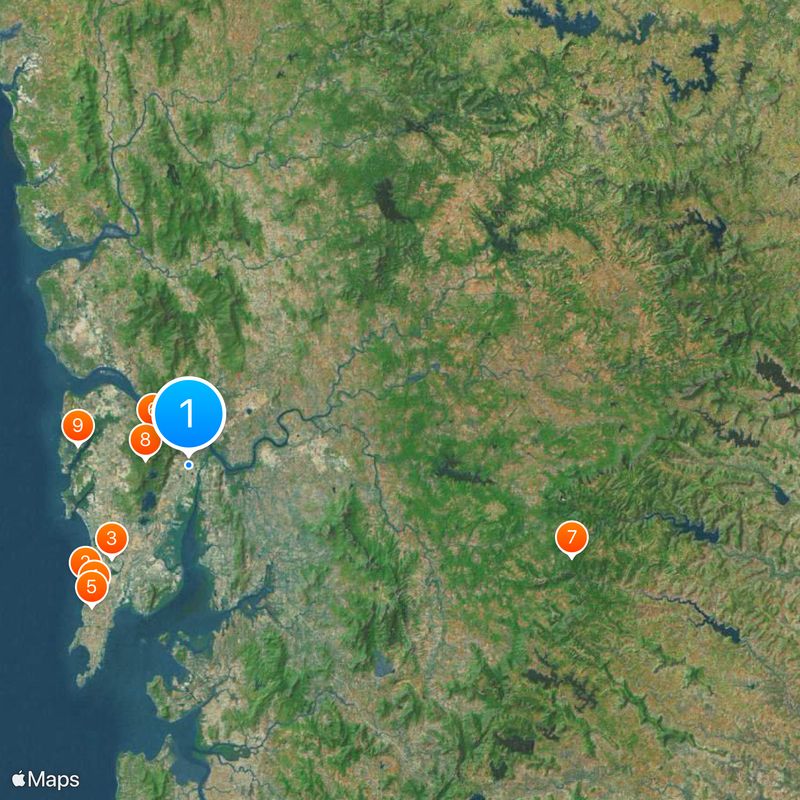
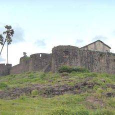
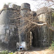
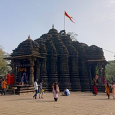
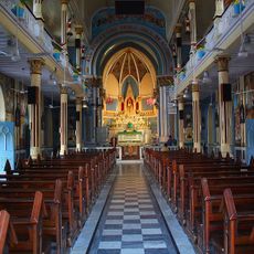
Thane district, Administrative district in Konkan division, Maharashtra, India

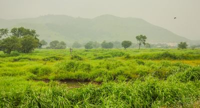
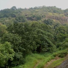
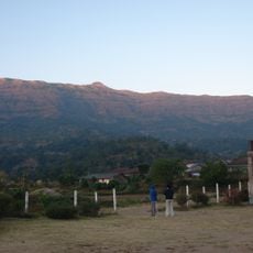
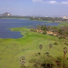
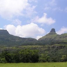
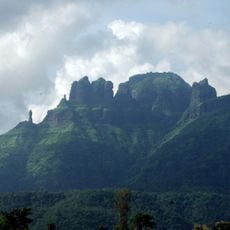
Thane is an administrative area in the Konkan division of western Maharashtra that stretches between coastal plains and the forested slopes of the Sahyadri range. The region connects urban centers with rural areas where rice paddies, small settlements, and mangrove forests along river estuaries shape the landscape.

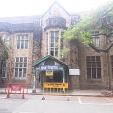
The British colonial administration separated the area from the larger North Konkan unit in 1833 and established an independent district center. The town of Thane was named the administrative seat where government offices and courts settled.

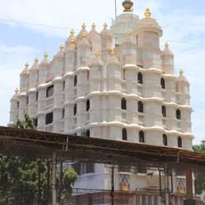
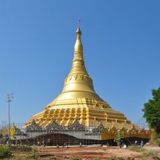
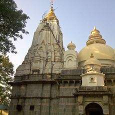
Multiple religious groups reside in the district, with Hinduism representing 74 percent of the population, followed by Islamic, Buddhist, and Christian communities.

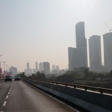
Most visitors arrive through Thane or Kalyan stations, which connect with the regional commuter railway network. From there, local buses and taxis reach smaller towns and rural areas within the district.

The Ulhas and Vaitarna rivers originate in different mountain regions outside the district and pass through several valleys before reaching the area. Local communities rely on their water for agriculture and drinking supply along the banks.

The community of curious travelers

AroundUs brings together thousands of curated places, local tips, and hidden gems, enriched daily by 60,000 contributors worldwide.

Start exploring
Location
Inception
1833
Capital city
Thane
Elevation above the sea
11 m
Shares border with
Valsad district, Pune district
GPS coordinates
19.20000,72.97000
Latest update
December 12, 2025 23:26
« Thane district - Administrative district in Konkan division, Maharashtra, India » is provided by Around Us (aroundus.com). Images and texts are derived from Wikimedia project under a Creative Commons license. You are allowed to copy, distribute, and modify copies of this page, under the conditions set by the license, as long as this note is clearly visible.

Discover hidden gems everywhere you go!

From secret cafés to breathtaking viewpoints, skip the crowded tourist spots and find places that match your style. Our app makes it easy with voice search, smart filtering, route optimization, and insider tips from travelers worldwide. Download now for the complete mobile experience.

Around Us App Screenshot

A unique approach to discovering new places

Le Figaro

All the places worth exploring

France Info

A tailor-made excursion in just a few clicks

20 Minutes

Around Us
Travel Guide & Maps
Download

Send to your phone

QR Code
1

Open the camera app on your mobile.

2

Point at the QR code with your camera. A notification will appear.

3

Tap the notification to open the link.