Guhagar, town in Ratnagiri district in Maharashtra state
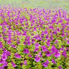
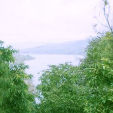
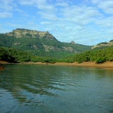
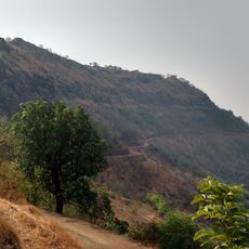
Guhagar is a small coastal town in Ratnagiri district, Maharashtra, stretching between green hills and the Arabian Sea. It is known for its long beach with soft sand, coconut palms, and calm waters that remain less crowded than other popular beaches in the region.
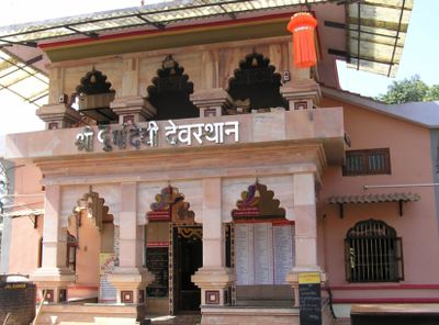
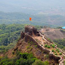
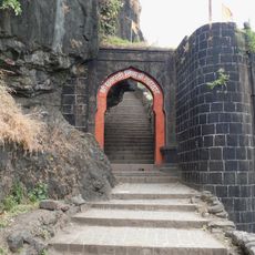
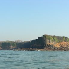
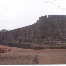
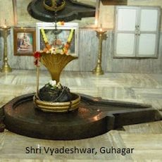
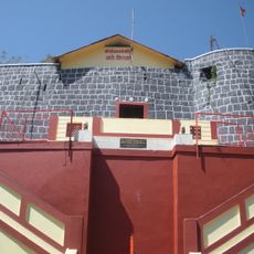
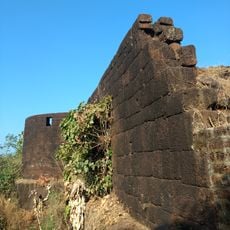
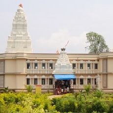
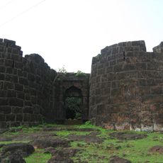
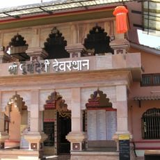
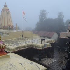
Guhagar has a history stretching back many centuries, reflected in its temples and local traditions. The town has remained a peaceful coastal settlement since ancient times, with its simple architecture preserving evidence of long continuous habitation and connection to the sea.
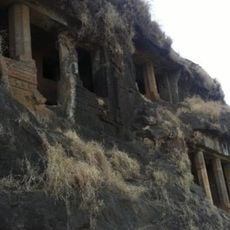
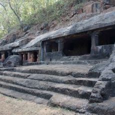
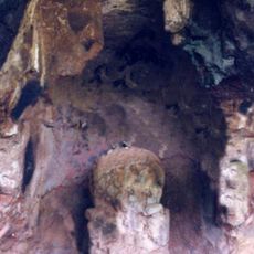
The name Guhagar means cave house in the local Marathi language and reflects the region's past. Coconut palms shape the town's character and remain central to daily commerce, with traditional crafts like coir and bamboo products sold in local markets.
Visitors reach Guhagar best by road or bus, with the nearest train station at Chiplun about 45 kilometers away. The town offers small guesthouses and homestays, and the best time to visit is November to February when the climate is mild and comfortable for outdoor activities.
The town was featured in the film Killa, which showcased the area's traditional setting and scenic views. Guhagar is also known for its Alphonso mangoes, considered some of India's finest, which fill the air with their scent during harvest season.
The community of curious travelers
AroundUs brings together thousands of curated places, local tips, and hidden gems, enriched daily by 60,000 contributors worldwide.