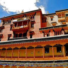
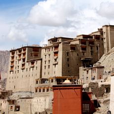
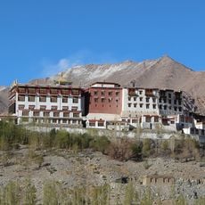
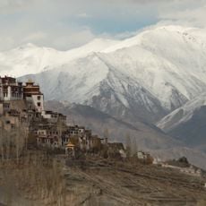
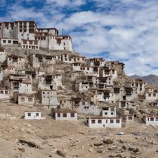
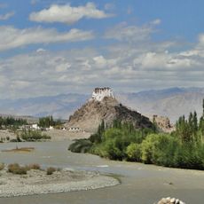
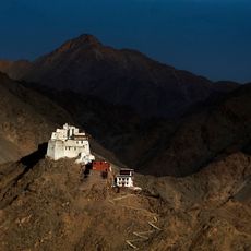
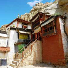
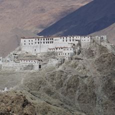
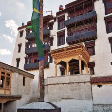
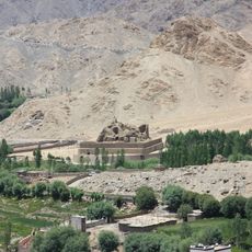
Ladakh Range, Mountain range in Ladakh, India
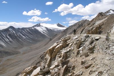
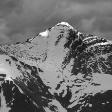
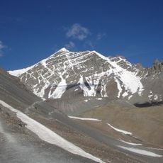
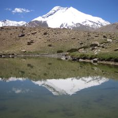
The Ladakh Range stretches between the Indus and Shyok river valleys, with its highest peaks rising above 6,000 meters. The terrain displays bare, rocky slopes with minimal vegetation, sculpted by deep river canyons and glacial activity.
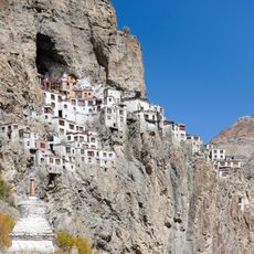
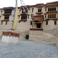
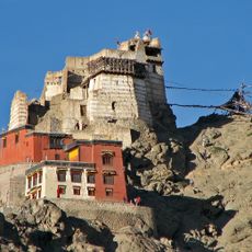
This mountain range served as a critical trade corridor linking Leh to Tibet, Yarkand, and Srinagar, enabling commerce across Central Asia for centuries. The pathway became a vital artery for exchange and cultural contact between distant regions.
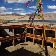
Nomadic herding communities have shaped life on these slopes for centuries, moving their flocks of yaks and sheep across seasonal pastures. The daily rhythm of the mountain reflects the traditions and skills passed down through generations of these pastoral families.
The best time to explore this region is from June through September when mountain passes remain clear and weather conditions are most stable. The high altitude demands acclimatization, so taking time to adjust before venturing to higher elevations is essential.
The range contains massive granite formations known as the Ladakh batholith, shaped by the collision of continental plates millions of years ago. This geological feature makes it a window into how mountains form through some of Earth's most powerful natural forces.
The community of curious travelers
AroundUs brings together thousands of curated places, local tips, and hidden gems, enriched daily by 60,000 contributors worldwide.